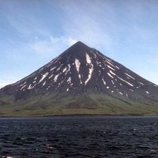
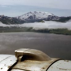
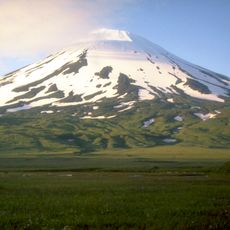
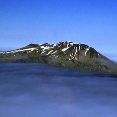
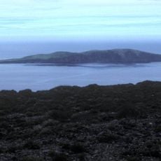
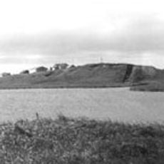
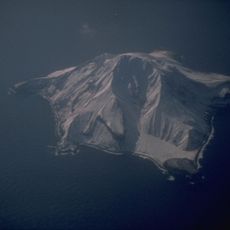
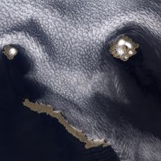
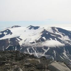
Gareloi Volcano, Active stratovolcano on Gareloi Island, Aleutian Islands, Alaska, United States.
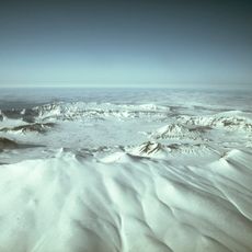
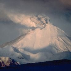
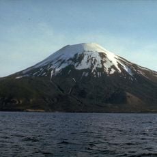
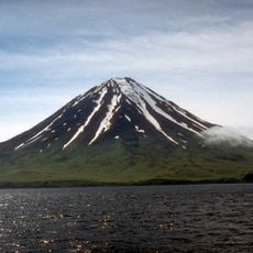
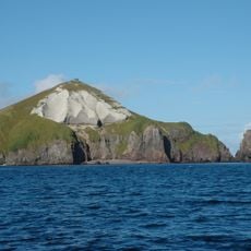
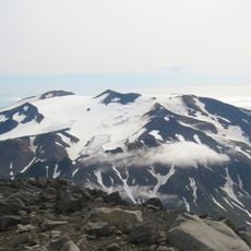
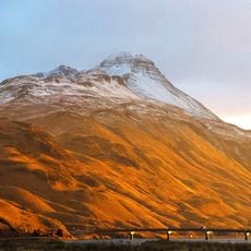
Gareloi Volcano is a stratovolcano that forms most of Gareloi Island in Alaska's Aleutian Islands, about 2,026 km from Anchorage. Its base measures 10 by 8 km and holds two craters: the southern one is 300 m wide with fumaroles, while the northern is enclosed. Two small glaciers extend to the northwest and southeast.
Gareloi's recorded eruptive history begins at least by 1760, with at least twelve summit eruptions of Volcanic Explosivity Index 1 to 3, typically a central-vent eruption followed by an explosive phase. The April 1929 eruption opened a fissure along the southern summit where thirteen craters formed, producing four lava flows, andesitic tuff, volcanic glass and red scoria, plus a lahar from the summit. After 1929 the next confirmed eruption came on 8 August 1980, when ash rose above 35,000 feet.
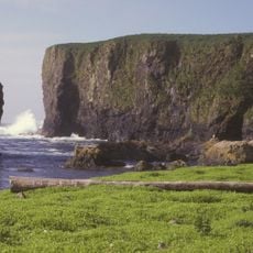
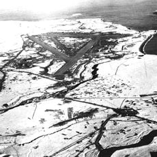
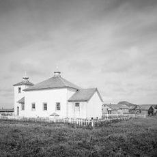
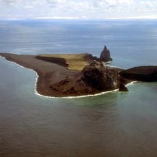
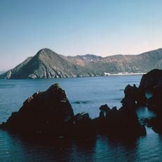
Gareloi Island is uninhabited and lies within the Alaska Maritime National Wildlife Refuge, managed by the U.S. Fish and Wildlife Service. The island's name and the volcano's were charted in 1741 during Vitus Bering's expedition, when a storm forced his ships toward the Aleutians. No permanent settlement or local tradition is recorded for the island itself.
Visiting requires arranging charter flights or boat trips from nearby settlements, as regular transportation does not exist. The remote location and changing weather conditions demand preparation and experience with isolated destinations.
Gareloi's two glaciers are small and cling to the northwest and southeast of the island, but the rock beneath them records a glacial retreat that began about 10,000 years ago. Landslide debris on the north and east flanks, plus three debris-flow masses offshore, helped geologists date the edifice to the Pleistocene.
The community of curious travelers
AroundUs brings together thousands of curated places, local tips, and hidden gems, enriched daily by 92,644 contributors worldwide.