Enable Location

We need your location to show you interesting places around you

Discover nearby places

Find interesting locations and hidden gems around you

Precise directions

Get accurate directions and distances to places

Your location is never shared with other users. It's only used when you tap the location button.

Blue Ridge Summit

Log in to your account

Start exploring — it's free

Trusted by 68,217 travelers worldwide

Continue with Google
Continue with Apple
or

We will send you a code to connect

By continuing, you accept our Terms and Conditions and our Privacy Policy

Check your inbox

We've sent a pincode in your inbox. Please enter the code below.

Discussion Reviews 1 Photos
27.9k Popularity

Blue Ridge Summit, Mountain community in Franklin County, Pennsylvania

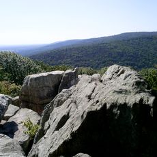
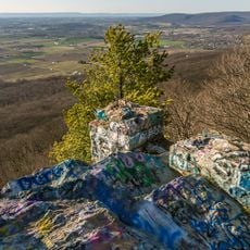
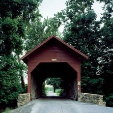
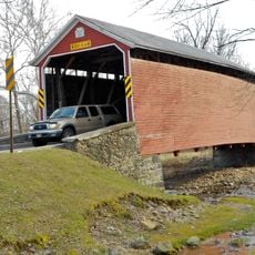
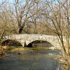
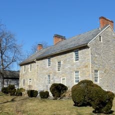
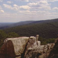
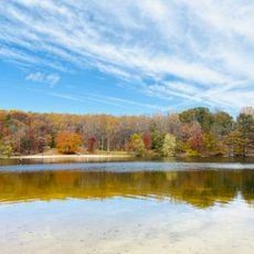
Blue Ridge Summit is an unincorporated community in Franklin County, Pennsylvania, situated in the foothills of the Appalachian Mountains. The area sits at an elevation of around 1,300 feet and features rolling, forested terrain typical of this region.

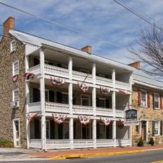
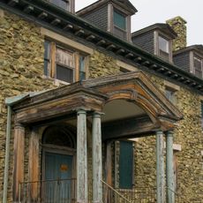
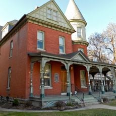
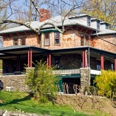
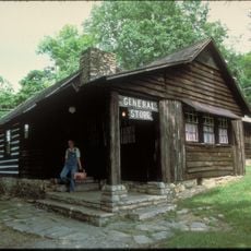
Railroad service arrived in 1872, transforming the location into a resort destination with boarding houses for summer visitors. This connection made the mountainous area easily accessible to travelers from nearby cities.

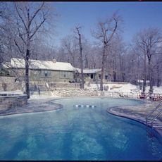
The Monterey Country Club emerged from former swampland to become a recreational center frequented by Presidents Wilson and Eisenhower.

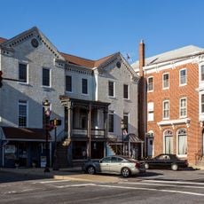
The location is best reached by personal vehicle, as public transportation options are limited in this area. Nearby towns and cities provide access to shops and services for visitors who need additional resources.

An underground government facility nearby, known as Site R, served as a command bunker for national emergency operations during the Cold War. This secret installation made the area a strategic point in American defense infrastructure.

The community of curious travelers

AroundUs brings together thousands of curated places, local tips, and hidden gems, enriched daily by 60,000 contributors worldwide.

Start exploring
Location
GPS coordinates
39.72417,-77.47139
Latest update
December 20, 2025 13:08
Around this place
Camp David
United States of America

Camp David

8.5 km
Catoctin Mountain
United States of America

Catoctin Mountain

8.4 km
National Shrine of St. Elizabeth Ann Seton
United States of America

National Shrine of St. Elizabeth Ann Seton

12.4 km
Quirauk Mountain
United States of America

Quirauk Mountain

4.7 km
Camp Misty Mount Historic District
United States of America

Camp Misty Mount Historic District

9.4 km
Camp Greentop Historic District
United States of America

Camp Greentop Historic District

8.9 km
Alexander Hamilton House
United States of America

Alexander Hamilton House

9.6 km
Fairfield Inn
United States of America

Fairfield Inn

11.3 km
Roddy Road Covered Bridge
United States of America

Roddy Road Covered Bridge

11.4 km
Victor Cullen Center, Old Administration Building
United States of America

Victor Cullen Center, Old Administration Building

1.9 km
Jacks Mountain Covered Bridge
United States of America

Jacks Mountain Covered Bridge

8.7 km
Welty's Mill Bridge
United States of America

Welty's Mill Bridge

8.8 km
Monterey Historic District
United States of America

Monterey Historic District

1.3 km
Borough Hall of the Borough of Waynesboro
United States of America

Borough Hall of the Borough of Waynesboro

9.6 km
Fairfield Historic District
United States of America

Fairfield Historic District

11.6 km
Royer-Nicodemus House and Farm
United States of America

Royer-Nicodemus House and Farm

8.1 km
Emmitsburg Historic District
United States of America

Emmitsburg Historic District

12.5 km
Victor Cullen School Power House
United States of America

Victor Cullen School Power House

1.4 km
Jeremiah Burns Farm
United States of America

Jeremiah Burns Farm

6.8 km
Joseph J. Oller House
United States of America

Joseph J. Oller House

10.1 km
Tipahato
United States of America

Tipahato

2.7 km
Handycraft Farmstead
United States of America

Handycraft Farmstead

6.9 km
Renfrew Museum and Park
United States of America

Renfrew Museum and Park

7.9 km
Catoctin Mountain Park Visitor Center
United States of America

Catoctin Mountain Park Visitor Center

10.2 km
Chimney Rock
United States of America

Chimney Rock

11 km
South Beach
United States of America

South Beach

10.8 km
Mt. Moriah Lutheran Church
United States of America

Mt. Moriah Lutheran Church

8.7 km
Catoctin Mountain Park Resource Management Office
United States of America

Catoctin Mountain Park Resource Management Office

8.9 km
Show the full map
Reviews
Share your experience

No review yet

Discussions
Start a discussion...

No discussion yet

« Blue Ridge Summit - Mountain community in Franklin County, Pennsylvania » is provided by Around Us (aroundus.com). Images and texts are derived from Wikimedia project under a Creative Commons license. You are allowed to copy, distribute, and modify copies of this page, under the conditions set by the license, as long as this note is clearly visible.

Discover hidden gems everywhere you go!

From secret cafés to breathtaking viewpoints, skip the crowded tourist spots and find places that match your style. Our app makes it easy with voice search, smart filtering, route optimization, and insider tips from travelers worldwide. Download now for the complete mobile experience.

Around Us App Screenshot

A unique approach to discovering new places

Le Figaro

All the places worth exploring

France Info

A tailor-made excursion in just a few clicks

20 Minutes

Around Us
Travel Guide & Maps
Download

Send to your phone

QR Code
1

Open the camera app on your mobile.

2

Point at the QR code with your camera. A notification will appear.

3

Tap the notification to open the link.