Bloomingdale Line, Elevated public park in Northwest Chicago, United States.
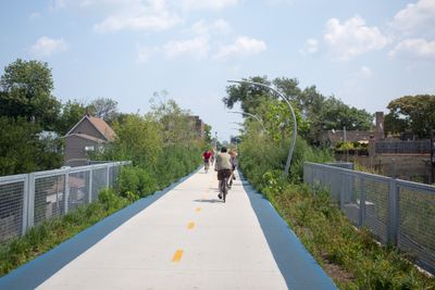
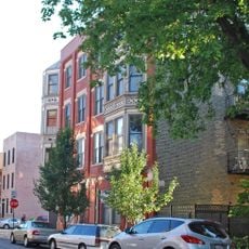
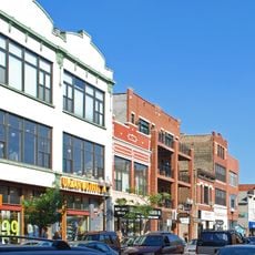
The Bloomingdale Line is an elevated park stretching about 2.7 miles through northwest Chicago neighborhoods, keeping pedestrians, cyclists, and runners above street level. The path weaves through four communities, offering views of buildings, street life, and local businesses below.
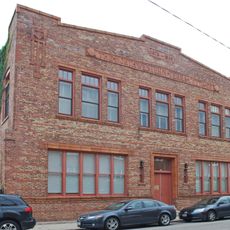
The structure was built in 1873 to carry freight trains but became unused in recent decades as shipping patterns changed. In 2015, the city completed a major renovation to convert it into a public gathering space.
Artworks from neighborhood artists line the walkway, telling stories of the communities below. These pieces change over time, giving the path a living quality that shifts with the seasons and local initiatives.
Entry points are located at Western Avenue, Milwaukee Avenue, and Damen Avenue, with stairs and lifts bringing you to the elevated level. The path is open from sunrise to sunset and works best in dry weather.
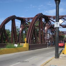
Thirteen bridges cross over major streets, allowing an unbroken path above traffic and ground-level obstacles. This layout makes it possible to walk through several neighborhoods without stepping down to street level.
The community of curious travelers
AroundUs brings together thousands of curated places, local tips, and hidden gems, enriched daily by 60,000 contributors worldwide.