Enable Location

We need your location to show you interesting places around you

Discover nearby places

Find interesting locations and hidden gems around you

Precise directions

Get accurate directions and distances to places

Your location is never shared with other users. It's only used when you tap the location button.

Log in to your account

Start exploring — it's free

Trusted by 68,528 travelers worldwide

Continue with Google
Continue with Apple
or

We will send you a code to connect

By continuing, you accept our Terms and Conditions and our Privacy Policy

Check your inbox

We've sent a pincode in your inbox. Please enter the code below.

Brooklyn–Queens Greenway
Discussion Reviews Photo
4.6k Popularity

Brooklyn–Queens Greenway, Urban park network in Brooklyn and Queens, United States

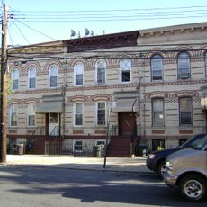
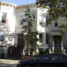
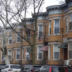
The Brooklyn-Queens Greenway is a system of parks and car-free paths that winds through residential neighborhoods and natural areas across two boroughs. Multiple routes branch out to connect different communities, making it possible to travel through the city while staying off regular streets.

This path system emerged from efforts to create safe routes for pedestrians and cyclists crossing the outer boroughs. Parts of its alignment follow land where an early 20th-century automobile highway once ran.

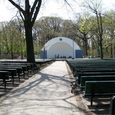
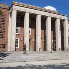
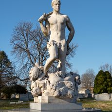
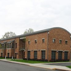
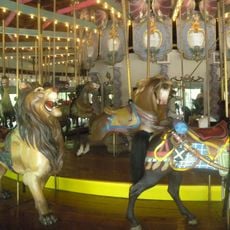
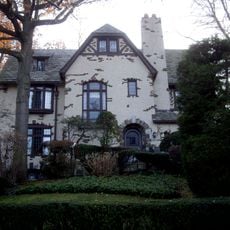
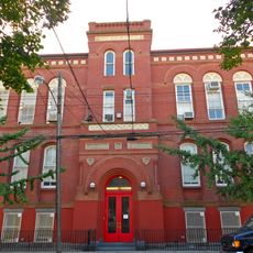
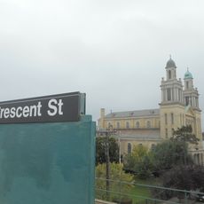
The greenway passes by museums, gardens, and science centers that shape how people experience the neighborhoods along the route. These cultural spaces are woven into the surrounding communities rather than isolated destinations.

The path can be accessed from multiple neighborhoods without needing to cross busy roads, and clear markings help you stay on track. Weather conditions affect the walking surface, so dry days offer the most comfortable experience.

Some sections of this route sit on land where an early automobile highway once carried cars between the boroughs. Today the same ground serves walkers and cyclists instead of vehicles.

The community of curious travelers

AroundUs brings together thousands of curated places, local tips, and hidden gems, enriched daily by 60,000 contributors worldwide.

Start exploring
Location
GPS coordinates
40.69700,-73.86000
Latest update
December 10, 2025 20:07
Around this place
Forest Park
United States of America

Forest Park

1.4 km
Queens Borough Hall
United States of America

Queens Borough Hall

3.3 km
Civic Virtue Triumphant Over Unrighteousness
United States of America

Civic Virtue Triumphant Over Unrighteousness

3.2 km
75th Police Precinct Station House
United States of America

75th Police Precinct Station House

3.7 km
Maple Grove Cemetery
United States of America

Maple Grove Cemetery

3.3 km
Forest Park Carousel
United States of America

Forest Park Carousel

465 m
United States of America

Union Course

881 m
Remsen Cemetery
United States of America

Remsen Cemetery

1.7 km
Ralph Johnson Bunche House
United States of America

Ralph Johnson Bunche House

2.2 km
Substation 401
United States of America

Substation 401

2.7 km
The Church-in-the-Gardens
United States of America

The Church-in-the-Gardens

2.8 km
Rego Park Jewish Center
United States of America

Rego Park Jewish Center

3.7 km
Public School 108
United States of America

Public School 108

2.7 km
St. Matthias Roman Catholic Church Complex
United States of America

St. Matthias Roman Catholic Church Complex

3.7 km
Public School 66
United States of America

Public School 66

1.2 km
Central Ridgewood Historic District
United States of America

Central Ridgewood Historic District

3.4 km
Richmond Hill Historic District
United States of America

Richmond Hill Historic District

2.2 km
Cooper Avenue Row Historic District
United States of America

Cooper Avenue Row Historic District

2.6 km
Public School 65K
United States of America

Public School 65K

2.2 km
Seneca Avenue East Historic District
United States of America

Seneca Avenue East Historic District

3.6 km
Summerfield Street Row Historic District
United States of America

Summerfield Street Row Historic District

3.1 km
Central Avenue Historic District
United States of America

Central Avenue Historic District

2.6 km
75th Avenue–61st Street Historic District
United States of America

75th Avenue–61st Street Historic District

2.9 km
68th Avenue–64th Place Historic District
United States of America

68th Avenue–64th Place Historic District

3.1 km
Madison-Putnam-60th Place Historic District
United States of America

Madison-Putnam-60th Place Historic District

3.7 km
Fresh Pond-Traffic Historic District
United States of America

Fresh Pond-Traffic Historic District

3.4 km
Forest-Norman Historic District
United States of America

Forest-Norman Historic District

3.3 km
Blessed Sacrament Church
United States of America

Blessed Sacrament Church

1.9 km
Show the full map
Reviews
Share your experience

No review yet

Discussions
Start a discussion...

No discussion yet

« Brooklyn–Queens Greenway - Urban park network in Brooklyn and Queens, United States » is provided by Around Us (aroundus.com). Images and texts are derived from Wikimedia project under a Creative Commons license. You are allowed to copy, distribute, and modify copies of this page, under the conditions set by the license, as long as this note is clearly visible.

Discover hidden gems everywhere you go!

From secret cafés to breathtaking viewpoints, skip the crowded tourist spots and find places that match your style. Our app makes it easy with voice search, smart filtering, route optimization, and insider tips from travelers worldwide. Download now for the complete mobile experience.

Around Us App Screenshot

A unique approach to discovering new places

Le Figaro

All the places worth exploring

France Info

A tailor-made excursion in just a few clicks

20 Minutes

Around Us
Travel Guide & Maps
Download

Send to your phone

QR Code
1

Open the camera app on your mobile.

2

Point at the QR code with your camera. A notification will appear.

3

Tap the notification to open the link.