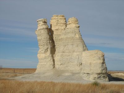
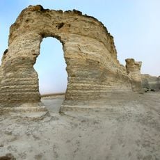
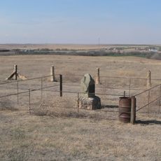
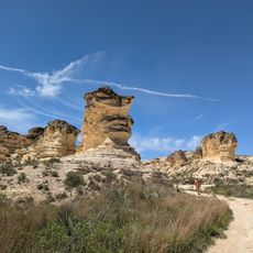
Castle Rock, Chalk landform in Gove County, Kansas.
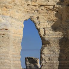
Castle Rock is a chalk landform in Gove County that rises about 70 feet above the surrounding Kansas plains through natural erosion spanning millions of years. The formation displays distinctive limestone spires and ridges carved from soft sediment by persistent wind and water action.
This chalk formation developed millions of years ago when the region lay beneath a shallow sea, then was carved into its present shape by ongoing erosion. During the 1800s, westbound travelers and explorers relied on it as a key landmark to guide them across the empty plains.
Native American tribes utilized Castle Rock as a primary reference point for navigation across the vast prairies of the Great Plains region.
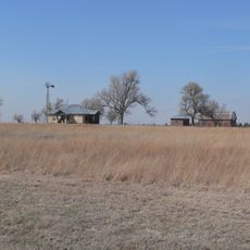
Spring through fall offers the most comfortable conditions for visiting, with mild weather and clearer roads for access. The location is remote and far from town services, so bring supplies and check local road conditions before heading out.
A severe thunderstorm in 2001 toppled the tallest spire, permanently reshaping this formation in a single dramatic event. This incident demonstrates how quickly natural forces can alter even long-standing landmarks.
The community of curious travelers
AroundUs brings together thousands of curated places, local tips, and hidden gems, enriched daily by 60,000 contributors worldwide.