Chest opened
+${chestReward.xp} XP
Explorer
NOUVEAU ×${chestReward.collectible.quantity}
tapez pour fermer
Chest locked

Open chests in the app

Around Us is built for your phone — chests unlock when you walk, explore and capture nearby places.

Enable Location

We need your location to show you interesting places around you

Discover nearby places

Find interesting locations and hidden gems around you

Precise directions

Get accurate directions and distances to places

Your location is never shared with other users. It's only used when you tap the location button.

Log in to your account

Start exploring — it's free

Trusted by 73,067 travelers worldwide

Continue with Google
Continue with Apple
or

We will send you a code to connect

By continuing, you accept our Terms and Conditions and our Privacy Policy

Check your inbox

We've sent a pincode in your inbox. Please enter the code below.

Connecticut's 1st congressional district
Discussion Reviews Photo
16.8k Popularity

Connecticut's 1st congressional district, Congressional district in north-central Connecticut, US

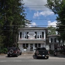
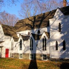
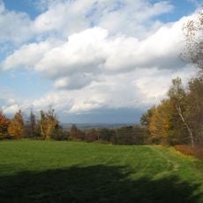
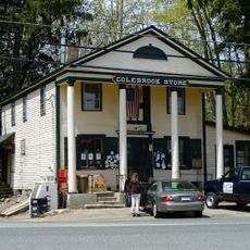
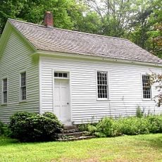
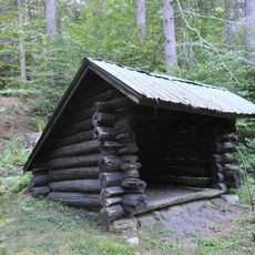
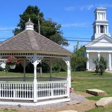
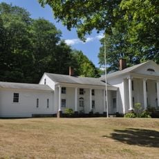
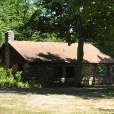
Connecticut's 1st congressional district covers parts of Hartford, Litchfield, and Middlesex counties and includes multiple municipalities across the region. The area blends urban centers with smaller communities within a connected landscape.

The district was established in 1837 and shifted between Democratic and Republican control through its early decades. Since 1957, it has been represented continuously by Democrats.

The population of 716,454 residents represents a mix of communities with 57% White, 17.8% Hispanic, 14.8% Black, and 5.9% Asian demographics.

Voters find polling locations spread across 27 municipalities throughout the district. Registration is open to anyone meeting the state's eligibility requirements.

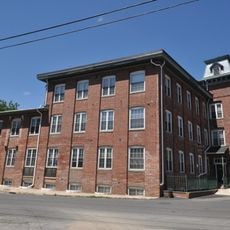
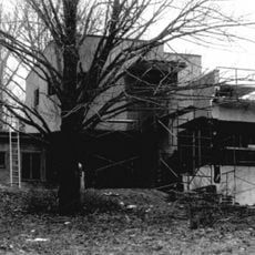
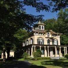
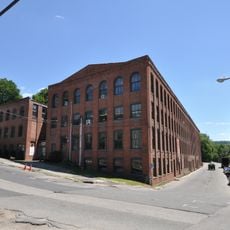
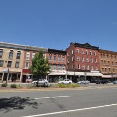
The district has deep roots in manufacturing and industry, particularly in Hartford where storied factories shaped its economic growth. This industrial heritage left lasting marks on how the communities developed and what they became.

The community of curious travelers

AroundUs brings together thousands of curated places, local tips, and hidden gems, enriched daily by 60,000 contributors worldwide.

Start exploring
Location
GPS coordinates
41.92861,-73.01750
Latest update
December 7, 2025 19:26
Around this place
Satan's Kingdom State Recreation Area
United States of America

Satan's Kingdom State Recreation Area

9.5 km
Gilbert Clock Factory
United States of America

Gilbert Clock Factory

3.4 km
Burr Pond State Park
United States of America

Burr Pond State Park

9.2 km
Riverton Historic District
United States of America

Riverton Historic District

3.6 km
Peoples State Forest
United States of America

Peoples State Forest

8.6 km
Pine Meadow Historic District
United States of America

Pine Meadow Historic District

7.2 km
Nepaug State Forest
United States of America

Nepaug State Forest

11.3 km
Tunxis State Forest
United States of America

Tunxis State Forest

11.2 km
American Legion State Forest
United States of America

American Legion State Forest

1 km
American Legion State Forest Trails
United States of America

American Legion State Forest Trails

727 m
Platt Hill State Park
United States of America

Platt Hill State Park

8.1 km
Sun Terrace
United States of America

Sun Terrace

8.3 km
Colebrook Store
United States of America

Colebrook Store

9.4 km
Barkhamsted Center Historic District
United States of America

Barkhamsted Center Historic District

4.2 km
Philip Chapin House
United States of America

Philip Chapin House

7.2 km
Paugnut State Forest
United States of America

Paugnut State Forest

10.7 km
Peoples State Forest Nature Museum
United States of America

Peoples State Forest Nature Museum

1.8 km
Gillette's Grist Mill
United States of America

Gillette's Grist Mill

10.1 km
Tunxis Forest Ski Cabin
United States of America

Tunxis Forest Ski Cabin

11.5 km
William Moore Jr. House
United States of America

William Moore Jr. House

3.8 km
Esperanza
United States of America

Esperanza

8.1 km
Union Church/St. Paul's Church
United States of America

Union Church/St. Paul's Church

3.7 km
American Legion Forest CCC Shelter
United States of America

American Legion Forest CCC Shelter

1.1 km
Winsted Green Historic District
United States of America

Winsted Green Historic District

3.7 km
Solomon Rockwell House
United States of America

Solomon Rockwell House

5.1 km
Winsted Hosiery Mill
United States of America

Winsted Hosiery Mill

3.5 km
Paugnut State Forest Administration Building
United States of America

Paugnut State Forest Administration Building

9 km
West End Commercial District
United States of America

West End Commercial District

4.6 km
Show the full map
Reviews
Share your experience

No review yet

Discussions
Start a discussion...

No discussion yet

« Connecticut's 1st congressional district - Congressional district in north-central Connecticut, US » is provided by Around Us (aroundus.com). Images and texts are derived from Wikimedia project under a Creative Commons license. You are allowed to copy, distribute, and modify copies of this page, under the conditions set by the license, as long as this note is clearly visible.

Discover hidden gems everywhere you go!

From secret cafés to breathtaking viewpoints, skip the crowded tourist spots and find places that match your style. Our app makes it easy with voice search, smart filtering, route optimization, and insider tips from travelers worldwide. Download now for the complete mobile experience.

Around Us App Screenshot

A unique approach to discovering new places

Le Figaro

All the places worth exploring

France Info

A tailor-made excursion in just a few clicks

20 Minutes

Around Us
Travel Guide & Maps
Download

Send to your phone

QR Code
1

Open the camera app on your mobile.

2

Point at the QR code with your camera. A notification will appear.

3

Tap the notification to open the link.