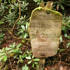
Ellicott's Rock, Survey marker at Chattooga River, United States.
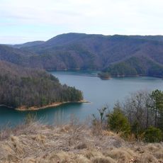
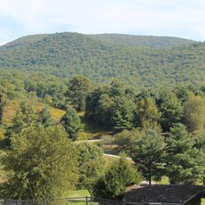
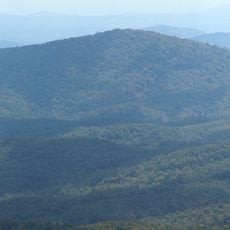
Ellicott's Rock is a stone marker on the Chattooga River with letters 'N-G' carved into it, marking where the borders of three states meet. The stone sits in a wilderness area that spans across three national forests in Georgia, North Carolina, and South Carolina.
Surveyor Andrew Ellicott placed this marker in 1811 to settle boundary disputes between Georgia and North Carolina. It was later registered as a historic place in 1973 and remains an officially recognized landmark.
The inscribed rock shows how surveyors marked territorial boundaries in the early American wilderness using simple stone markers. Visitors can see a physical reminder of how people solved the practical challenge of defining state lines across remote terrain.
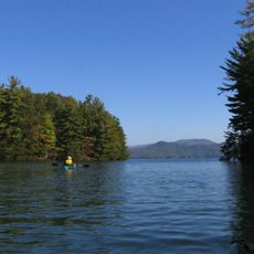
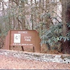
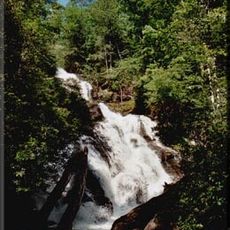
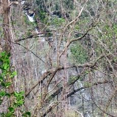
The marker is reached through hiking trails in the Ellicott Rock Wilderness, a remote area with no developed facilities. Visitors should bring proper footwear and be prepared for an extended walk through wooded terrain.
The stone Ellicott placed contains measurement errors and does not precisely mark the intended latitude line. A nearby stone called Commissioners Rock has the same issue, showing the challenges early surveyors faced in this mountainous region.
The community of curious travelers
AroundUs brings together thousands of curated places, local tips, and hidden gems, enriched daily by 60,000 contributors worldwide.