
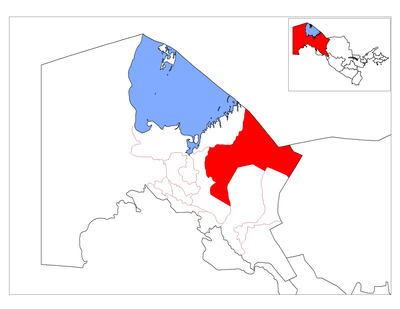
Taxtako‘pir District, district in Uzbekistan
Location: Karakalpakstan
Inception: 1930
Capital city: Taxtako‘pir
Elevation above the sea: 65 m
Shares border with: Moynaq district, Qorao‘zak District, Beruniy District, Ellikqala District
GPS coordinates: 43.02250,60.28861
Latest update: March 20, 2025 06:20
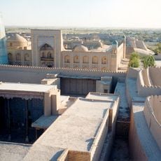
Itchan Kala
183.1 km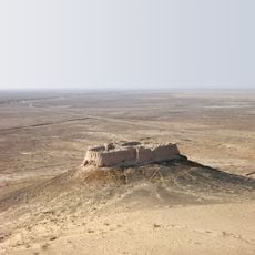
Kyzyl-Kala
128.2 km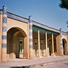
Nurullabay's palace
182.7 km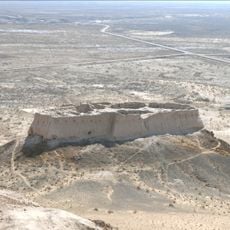
Ayaz-Kala
128 km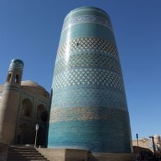
Kalta Minor
183.1 km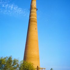
Kutlug Timur Minaret
123 km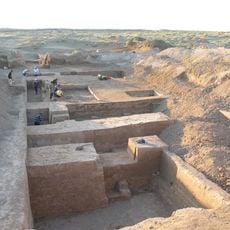
Akchakhan-Kala
137.6 km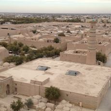
Khiva Friday Mosque
183.2 km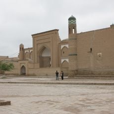
Arab Mohammed Khan Madrassah
183.1 km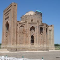
Turabek Khanum Mausoleum
123.1 km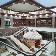
State Museum of History and Culture of Karakalpakstan
83.4 km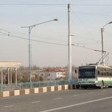
Trolleybuses in Urgench
166.4 km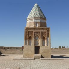
Il Arslan Mausoleum
123.1 km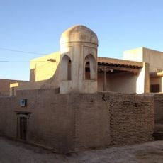
Hasanmurod Qushbegi mosque
183.1 km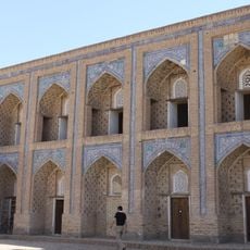
Mohammed Rahim Khan madrasa
183.1 km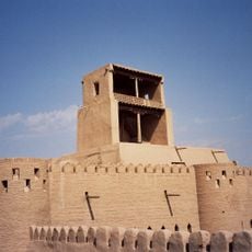
Konya Ark
183.1 km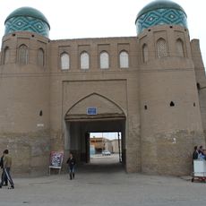
Itchan Kala north gate
182.8 km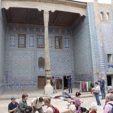
Tach Khaouli
183.1 km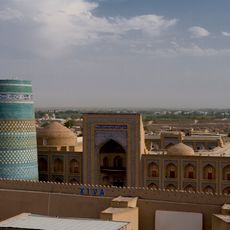
Muhammad Amin Khan Madrasa
183.1 km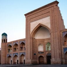
Koutloug Mourad Inak madrasa
183.2 km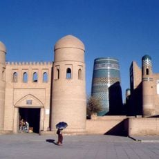
Ota darvoza
183.1 km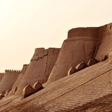
Itchan Kala gates and wall
182.8 km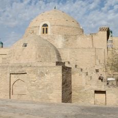
Sayid Alaouddine mausoleum
183.2 km
Badai Tugai Nature Reserve
113.5 km
Daşoguz Mosque
135.2 km
Yangibozor natural monument
140 km
Avesta monument
166.6 km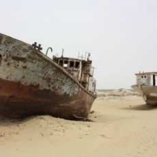
Moynaq ship graveyard
139.6 kmReviews
Visited this place? Tap the stars to rate it and share your experience / photos with the community! Try now! You can cancel it anytime.
Discover hidden gems everywhere you go!
From secret cafés to breathtaking viewpoints, skip the crowded tourist spots and find places that match your style. Our app makes it easy with voice search, smart filtering, route optimization, and insider tips from travelers worldwide. Download now for the complete mobile experience.

A unique approach to discovering new places❞
— Le Figaro
All the places worth exploring❞
— France Info
A tailor-made excursion in just a few clicks❞
— 20 Minutes