Municipio Bejuma, Administrative division in Carabobo State, Venezuela
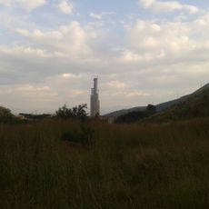
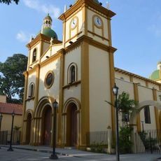
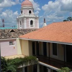
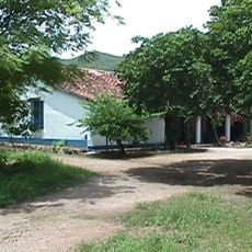
Bejuma Municipality is an administrative division in Carabobo State that covers a region of rolling terrain organized into three parishes: Bejuma, Canoabo, and Simón Bolívar. The town of Bejuma serves as the administrative center and is situated in a valley surrounded by mountainous landscape.
Bejuma underwent significant administrative reorganization during Venezuela's restructuring in the late 1800s as governance patterns shifted across the region. These changes shaped the current division into three parishes.
The three parishes of Bejuma Municipality maintain distinct local identities while operating under a unified administrative structure within the Carabobo region.
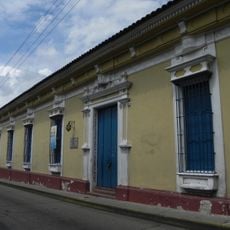
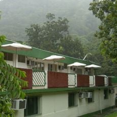
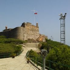
The region is characterized by mountainous terrain, so certain areas may be less accessible during rainy seasons. Most administrative matters are centered in the town of Bejuma as the primary hub.
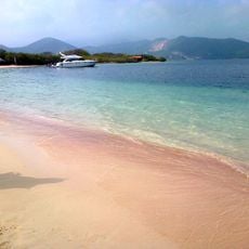
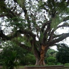
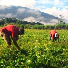
The area sits within tropical forest zones of the coastal mountain range and is covered by dense green vegetation that gives the region a distinctive look. This natural environment shapes the climate and living conditions across Bejuma.
GPS coordinates: 10.22585,-68.20038
Latest update: December 7, 2025 20:23
Arco del triunfo de carabobo
24.7 km
San Esteban National Park
30.3 km
Solano castle
33.1 km
San Felipe Castle
35.5 km
Isla Larga
40.5 km
Isla Multiespacio
25.9 km
Patanemo Bay
39.5 km
Valencia's Aquarium
21.1 km
Parque Negra Hipólita
21.6 km
Teatro Municipal de Valencia
21.8 km
Hipolita Bolívar and Fernando Peñalver Park
21.8 km
Exotic Tropical Flora Park
55.9 km
Altar de la Patria
25 km
Cathedral Basilica of Our Lady of Help
22.2 km
Ateneo de Valencia
21.8 km
Templo Parroquial Nuestra Señora de Begoña Naguanagua
20.8 km
Museo Casa de los Celis
21.7 km
Arco de Taguanes
33.4 km
Isla del Rey
37.7 km
St. Francis Convent
21.9 km
Naguanagua Botanical Garden
20.9 km
St. Joseph's Cathedral, Puerto Cabello
35 km
Hacienda Mozanga
30.9 km
Cumbre de Chirgua
11.4 km
Phare de Fortin Solano
33.1 km
Cumbre Pica de los Silva
12.8 km
Petroglyphs of Vigirima
34.9 km
Fortín Solano
33.1 kmVisited this place? Tap the stars to rate it and share your experience / photos with the community! Try now! You can cancel it anytime.
Discover hidden gems everywhere you go!
From secret cafés to breathtaking viewpoints, skip the crowded tourist spots and find places that match your style. Our app makes it easy with voice search, smart filtering, route optimization, and insider tips from travelers worldwide. Download now for the complete mobile experience.
A unique approach to discovering new places❞
— Le Figaro
All the places worth exploring❞
— France Info
A tailor-made excursion in just a few clicks❞
— 20 Minutes