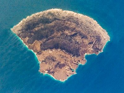
Blanquilla Island, Caribbean island in Federal Dependencies, Venezuela.
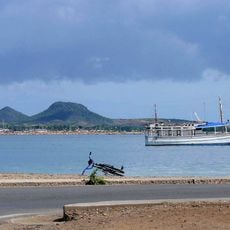
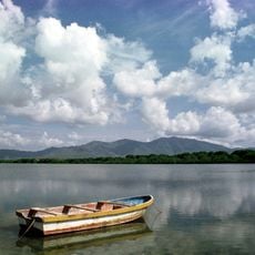
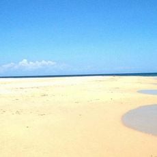
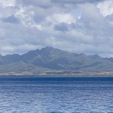
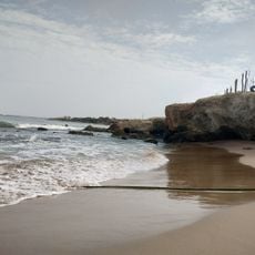
Blanquilla Island is a Caribbean island in the Federal Dependencies of Venezuela composed of limestone with white sand beaches and coral reefs fringing the entire coastline. The island covers approximately 64 square kilometers and remains unpopulated except for occasional visitors and seasonal fishing activity.
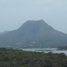
The island formed through geological processes along the Aves Ridge, an underwater mountain range that created a chain of elevated landmasses in the southeastern Caribbean Sea. This formation millions of years ago shaped the entire island group of the Federal Dependencies.
Local fishermen maintain traditional fishing practices in the waters surrounding the island, exchanging fresh catches with visitors for basic supplies.
Visitors must charter boats from nearby locations since there are no airports or regular transportation services to reach the island. Plan for a boat journey and come prepared for limited facilities once you arrive.
The island holds black coral formations used in regional jewelry-making, visible in shallow waters to divers and snorkelers. Feral donkeys and goats roam the terrain freely, a surprising sight on a Caribbean island with no human settlement.
The community of curious travelers
AroundUs brings together thousands of curated places, local tips, and hidden gems, enriched daily by 60,000 contributors worldwide.