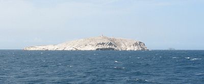
Federal Dependencies, Administrative territory off Caribbean coast, Venezuela.
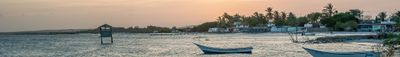
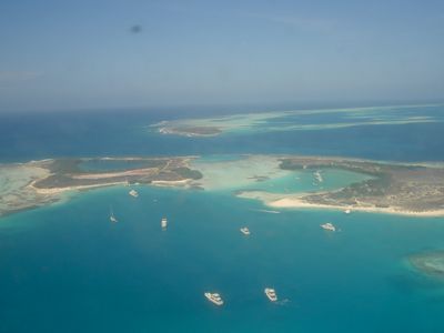
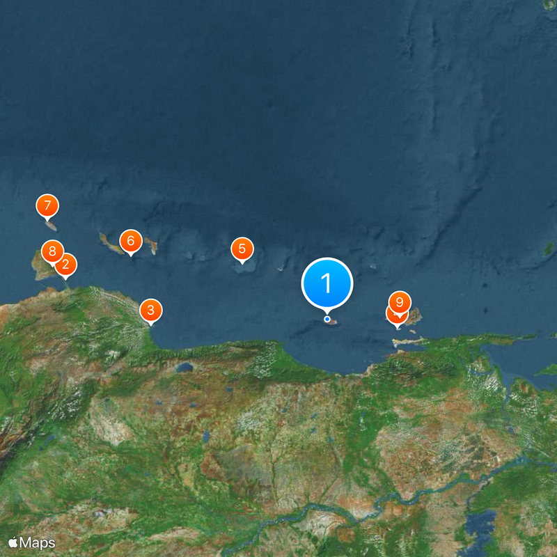
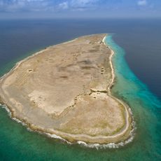
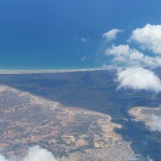
The Federal Dependencies form an administrative territory off the Caribbean coast of Venezuela, covering dozens of small islands and coral reefs. The islands spread across a long coastal stretch and lie both in the open Caribbean Sea and the western gulf.
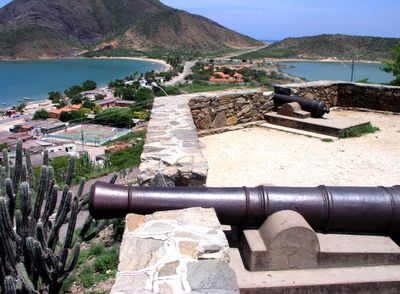
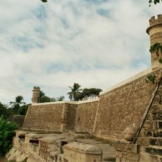
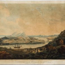
Indigenous groups used the islands for centuries as fishing stations and salt collection sites before European ships arrived in the 16th century. The Venezuelan government took direct control of the scattered islands in the 20th century and created a special administrative territory.
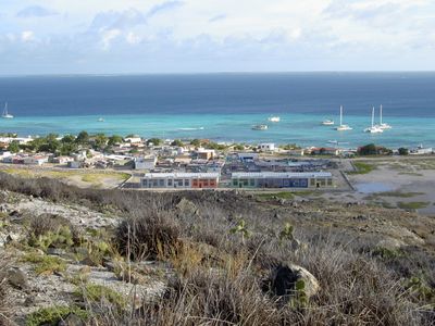
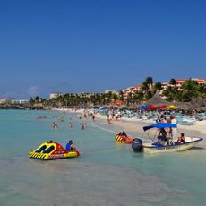
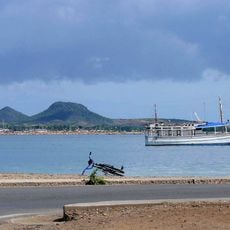
The name reflects the governance structure under direct federal oversight, distinct from ordinary states in the national system. The small number of permanent residents mostly work in fishing and lead lives closely tied to tides and ocean currents.
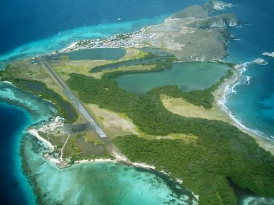
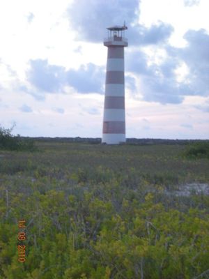
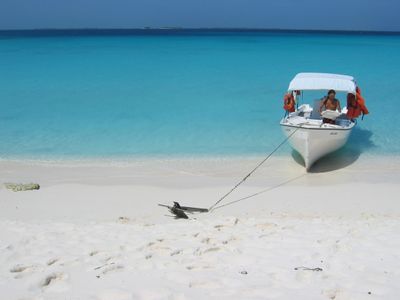
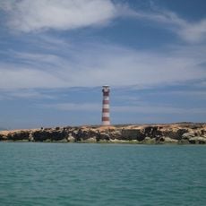
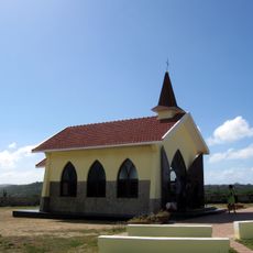
Access to most islands requires travel by boat or small aircraft, with connections varying by weather and wave conditions. Visitors should note that many islands remain uninhabited and offer limited facilities.
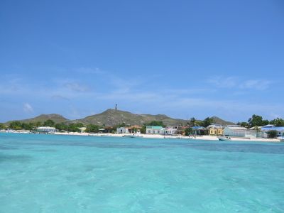
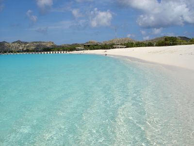
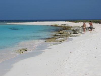
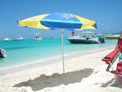
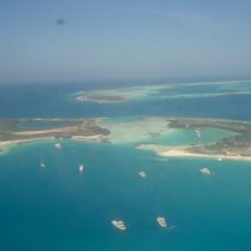
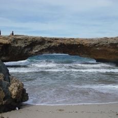
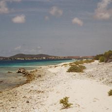
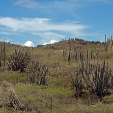
Some of the reefs form shallow lagoons with turquoise water that turn into natural swimming pools at low tide. The salt-rich soils on certain islands still show white deposits from earlier salt collection periods.
Location: Venezuela
Inception: 1945
Part of: Lesser Antilles, Leeward Antilles
GPS coordinates: 10.92982,-65.35696
Latest update: December 4, 2025 23:02
Mochima National Park
128.8 km
Cubagua
127.9 km
Laguna de La Restinga National Park
132.3 km
Tetas de Maria Guevara Natural Monument
135.1 km
Laguna de Tacarigua National Park
91.4 km
Castillo de Araya
126.6 km
Isla Paraíso
110.8 km
Fort of Magdalena Barcelona
106.8 km
Depresión de Unare
127.4 km
Playa Los Caracas
137.4 km
Sanctuary of Christ of Jose
105.8 km
St. Christopher's Cathedral
115.2 km
Castillo Santa María de la Cabeza
139.5 km
Playa Punta Arenas
104.1 km
Museo Gran Mariscal de Ayacucho
139.1 km
Catedral de Cumaná
139.3 km
Santa María de la Cabeza Castle
139.5 km
New Catalonia
114.8 km
Punta Charagato Lighthouse
131.6 km
Phare de Farallón Centinela
81.2 km
Chimana Segunda Lighthouse
108.5 km
Faro de la Isla La Tortuga (Cayo Herradura)
8.2 km
Macanao Wildlife Reserve
116.7 km
Cubagua Island Natural Reserve
129 km
Puerto Píritu Lighthouse
102.1 km
Edificio Turimiquire
138.2 km
Castillo de San Antonio
139.7 km
Playa de El Tunal
116.1 kmVisited this place? Tap the stars to rate it and share your experience / photos with the community! Try now! You can cancel it anytime.
Discover hidden gems everywhere you go!
From secret cafés to breathtaking viewpoints, skip the crowded tourist spots and find places that match your style. Our app makes it easy with voice search, smart filtering, route optimization, and insider tips from travelers worldwide. Download now for the complete mobile experience.
A unique approach to discovering new places❞
— Le Figaro
All the places worth exploring❞
— France Info
A tailor-made excursion in just a few clicks❞
— 20 Minutes