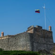
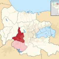
Municipio Libertador, Administrative division in Caracas, Venezuela
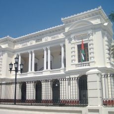
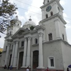
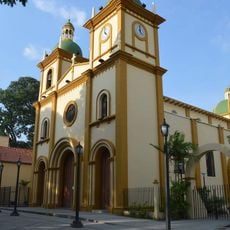
Municipio Libertador is an administrative division in Caracas that encompasses multiple city neighborhoods and districts. The municipality serves as the core of the capital and houses numerous public buildings and government centers that shape daily urban life.
The municipality was established in 1901 as an administrative unit in the Federal District and took its current form following the 1999 constitutional reform. This restructuring fundamentally changed how the capital was governed and organized.
The municipality houses major Venezuelan institutions, including the Central Bank of Venezuela and numerous governmental departments across its urban landscape.
The municipal administration offices are located in the downtown area and serve as the primary hub for public services. Visitors should note that many government buildings have limited public access during certain hours.
The municipality represents just 0.22 percent of Venezuela's territory but contains half of Caracas's total population, with a density of 4,816 people per square kilometer.
Location: Carabobo
Capital city: Tocuyito
Part of: Carabobo
Website: http://libertador-carabobo.gov.ve
GPS coordinates: 10.05611,-68.13583
Latest update: December 7, 2025 10:08
Arco del triunfo de carabobo
6.2 km
San Esteban National Park
41 km
Solano castle
47.1 km
San Felipe Castle
49.6 km
Isla Multiespacio
25.3 km
Patanemo Bay
50 km
Valencia's Aquarium
20.1 km
Parque Negra Hipólita
22.4 km
Teatro Municipal de Valencia
20 km
Hipolita Bolívar and Fernando Peñalver Park
22.1 km
Altar de la Patria
6.7 km
Güigüe Abbey
36.3 km
Cathedral Basilica of Our Lady of Help
20.3 km
Ateneo de Valencia
20.7 km
Templo Parroquial Nuestra Señora de Begoña Naguanagua
25.8 km
Museo Casa de los Celis
19.7 km
Arco de Taguanes
20.6 km
Isla del Rey (Venezuela)
51.4 km
St. Francis Convent
20 km
Naguanagua Botanical Garden
24.3 km
St. Joseph's Cathedral, Puerto Cabello
48.9 km
Camoruco railway station
21.2 km
Hacienda Mozanga
29.9 km
Cumbre de Chirgua
30.2 km
Phare de Fortin Solano
47.1 km
Cumbre Pica de los Silva
31.9 km
Petroglyphs of Vigirima
38.3 km
Fortín Solano
47.1 kmVisited this place? Tap the stars to rate it and share your experience / photos with the community! Try now! You can cancel it anytime.
Discover hidden gems everywhere you go!
From secret cafés to breathtaking viewpoints, skip the crowded tourist spots and find places that match your style. Our app makes it easy with voice search, smart filtering, route optimization, and insider tips from travelers worldwide. Download now for the complete mobile experience.
A unique approach to discovering new places❞
— Le Figaro
All the places worth exploring❞
— France Info
A tailor-made excursion in just a few clicks❞
— 20 Minutes