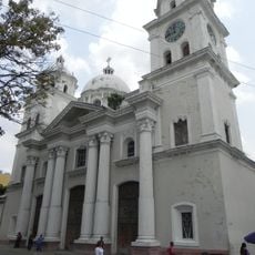
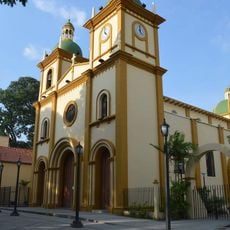
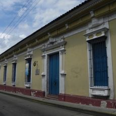
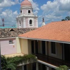
Municipio Miranda, Administrative division in central-northern Venezuela.
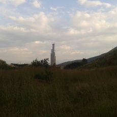
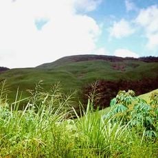
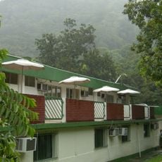
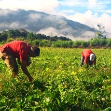
Municipio Miranda is an administrative region in Venezuela situated between two mountain ranges with varied topography. The territory encompasses coastal areas and highland zones across its expanse.
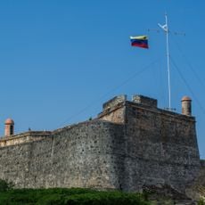
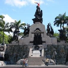
The region originated as part of the Province of Caracas during colonial times and was later reorganized. It became an independent state in 1889 and was named after independence leader Francisco de Miranda.
The Dancing Devils of Yare and the Palmeros of Chacao are two living traditions that visitors can witness during their celebrations. These practices continue to shape how locals mark important moments and express their heritage.
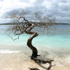
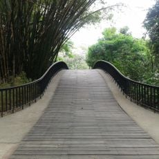
Visitors can explore diverse landscapes with beaches along the coast and mountain regions inland. The best time to visit depends on which areas you want to experience and what activities interest you.
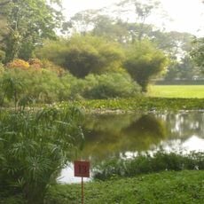
The region features numerous beaches dotting its coastline alongside diverse mountain ecosystems. This combination of coastal and highland environments creates strikingly different settings within the same area.
GPS coordinates: 10.10732,-68.35417
Latest update: December 8, 2025 13:42
Arco del triunfo de carabobo
23.7 km
San Esteban National Park
51.7 km
Solano castle
54.1 km
Yurubí National Park
53.2 km
Isla Multiespacio
44.1 km
Valencia's Aquarium
38.7 km
Parque Negra Hipólita
40.1 km
Cumaripa Reservoir Recreational Park
50.8 km
Teatro Municipal de Valencia
39 km
Hipolita Bolívar and Fernando Peñalver Park
40 km
Exotic Tropical Flora Park
45.5 km
Tirgua National Park
43.7 km
Altar de la Patria
23.6 km
Cathedral Basilica of Our Lady of Help
39.4 km
San Carlos Circuit
54 km
Ateneo de Valencia
39.4 km
La Blanquera
56.2 km
Templo Parroquial Nuestra Señora de Begoña Naguanagua
40.8 km
Museo Casa de los Celis
38.8 km
Arco de Taguanes
20.8 km
St. Francis Convent
39.1 km
Cathedral of the Immaculate Conception
56 km
Naguanagua Botanical Garden
40.3 km
Catedral de San Felipe
49.3 km
Hacienda Mozanga
49.3 km
Cumbre de Chirgua
31.2 km
Phare de Fortin Solano
54.1 km
Cumbre Pica de los Silva
32 kmVisited this place? Tap the stars to rate it and share your experience / photos with the community! Try now! You can cancel it anytime.
Discover hidden gems everywhere you go!
From secret cafés to breathtaking viewpoints, skip the crowded tourist spots and find places that match your style. Our app makes it easy with voice search, smart filtering, route optimization, and insider tips from travelers worldwide. Download now for the complete mobile experience.
A unique approach to discovering new places❞
— Le Figaro
All the places worth exploring❞
— France Info
A tailor-made excursion in just a few clicks❞
— 20 Minutes