El Dorado, Administrative division in Bolívar state, Venezuela.
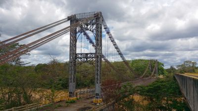
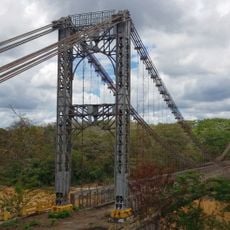
El Dorado is a town in southeastern Bolívar that sits at the crossroads of several important transportation routes. It functions as a hub where buses and freight services connect different regions of the state.
The settlement developed during Venezuela's period of resource exploration, taking its name from the legendary golden city that Spanish conquerors sought. This naming reflects the hopes explorers held for the region.
Weekly markets bring residents together to buy and sell regional products and handmade goods that reflect local traditions. These gathering places remain central to how the community connects and shares resources.
The town has hospitals, schools, and connections to larger cities in the region. Travelers passing through should ask about current schedules when they arrive, as transportation options vary throughout the day.
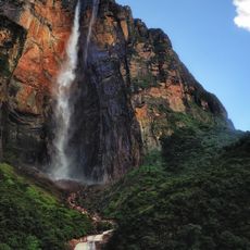
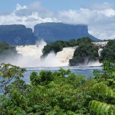
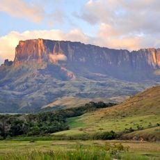
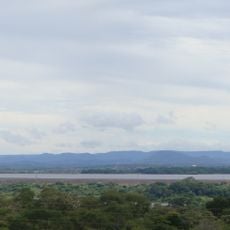
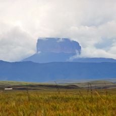
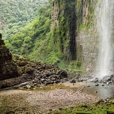
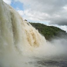
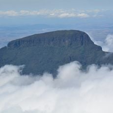
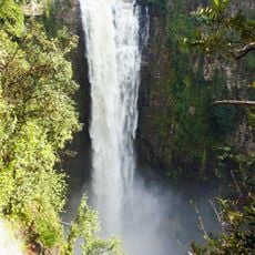
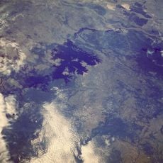
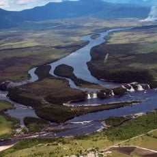
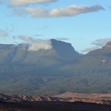
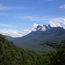
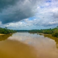
The area serves as a vantage point for studying the different ecosystems of southeastern Venezuela. Visitors and researchers can observe varied landscape types of the region from this location.
Location: Bolívar
GPS coordinates: 6.71505,-61.63725
Latest update: December 6, 2025 16:03
Venezuela contains places away from standard tourist routes. The Andes hold waterfalls and colonial towns with long histories. The coast features remote beaches and islands with clear waters. Inland areas have caves, rock carvings, and nature reserves. The country experiences rare natural events,...
Angel Falls
129.6 km
Canaima National Park
144.3 km
Auyantepui
135 km
Kukenán-tepui
189.8 km
Imataca Forest Reserve
103.2 km
Ptari-tepui
107.3 km
Aponwao Falls
128.5 km
Cueva Charles Brewer - Carías
167.2 km
Salto Kamá
151.8 km
Ilú–Tramen Massif
161.7 km
King George VI Falls
128.2 km
Sapo Falls
142.4 km
Wadakapiapué-tepui
174.6 km
Aprada-tepui
170.7 km
Estación Terrena de Luepa
116.2 km
Karaurín-tepui
166.5 km
Kamarang Great Falls
132.7 km
Pacheco Waterfall
182.7 km
Yuruaní Falls
190.4 km
Guri Reservoir
189.9 km
Anatoly Island
143 km
Suspension bridge over Cuyuní river
3 km
Capilla de Santa Teresita
126.4 km
La Paragua Forest Reserve
151.2 km
Eastern Tepuis Natural Monument
175.1 km
San Pedro Forest Reserve
60.7 km
El Dorado - Tumeremo Forest Reserve
29.4 km
El Frio Forest Reserve
130.7 kmVisited this place? Tap the stars to rate it and share your experience / photos with the community! Try now! You can cancel it anytime.
Discover hidden gems everywhere you go!
From secret cafés to breathtaking viewpoints, skip the crowded tourist spots and find places that match your style. Our app makes it easy with voice search, smart filtering, route optimization, and insider tips from travelers worldwide. Download now for the complete mobile experience.
A unique approach to discovering new places❞
— Le Figaro
All the places worth exploring❞
— France Info
A tailor-made excursion in just a few clicks❞
— 20 Minutes