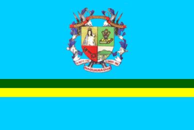
Municipio Naguanagua, Administrative division in Carabobo, Venezuela
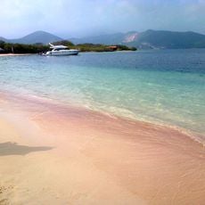
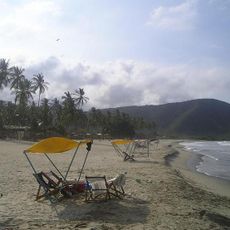
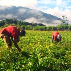
Municipio Naguanagua sits in the valley of the Cabriales River at the foot of Cerro El Café in Carabobo State. The area spans 168.2 square kilometers and combines natural geography with developed urban zones.
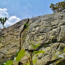
The name comes from Chief Nagoanagoa, who led the settlement before Spanish colonization began in 1547. Since then, the region has undergone significant changes in both geography and social structure.
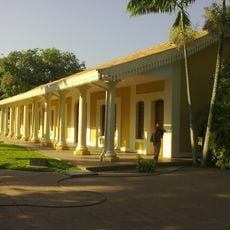
The University of Carabobo's main campus shapes daily life here and draws students and faculty from across the region. The campus presence gives the area an educational character that locals clearly notice.
University Avenue connects the area to Valencia and passes through several residential and commercial zones. This main route makes it easy for visitors to reach different parts of the municipality.
The area is divided into three parroquias: Naguanagua, Bárbula, and Las Trincheras, each handling different administrative responsibilities. This division shapes how local governance and services are organized across the territory.
The community of curious travelers
AroundUs brings together thousands of curated places, local tips, and hidden gems, enriched daily by 60,000 contributors worldwide.