Bình Phước

Log in to your account

AroundUs is a community-driven map of interesting places, built by curious explorers like you. It grows with every review, story, and photo you share.
Connect to save your favorite spots, contribute locations, and create personalized routes.
Continue with Google
Continue with Apple
Continue with X
Continue with Facebook
Continue with email
By continuing, you accept our Terms and Conditions and our Privacy Policy
Create an account

Bình Phước

Add to collection
Map
Suggest a change
Share

Bình Phước, Administrative province in southeastern Vietnam

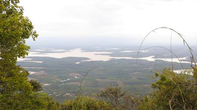
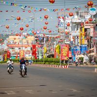
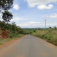
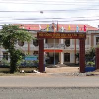
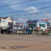
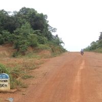
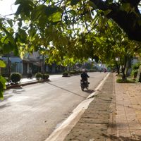
Bình Phước is an administrative unit in southeastern Vietnam that stretches across wide plains and gentle hills, consisting mainly of farmland and forested areas. The capital Đồng Xoài sits centrally and connects the eleven districts through a network of roads running through villages and plantations.

After the reunification of the country in 1976, former administrative areas were merged into Sông Bé before this unit was transformed into its current form in 1997. The founding followed a nationwide reform of administrative boundaries that reorganized several regions in the south.

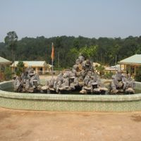
The area is known for its cashew plantations, which shape the land during harvest season and are processed in small workshops. Several minority groups have lived here for generations and maintain their languages and traditional celebrations, which visitors can experience during market visits.

The best travel period falls during the dry months between November and April, when roads are easier to navigate and outdoor activities become more comfortable. Buses connect the capital with surrounding districts, with early departures offering more flexibility for day trips.

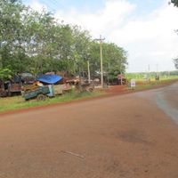
Rubber plantations cover large parts of the landscape and workers tap the bark early in the morning to collect latex in cups. Coffee plants grow under tall shade trees, while pepper vines climb wooden poles and are laid out in the sun to dry after harvest.

Location: Vietnam

Capital city: Đồng Xoài

Elevation above the sea: 153 m

Shares border with: Mondulkiri Province, Đồng Nai, Bình Dương, Tây Ninh, Đắk Nông, Kratié Province, Tbong Khmum Province, Lâm Đồng

Website: http://binhphuoc.gov.vn

GPS coordinates: 11.75000,106.91667

Latest update: December 15, 2025 05:03

Photos
Reviews

Visited this place? Tap the stars to rate it and share your experience / photos with the community! Try now! You can cancel it anytime.

« Bình Phước - Administrative province in southeastern Vietnam » is provided by Around Us (aroundus.com). Images and texts are derived from Wikimedia project under a Creative Commons license. You are allowed to copy, distribute, and modify copies of this page, under the conditions set by the license, as long as this note is clearly visible.

Discover hidden gems everywhere you go!

From secret cafés to breathtaking viewpoints, skip the crowded tourist spots and find places that match your style. Our app makes it easy with voice search, smart filtering, route optimization, and insider tips from travelers worldwide. Download now for the complete mobile experience.

Around Us App Screenshot

A unique approach to discovering new places

Le Figaro

All the places worth exploring

France Info

A tailor-made excursion in just a few clicks

20 Minutes