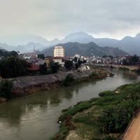
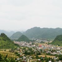
Hà Giang, Mountainous province in northeastern Vietnam.
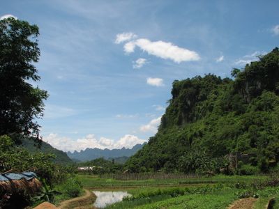
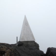
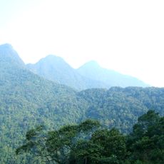
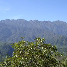
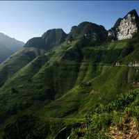
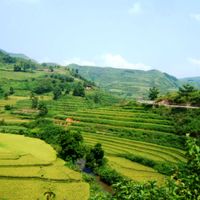
Hà Giang is a province in northeastern Vietnam that extends across limestone-rich mountain landscapes with deep valleys. The highest point sits at Tây Côn Lĩnh, a peak rising above 2400 meters (7900 feet), surrounded by terraced slopes and drifting mist.
French troops established a military outpost in the region in 1891, which later led to the founding of the province during colonial rule. The border location shaped trade and migration patterns among mountain groups for decades.
Street markets in mountain villages display textiles with geometric patterns, hand-dyed and woven, often in indigo and bright reds. Many families still wear traditional dress in daily life, with embroidered jackets and carefully wrapped headwear passed down through generations.
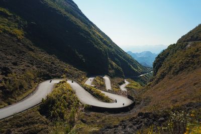
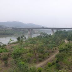
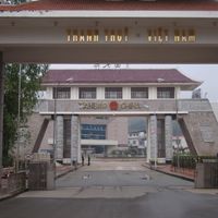
Highway 2 links the provincial capital with Hanoi over a route of about 320 kilometers (200 miles) that winds through switchbacks and mountain passes. Two border crossings to China at Thanh Thủy and Phó Bảng allow access from the north, though travelers need identification papers and permits.
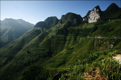
The Dong Van Karst Plateau displays wide limestone formations that hold fossils from the sea hundreds of millions of years ago. Farmers work cornfields and vegetable gardens on steep terraces carved directly from the porous rock.
The community of curious travelers
AroundUs brings together thousands of curated places, local tips, and hidden gems, enriched daily by 60,000 contributors worldwide.