Enable Location

We need your location to show you interesting places around you

Discover nearby places

Find interesting locations and hidden gems around you

Precise directions

Get accurate directions and distances to places

Your location is never shared with other users. It's only used when you tap the location button.

Thuận Thành

Log in to your account

Start exploring — it's free

Trusted by 62,377 travelers worldwide

Continue with Google
Continue with Apple
or

We will send you a code to connect

By continuing, you accept our Terms and Conditions and our Privacy Policy

Check your inbox

We've sent a pincode in your inbox. Please enter the code below.

Thuận Thành, Rural district in Bắc Ninh Province, Vietnam

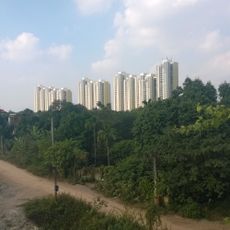
Thuận Thành is a district in Bắc Ninh Province located in the Red River Delta region with flat terrain and an area of about 118 square kilometers. The district consists of nineteen rural communes connected through a central town called Hồ.

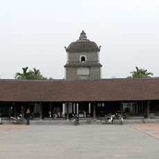
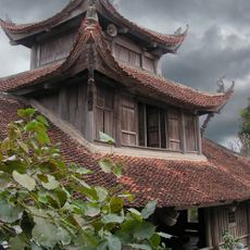
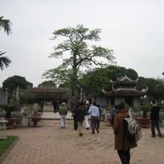
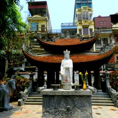
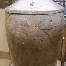
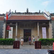
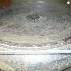
The area has been settled since ancient times and houses the 2nd-century Dâu Pagoda, an important Buddhist structure. This pagoda was built within the ancient citadel of Luy Lâu, a major historical center of the region.

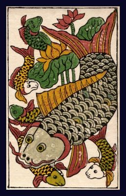
Đông Hồ village within the district is known for handmade woodcut prints produced in family workshops using traditional methods. Visitors can watch local artists create and sell these colorful prints on-site.

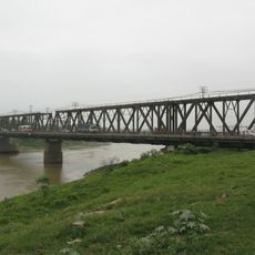
The district is connected to surrounding regions through an extensive road network and is easily accessible by car or bus. Most attractions and villages can be visited by vehicle or using local transport.

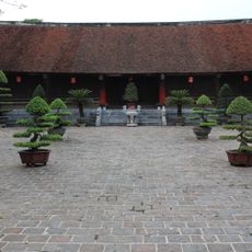
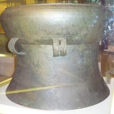
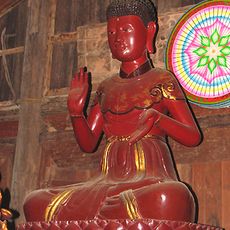
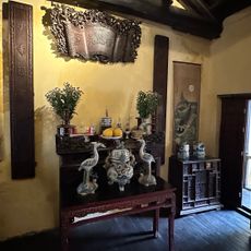
The Bút Tháp Temple houses a remarkable collection of carved wooden figures and statues from the 17th century, displaying regional craftsmanship. These carvings demonstrate the advanced artistic skills that have been preserved in this area for centuries.

The community of curious travelers

AroundUs brings together thousands of curated places, local tips, and hidden gems, enriched daily by 60,000 contributors worldwide.

Start exploring
Location
Elevation above the sea
4 m
GPS coordinates
21.04083,106.07528
Latest update
December 7, 2025 10:06
« Thuận Thành - Rural district in Bắc Ninh Province, Vietnam » is provided by Around Us (aroundus.com). Images and texts are derived from Wikimedia project under a Creative Commons license. You are allowed to copy, distribute, and modify copies of this page, under the conditions set by the license, as long as this note is clearly visible.

Discover hidden gems everywhere you go!

From secret cafés to breathtaking viewpoints, skip the crowded tourist spots and find places that match your style. Our app makes it easy with voice search, smart filtering, route optimization, and insider tips from travelers worldwide. Download now for the complete mobile experience.

Around Us App Screenshot

A unique approach to discovering new places

Le Figaro

All the places worth exploring

France Info

A tailor-made excursion in just a few clicks

20 Minutes

Around Us
Travel Guide & Maps
Download

Send to your phone

QR Code
1

Open the camera app on your mobile.

2

Point at the QR code with your camera. A notification will appear.

3

Tap the notification to open the link.