Enable Location

We need your location to show you interesting places around you

Discover nearby places

Find interesting locations and hidden gems around you

Precise directions

Get accurate directions and distances to places

Your location is never shared with other users. It's only used when you tap the location button.

Quan Hóa

Log in to your account

Start exploring — it's free

Trusted by 62,060 travelers worldwide

Continue with Google
Continue with Apple
or

We will send you a code to connect

By continuing, you accept our Terms and Conditions and our Privacy Policy

Check your inbox

We've sent a pincode in your inbox. Please enter the code below.

Quan Hóa

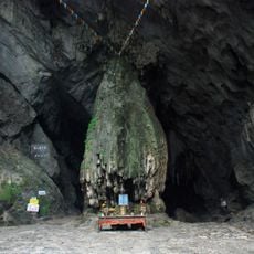
Quan Hóa, Rural district in Thanh Hóa Province, Vietnam

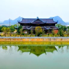
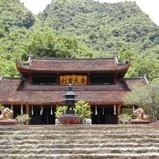
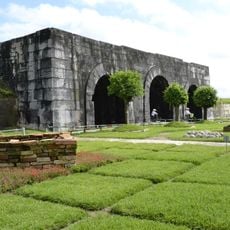
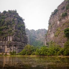
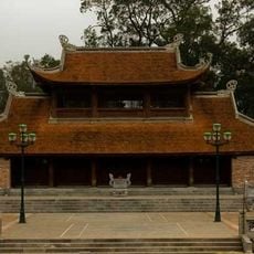
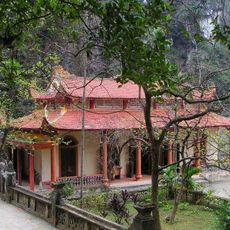
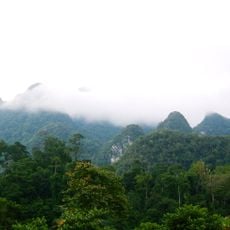
Quan Hóa is a rural district in the North Central Coast region of Vietnam, situated in hilly terrain at about 500 meters elevation. The area spans mountainous land with farming communities and settlements interspersed among agricultural areas.

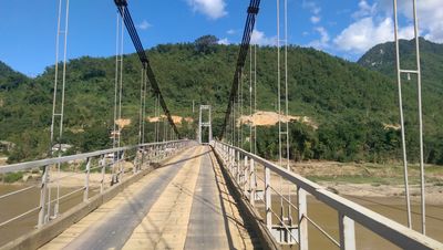
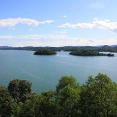
The district evolved over generations as an agricultural settlement in Thanh Hóa's mountainous region. In recent decades, a major hydropower project brought significant changes to local infrastructure and energy generation.

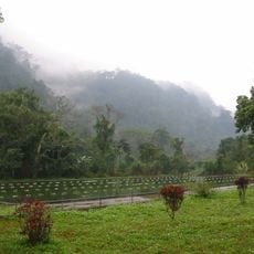
The people of Quan Hóa shape their daily lives around farming, with rice fields and vegetable plots dotting the landscape between villages. This connection to the land defines how communities organize themselves and interact with their surroundings.

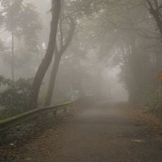
The district experiences two main seasons: dry and rainy, with mild winters and warm summers in the mountainous setting. Visitors should prepare for varying weather and plan routes carefully when exploring the hilly terrain.

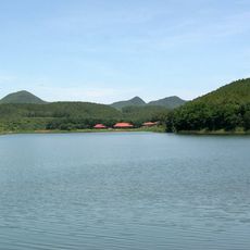
The district is home to the Trung Son Hydropower Project, a major engineering achievement that created an artificial reservoir in the mountainous landscape. This dam reshaped both the energy supply and the physical environment that residents navigate daily.

The community of curious travelers

AroundUs brings together thousands of curated places, local tips, and hidden gems, enriched daily by 60,000 contributors worldwide.

Start exploring
Location
Elevation above the sea
519 m
GPS coordinates
20.41700,104.91700
Latest update
December 7, 2025 20:47
« Quan Hóa - Rural district in Thanh Hóa Province, Vietnam » is provided by Around Us (aroundus.com). Images and texts are derived from Wikimedia project under a Creative Commons license. You are allowed to copy, distribute, and modify copies of this page, under the conditions set by the license, as long as this note is clearly visible.

Discover hidden gems everywhere you go!

From secret cafés to breathtaking viewpoints, skip the crowded tourist spots and find places that match your style. Our app makes it easy with voice search, smart filtering, route optimization, and insider tips from travelers worldwide. Download now for the complete mobile experience.

Around Us App Screenshot

A unique approach to discovering new places

Le Figaro

All the places worth exploring

France Info

A tailor-made excursion in just a few clicks

20 Minutes

Around Us
Travel Guide & Maps
Download

Send to your phone

QR Code
1

Open the camera app on your mobile.

2

Point at the QR code with your camera. A notification will appear.

3

Tap the notification to open the link.