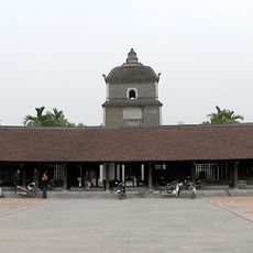
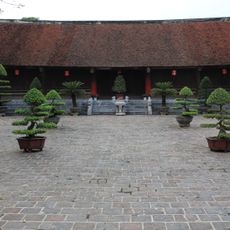
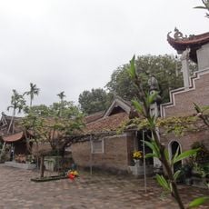
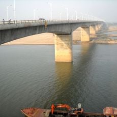
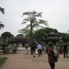
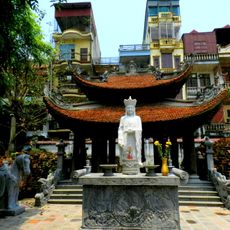
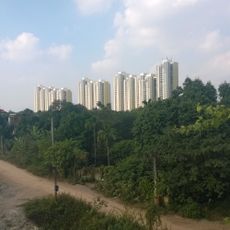
Mão Điền, localité du Viêt Nam
Location: Thuận Thành
Elevation above the sea: 3 m
GPS coordinates: 21.06000,106.12917
Latest update: March 4, 2025 09:03
Long Bien Bridge
28.1 km
Hanoi Opera House
28.5 km
Dâu pagoda
9.4 km
Co Loa Citadel
27.2 km
Phật Tích Temple
11.6 km
National Museum of Vietnamese History
28.3 km
Chùa Vĩnh Nghiêm
26.5 km
Bút Tháp Temple
11.1 km
Chương Dương Bridge
28 km
Vĩnh Tuy Bridge
27 km
Ham Long Buddhist temple
9.8 km
Temple of Literature, Mao Điền
15.1 km
Ngọc Lũ drum
28.4 km
Dong Tru Bridge
26.1 km
Hai Bà Trưng Temple
28.8 km
Ecopark
23 km
Đào Thịnh bronze jar
28.4 km
Phu Luong Bridge
26.6 km
Duong River Bridge
23 km
Vietnam Museum of Revolution
28.4 km
Chùa Keo temple
14.8 km
Hoàng Hạ bronze drum
28.4 km
Bat Trang National ceramic museum
24.1 km
Binh Minh Jazz Club
28.4 km
Rạp Công Nhân
28.8 km
Sông Bé Bridge
23 km
Heritage House
28.8 km
Bronze Lamp in the Shape of a Kneeling Man
28.4 kmVisited this place? Tap the stars to rate it and share your experience / photos with the community! Try now! You can cancel it anytime.
Discover hidden gems everywhere you go!
From secret cafés to breathtaking viewpoints, skip the crowded tourist spots and find places that match your style. Our app makes it easy with voice search, smart filtering, route optimization, and insider tips from travelers worldwide. Download now for the complete mobile experience.
A unique approach to discovering new places❞
— Le Figaro
All the places worth exploring❞
— France Info
A tailor-made excursion in just a few clicks❞
— 20 Minutes