Al Mahwit

Log in to your account

AroundUs is a community-driven map of interesting places, built by curious explorers like you. It grows with every review, story, and photo you share.
Connect to save your favorite spots, contribute locations, and create personalized routes.
By continuing, you accept our Terms and Conditions and our Privacy Policy

Al Mahwit

Add to collection
Map
Suggest a change
Share

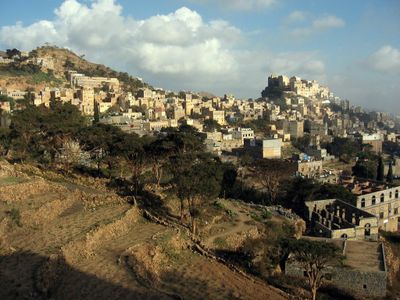
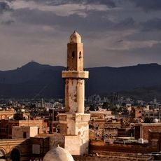
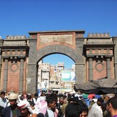
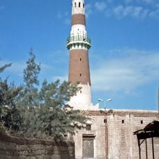
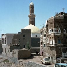
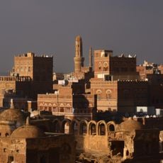
Al Mahwit, Mountain town in Al Mahwit Governorate, Yemen.
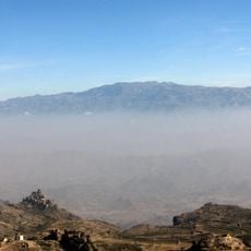
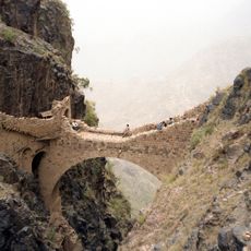
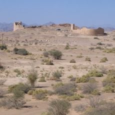
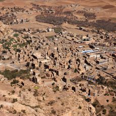
Al Mahwit rises at 2000 meters above sea level, surrounded by steep mountains and deep valleys in the western region of Yemen.

The town remained disconnected from major population centers until the 1970s, when infrastructure development brought water, electricity, and sanitation systems.

Agricultural traditions shape the local economy, with farmers cultivating coffee, tobacco, corn, sorghum, and qat throughout the mountainous terrain.

The climate features warm days and cool nights, with substantial rainfall occurring during spring and summer months, particularly in April and August.

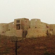
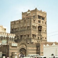
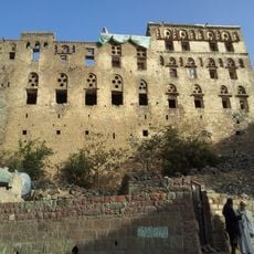
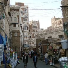
Traditional mud-brick houses stand on rocky outcrops across the landscape, creating distinct settlements that integrate with the natural terrain.

Location: Al Mahwit Governorate

Elevation above the sea: 2,000 m

GPS coordinates: 15.46944,43.54528

Latest update: March 4, 2025 21:54

Photography locations in Yemen

Yemen offers photographers subjects ranging from the ancient mud architecture of Sanaa to volcanic craters and the geological formations of Socotra. The Old City of Sanaa presents multi-story tower houses decorated with white gypsum patterns, while Shibam in Hadhramaut displays mud-brick high-rises dating from the 16th century. The fortress of Kawkaban sits atop a high plateau, the village of Hababah demonstrates traditional mountain architecture, and Shaharah Bridge connects two mountain peaks at an elevation exceeding 8,500 feet (2,600 meters). Socotra features Detwah Lagoon, dragon blood trees and limestone caves within its distinct ecosystem. The crater of Haradha Damt is an extinct volcano near Damt, the Marib Dam represents Sabaean engineering from antiquity, and the ruins of Arsh Balqis mark an ancient temple site. Wadi Dawan cuts through Hadhramaut with palm groves and mud villages, Jabal al-Nabi Shu'ayb reaches 12,028 feet (3,666 meters) as the highest peak on the Arabian Peninsula, and Zabid preserves its role as a historic center of Islamic scholarship. Sira Fortress in Aden occupies a volcanic rock above the harbor, Dar al-Hajar in Wadi Dhahr is an 18th-century palace built on a rock outcrop, and Al Saleh Mosque in Sanaa dates from 2008.

Reviews

Visited this place? Tap the stars to rate it and share your experience / photos with the community! Try now! You can cancel it anytime.

« Al Mahwit - Mountain town in Al Mahwit Governorate, Yemen » is provided by Around Us (aroundus.com). Images and texts are derived from Wikimedia project under a Creative Commons license. You are allowed to copy, distribute, and modify copies of this page, under the conditions set by the license, as long as this note is clearly visible.

Discover hidden gems everywhere you go!

From secret cafés to breathtaking viewpoints, skip the crowded tourist spots and find places that match your style. Our app makes it easy with voice search, smart filtering, route optimization, and insider tips from travelers worldwide. Download now for the complete mobile experience.

Around Us App Screenshot

A unique approach to discovering new places

Le Figaro

All the places worth exploring

France Info

A tailor-made excursion in just a few clicks

20 Minutes