Hat District, District of Al Mahrah Governorate, Yemen
Location: Al Mahrah Governorate
Elevation above the sea: 594 m
Shares border with: Rumah District, Al Ghaydah District, Shahan District, Man'ar District
GPS coordinates: 17.16667,51.41667
Latest update: March 7, 2025 15:44
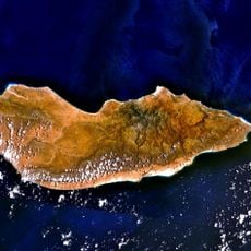
Socotra
584.1 km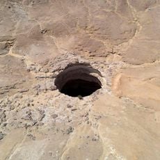
Well of Barhout
110.9 km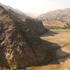
Najran Province
774.9 km
Socotra Archipelago
561.6 km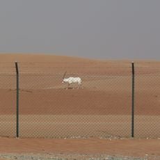
Arabian Oryx Sanctuary
653.5 km
Khor Rori
321.4 km
Djebel Samhan
359 km
Kathiri Palace
311.1 km
Al Baleed Archeological Park
289.7 km
Land of Frankincense
265.7 km
Fort Al-Ghwayzi
379.4 km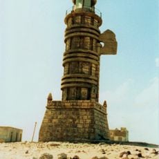
Phare du Cap Guardafui
593.6 km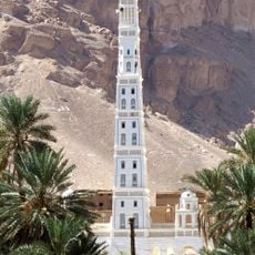
Al-Muhdhar Mosque
286.1 km
Al-Saada Stadium
290.3 km
Qu'aiti palace museum
382.3 km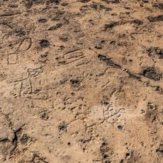
Eriosh Petroglyphs
570.8 km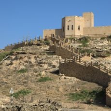
Taqah Castle
317.2 km
Mughsayl
255.5 km
Centrální park Severní Terasa
357.9 km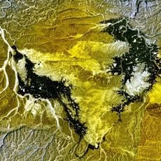
Bir Borhut
198.5 km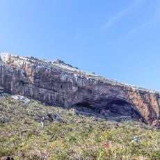
Hoq cave
599.7 km
Firmihin Dragon's Blood Tree Forest
591 km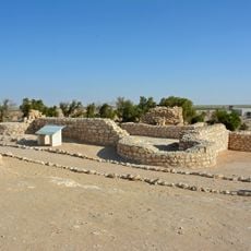
Shisr
265.9 km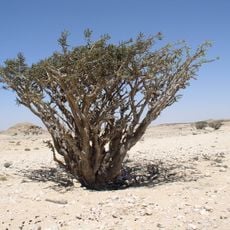
Wadi Dawkah Frankincense Trees
282.5 km
Māshanig
581.8 km
Jebel Skand
582.9 km
Shi‘b Ya‘ārīyah
233.4 km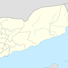
Shi‘b Yāskhūr
267 kmReviews
Visited this place? Tap the stars to rate it and share your experience / photos with the community! Try now! You can cancel it anytime.
Discover hidden gems everywhere you go!
From secret cafés to breathtaking viewpoints, skip the crowded tourist spots and find places that match your style. Our app makes it easy with voice search, smart filtering, route optimization, and insider tips from travelers worldwide. Download now for the complete mobile experience.

A unique approach to discovering new places❞
— Le Figaro
All the places worth exploring❞
— France Info
A tailor-made excursion in just a few clicks❞
— 20 Minutes