Rukum District, Former administrative district in western Nepal
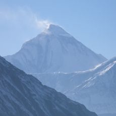
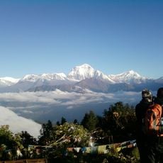
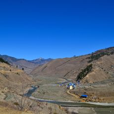
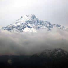
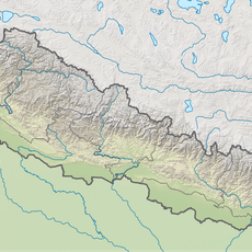
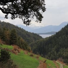
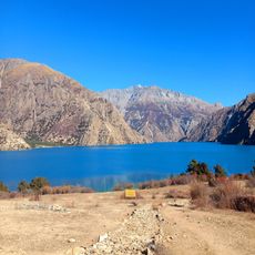
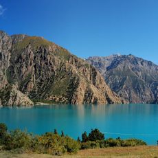
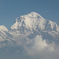
Rukum District was a former administrative district in western Nepal covering about 2,877 square kilometers of mountainous terrain. Elevations ranged from 800 meters in the lower valleys to nearly 6,000 meters at the highest peaks in the Dhaulagiri Himalaya range.
The district underwent administrative reorganization in 2017 when it was divided into two separate districts: Western Rukum and Eastern Rukum. This split reshaped the administrative structure of western Nepal.
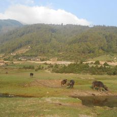
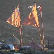
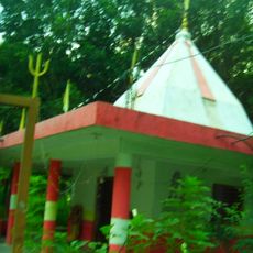
The area was home to Chhetri and Magar communities who spoke Nepali and maintained traditional village life in the mountain settlements.
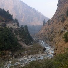
The area had limited access, with two small airports at Chaurjahari and Rukum Salle offering basic facilities for flights to larger towns. The mountainous terrain requires good preparation and realistic expectations for travel conditions.
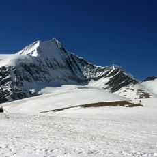
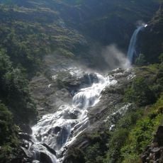
The area contained 52 ponds and 53 hills, including Mount Sisne at 5,911 meters. This peak marked the westernmost summit in the Dhaulagiri mountain range.
The community of curious travelers
AroundUs brings together thousands of curated places, local tips, and hidden gems, enriched daily by 60,000 contributors worldwide.