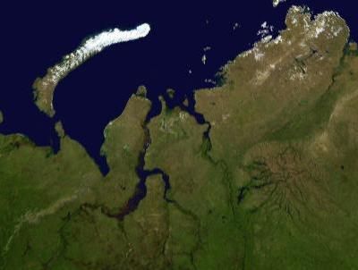
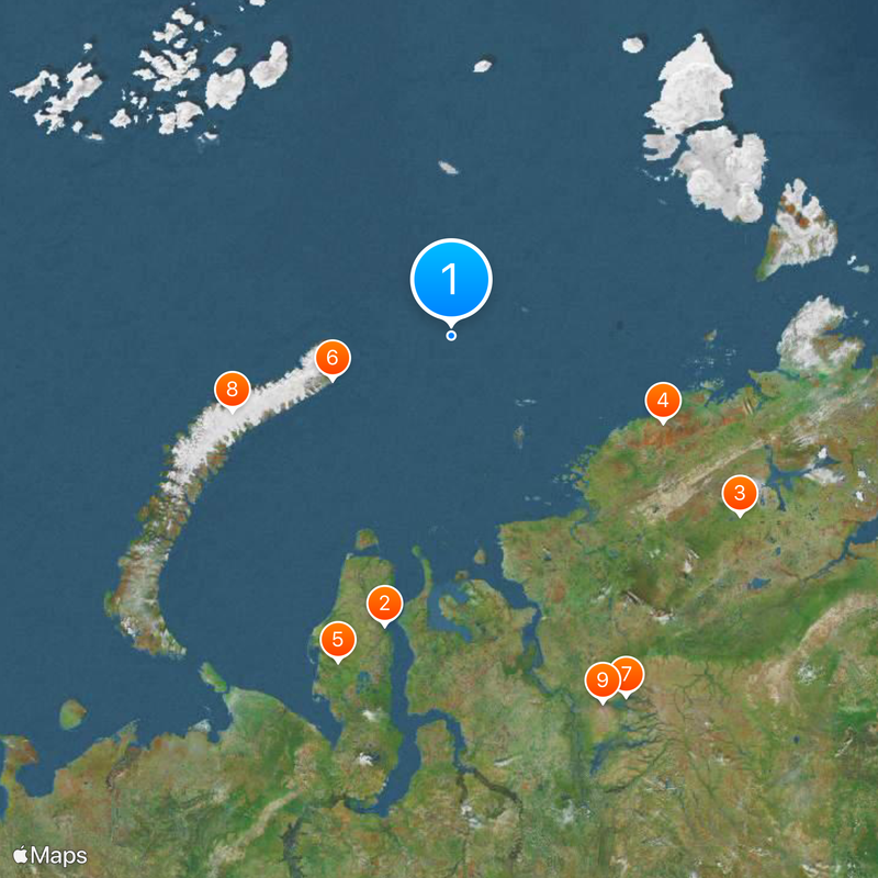
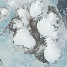
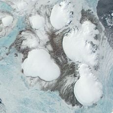
Kara Sea, Marginal sea of Arctic Ocean in northern Siberia, Russia
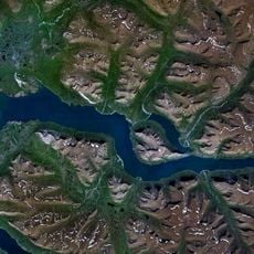
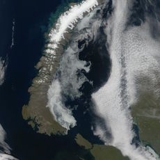
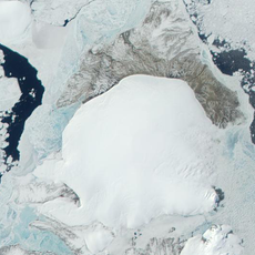
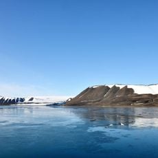
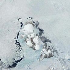
The Kara Sea lies between Novaya Zemlya and Severnaya Zemlya in the Siberian Arctic, covering a wide area of shallow ocean. Most of the seabed sits around 100 meters below the surface, with deeper troughs near the coasts and shallower zones in the middle.
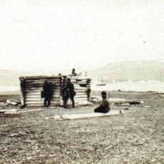
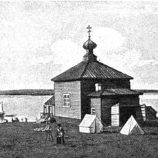
English sailors tried to find a route through this water in the 1500s but met heavy ice. Soviet ships began using the Northern Sea Route regularly in the 1900s, changing how the region could be reached.
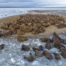
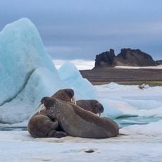
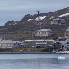
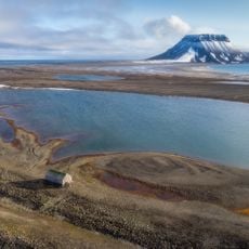
Local Nenets communities know this water as a place where the ice piles high, a description that became its official name through Russian explorers. Coastal settlements depend on summer fishing and seal hunting when the surface finally clears.
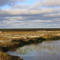
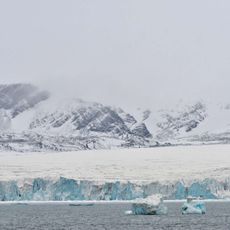
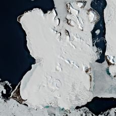
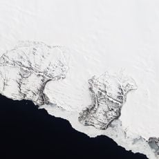
The surface stays covered with ice from September through May, while summer months from June to August offer brief windows for shipping. Strong winds and sudden fog banks make navigation difficult even in summer and require experienced crews.
Several Soviet nuclear submarines and reactors lie beneath the water, sunk during the decades of the Cold War. Scientists regularly check radiation levels to watch for possible leaks and track their effects on marine life.
The community of curious travelers
AroundUs brings together thousands of curated places, local tips, and hidden gems, enriched daily by 60,000 contributors worldwide.