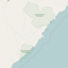
Ayano-Maysky District, Municipal district in Khabarovsk Krai, Russia.
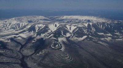
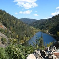
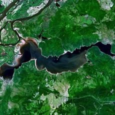
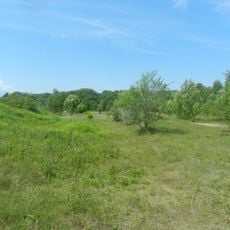
Ayano-Maysky District is a municipal administrative area in northern Khabarovsk Krai that spans across a vast territory of mountainous and riverine landscapes. The region is characterized by the Dzhugdzhur Mountains and several major rivers including the Maya and Maymakan.
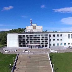
The administrative area was established in 1930 and created through the merger of historical territories. The port town of Ayan was designated as the administrative center of the newly formed district.
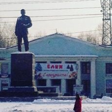
The region is shaped by Evenk communities whose traditions and way of life define daily activities in local settlements. Their relationship with the land and reindeer herding continues to influence the district's character today.
The territory is divided into different climate zones that significantly influence local conditions. Inland and coastal areas differ noticeably in their weather patterns and create different demands on visitors.
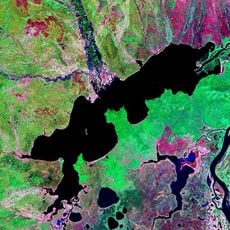
The territory contains the Kondyor Massif, an unusual circular mountain formation with substantial zirconium ore deposits. This geological feature makes the region a place of scientific interest for mineralogy experts.
Location: Khabarovsk Krai
Inception: December 10, 1930
Capital city: Ayan
Website: http://ayanrayon.ru
GPS coordinates: 55.48333,135.00000
Latest update: December 10, 2025 15:53
Zeya Dam
530.9 km
Highland of Aldan
648 km
Lake Amut
528.6 km
Komsomolsk-on-Amur road-rail bridge
573.9 km
Zeya Nature Reserve
518.4 km
Lake Bolshoe Kizi
560.6 km
Bureya Nature Reserve
396.5 km
Dzhugdzursky Nature Reserve
270.2 km
Shantar Islands National Park
167.5 km
Bureinsky Ridge
462.7 km
Yongning Temple Stele
419.6 km
Bolon
633.6 km
Komsomolsk Nature Reserve
550.9 km
Nora Nature Reserve
452.7 km
Lake Bolshoye Toko
265.4 km
Lake Evoron
455.9 km
Силинский лес
563.1 km
Tokinsko-Stanovoy National Park
308.8 km
Lake Udyl
491.1 km
Orthodox cathedral of Saint Elijah the Prophet in Komsomolsk-on-Amur
562.6 km
Drama Theatre of Komsomolsk-on-Amur
567 km
Gora Burgalenzha
163.3 km
Road bridge over Aldan River in Tommot
652 km
Railway bridge through Aldan river in Tommot
652.1 km
Gora Yuzhnyy Krest
160.9 km
Dvorets Kultury
598.9 km
Dom Kultury Stroiteley
565.4 km
Zeya Reservoir
502.8 kmVisited this place? Tap the stars to rate it and share your experience / photos with the community! Try now! You can cancel it anytime.
Discover hidden gems everywhere you go!
From secret cafés to breathtaking viewpoints, skip the crowded tourist spots and find places that match your style. Our app makes it easy with voice search, smart filtering, route optimization, and insider tips from travelers worldwide. Download now for the complete mobile experience.
A unique approach to discovering new places❞
— Le Figaro
All the places worth exploring❞
— France Info
A tailor-made excursion in just a few clicks❞
— 20 Minutes