Enable Location

We need your location to show you interesting places around you

Discover nearby places

Find interesting locations and hidden gems around you

Precise directions

Get accurate directions and distances to places

Your location is never shared with other users. It's only used when you tap the location button.

Khabarovsk Krai

Log in to your account

Start exploring — it's free

Trusted by 62,374 travelers worldwide

Continue with Google
Continue with Apple
or

We will send you a code to connect

By continuing, you accept our Terms and Conditions and our Privacy Policy

Check your inbox

We've sent a pincode in your inbox. Please enter the code below.

Khabarovsk Krai, Administrative division in Far Eastern Federal District, Russia.

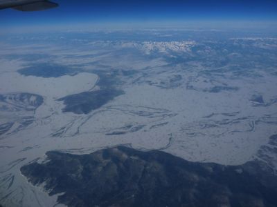
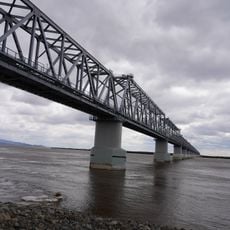
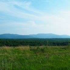
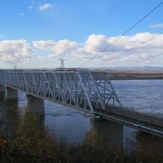
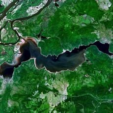
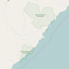
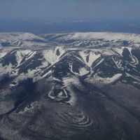
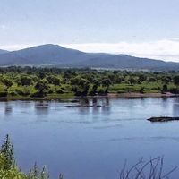
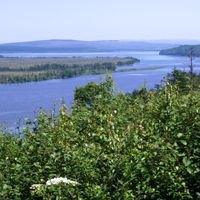
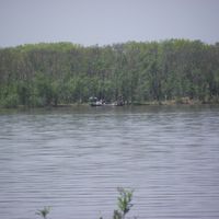
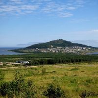
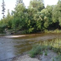
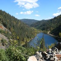
This territory covers over 304,000 square miles (788,000 square kilometers) of the Russian Far East and borders China and the Sea of Japan to the south. Vast taiga forests alternate with mountain ranges and flat plains along the major rivers.

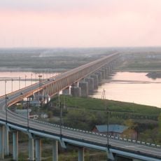
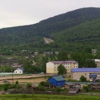
The region was created as a separate administrative unit in 1938 and initially comprised areas south of the Amur River down to the coast. The following decades brought economic development with railway lines and extraction of natural resources.

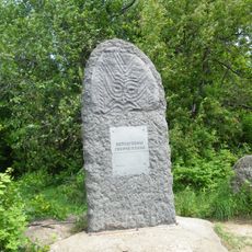
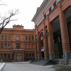
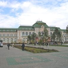
The territory maintains strong connections with indigenous communities, including Nanais, while supporting multiple theaters, museums, and educational institutions across its districts.

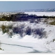
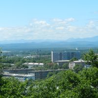
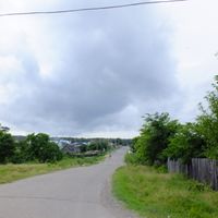
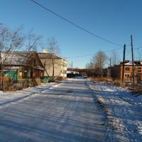
The climate is continental with cold winters and warm summers; the best travel months are from June to September. Larger settlements lie along the railway and the rivers, while northern parts remain thinly populated.

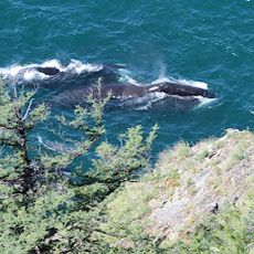
The area is home to most of Russia's tiger population, which lives in the southern forests. Some parts experience winter temperatures below minus 40 degrees Fahrenheit (minus 40 degrees Celsius), while summers along the coast bring warm sea breezes.

The community of curious travelers

AroundUs brings together thousands of curated places, local tips, and hidden gems, enriched daily by 60,000 contributors worldwide.

Start exploring
Location
Inception
October 20, 1938
Capital city
Khabarovsk
Reference
RU-KHA
Part of
Far Eastern Federal District
Shares border with
Jewish Autonomous Oblast, Amur Oblast, Sakha, Magadan Oblast, Sakhalin Oblast, Primorsky Krai, Heilongjiang
GPS coordinates
54.80000,136.83333
Latest update
December 14, 2025 21:46
Around this place
Show the full map
« Khabarovsk Krai - Administrative division in Far Eastern Federal District, Russia » is provided by Around Us (aroundus.com). Images and texts are derived from Wikimedia project under a Creative Commons license. You are allowed to copy, distribute, and modify copies of this page, under the conditions set by the license, as long as this note is clearly visible.

Discover hidden gems everywhere you go!

From secret cafés to breathtaking viewpoints, skip the crowded tourist spots and find places that match your style. Our app makes it easy with voice search, smart filtering, route optimization, and insider tips from travelers worldwide. Download now for the complete mobile experience.

Around Us App Screenshot

A unique approach to discovering new places

Le Figaro

All the places worth exploring

France Info

A tailor-made excursion in just a few clicks

20 Minutes

Around Us
Travel Guide & Maps
Download

Send to your phone

QR Code
1

Open the camera app on your mobile.

2

Point at the QR code with your camera. A notification will appear.

3

Tap the notification to open the link.