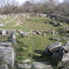
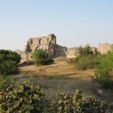
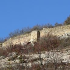
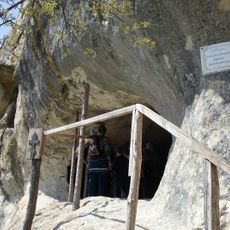
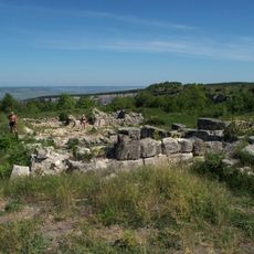
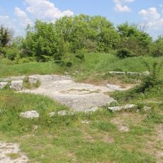
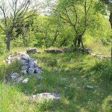
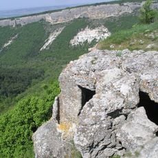
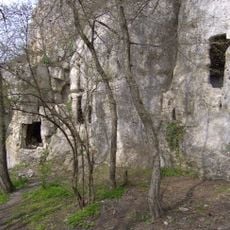
Fatma Qoba, Archaeological cave in Balaklava Raion, Ukraine.
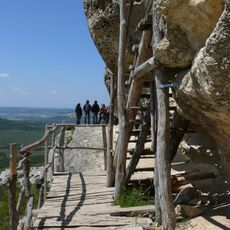
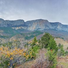
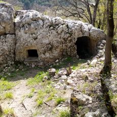
Fatma Qoba is a shallow rock-shelter in the Kobalar-Dere ravine of the Baydar Valley, on the right bank of the Kobalar-Su stream and facing southeast. It formed by weathering of a dense limestone layer capped by nummulitic limestone, reaches up to 4 m high, and offers about 50 m² of sediment-bearing floor for excavation, while much of the rest is a steeply inclined rocky surface.
The Crimean expedition led by G. A. Bonch-Osmolovsky, with S. A. Trusova and S. N. Bibikov, discovered the Mesolithic site in 1926–27. Excavations resumed in 1956 under S. N. Bibikov, revealing seven layers up to 2 m deep, from Azilian and Tardenoisian cultures to the Copper Age. A crouched male burial, covered with large stones, was removed as a monolith to Leningrad.
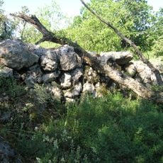
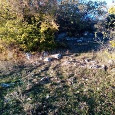
The name Fatma Qoba is Crimean Tatar for "Fatma's cave", linking the shelter to a woman's name of Islamic origin. Excavations in 1926–27 and 1956 uncovered a stone setting at the entrance, probably a windbreak, and a crouched burial of a man of the Mediterranean type, about 40 years old, laid on his right side with head to the south-southeast under large stones.
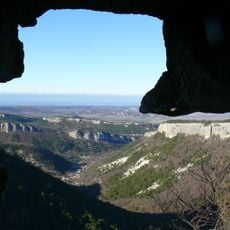
The shelter lies on the right bank of the Kobalar-Su stream in the Kobalar-Dere gully, about 2 km west of Peredove in the Baidar valley. The excavated area covers roughly 50 m², while much of the rest is a bare limestone floor tilted along the dip of the bed. The overhang faces southeast and rises up to 4 m.
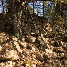
Excavators found a stone paving at the entrance to the rock shelter, probably laid as a windbreak. The 1956 dig by Serhiy Bibikov, about 13 m² and up to 2 m deep, re-exposed Bonch-Osmolovsky's earlier trench and confirmed seven layers, with five hearth spots traced.
The community of curious travelers
AroundUs brings together thousands of curated places, local tips, and hidden gems, enriched daily by 94,426 contributors worldwide.