The satellite imagery displays natural formations, artificial islands, and historical sites. The photographs document geological structures like the Richat crater in Mauritania and the Badlands Guardian in Canada. Views include Palm Jumeirah in Dubai, Nazca Lines in Peru, and El Castillo in Mexico.

Alberta, Canada
Clay and sandstone erosion landscape that appears from satellite view as a face with traditional feather ornaments.
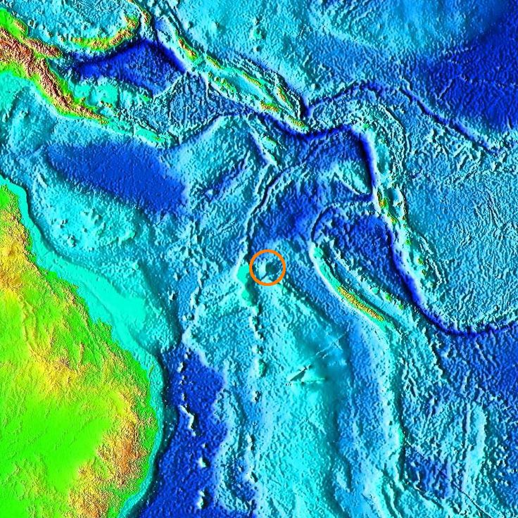
New Caledonia, France
Cartographic error in the Coral Sea between Australia and New Caledonia, disproven by scientific expedition in 2012.
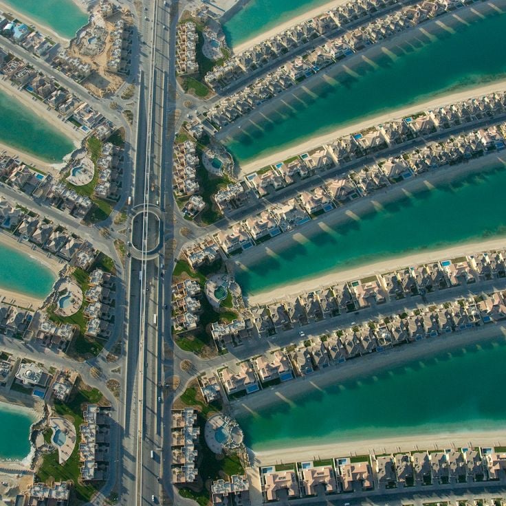
Dubai, United Arab Emirates
Sand filled island group with 16 extensions that resembles a palm tree with trunk and fronds when viewed from above.
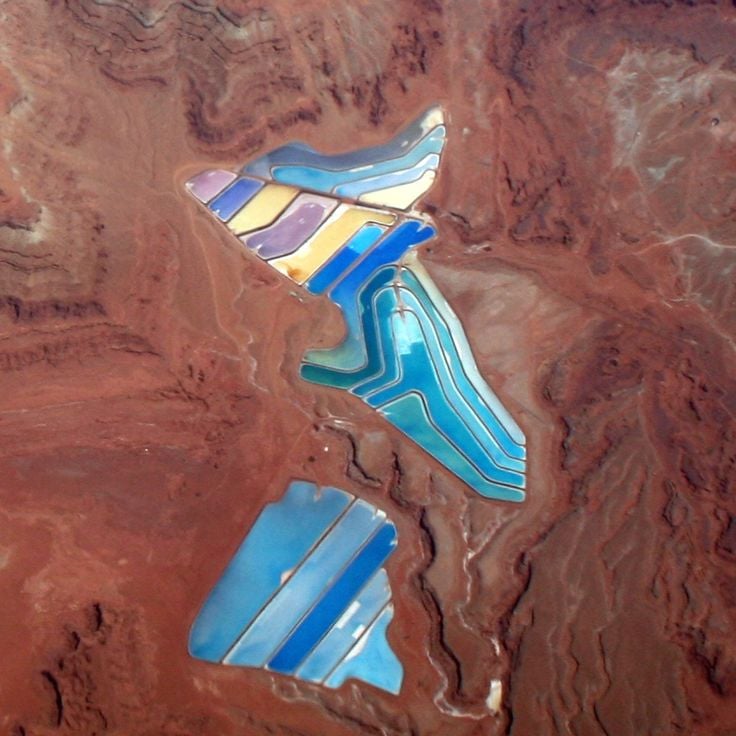
Utah, United States
Industrial evaporation basins for potassium extraction, colored by minerals and microorganisms in the water.
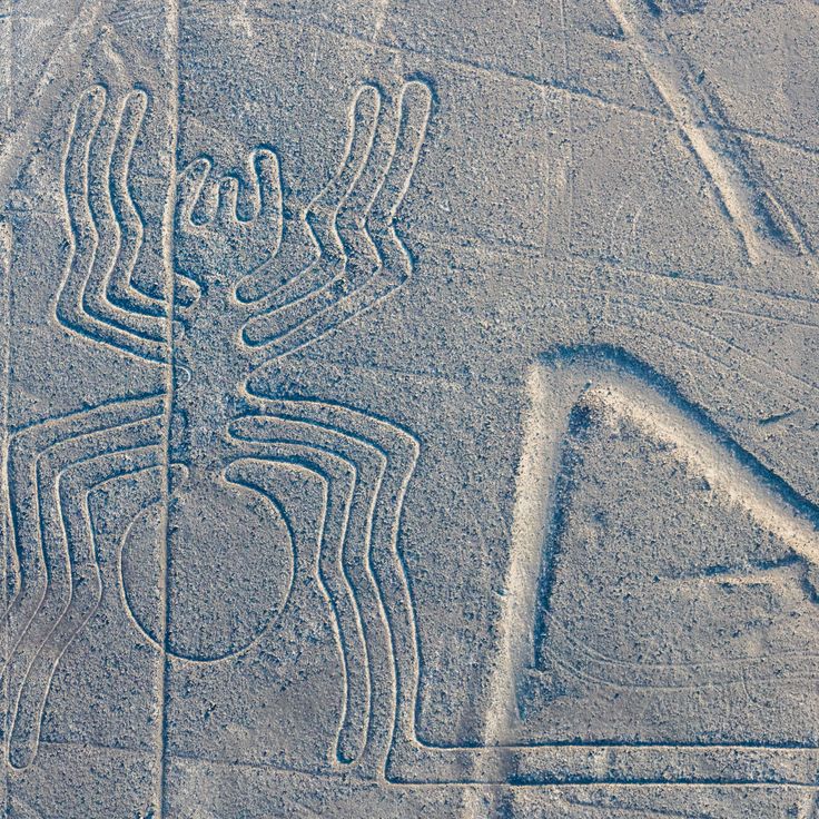
Nazca, Peru
These geometric figures and animal drawings were carved into the desert floor 2000 years ago and are only visible from above.
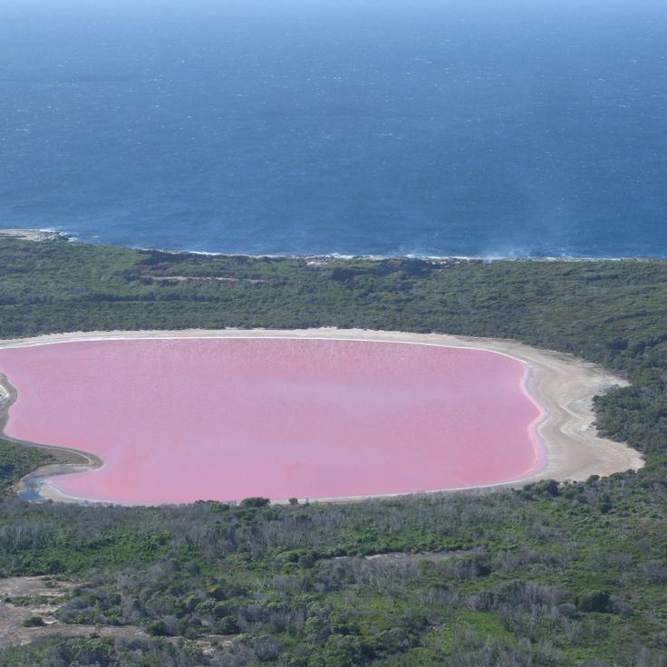
Western Australia, Australia
A saline lake with pink water caused by microorganisms and algae, bordered by white salt edges and eucalyptus forests.
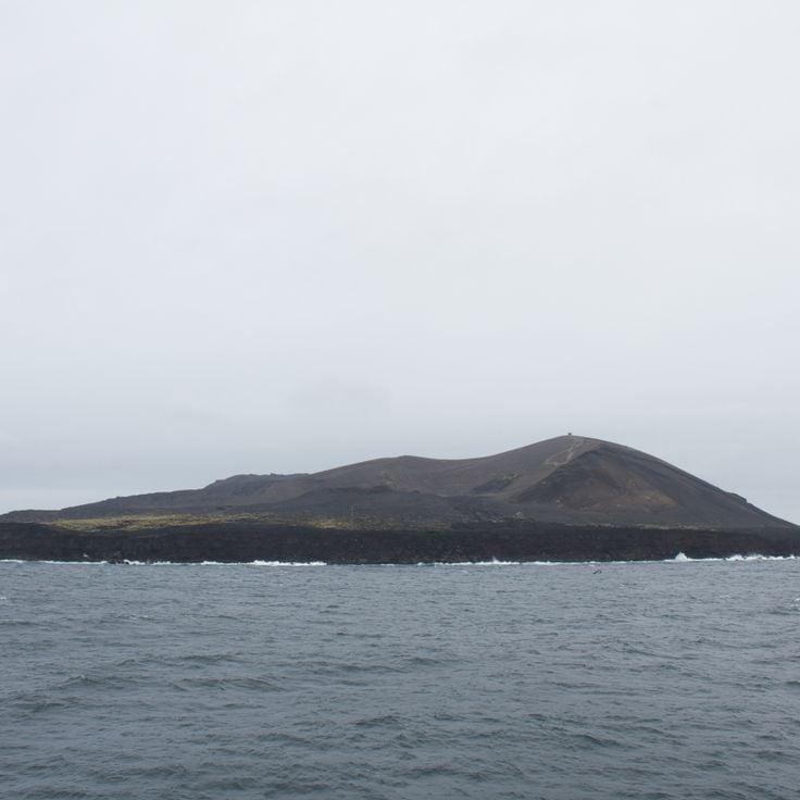
Vestmannaeyjar, Iceland
An island created by underwater volcanoes, used for research on natural colonization by plants and animals.
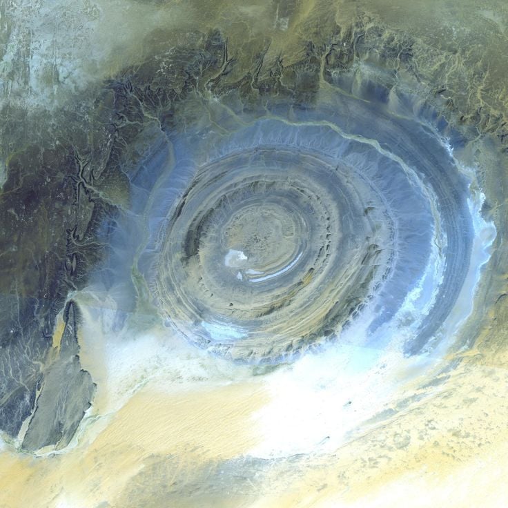
Adrar, Mauritania
A geological formation with concentric rings spanning 40 kilometers in diameter formed by erosion of a rock dome.
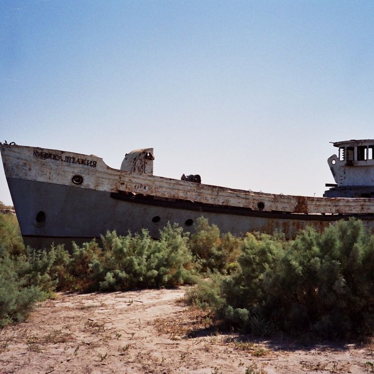
Moynaq, Uzbekistan
Metal remains of the fishing fleet scattered in sand where Aral Sea waters previously reached.
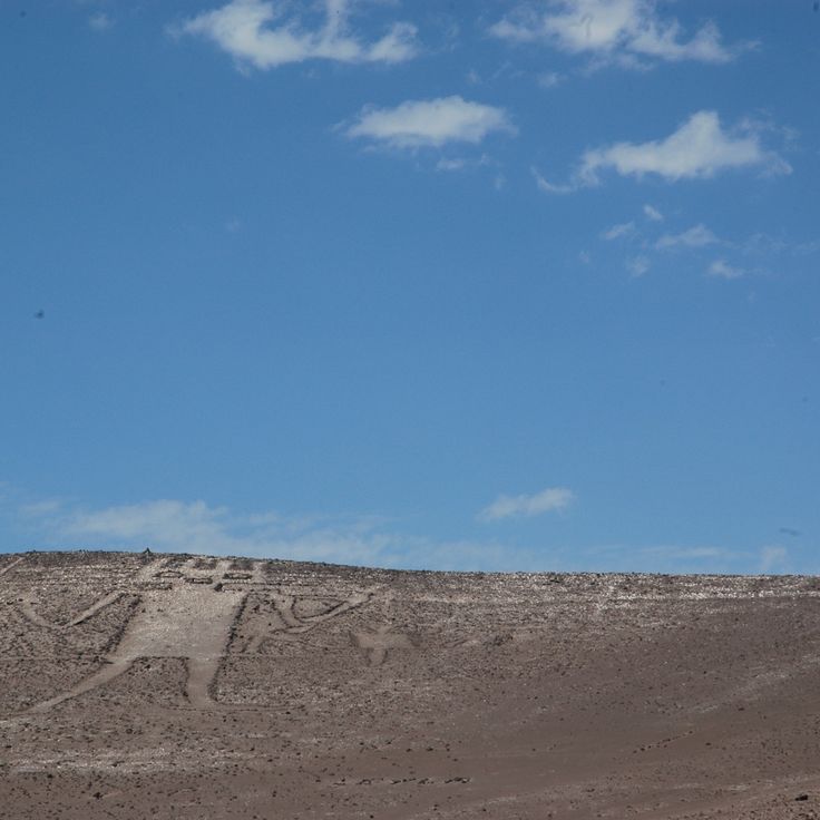
Atacama Desert, Chile
This drawn figure measures 119 meters and was engraved in the sand by the Tiwanaku cultures.
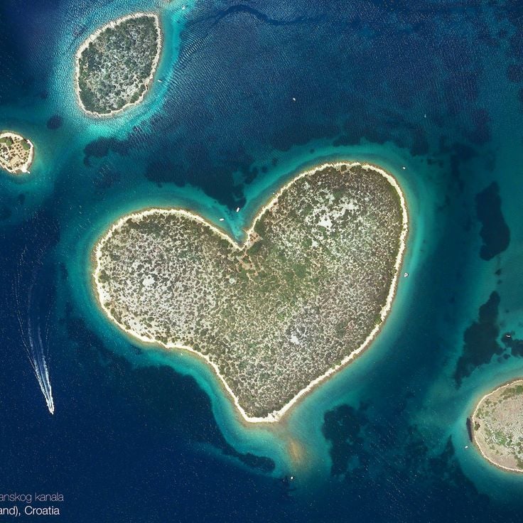
Zadar, Croatia
Private island in the Adriatic Sea with a natural heart formation and dense vegetation.
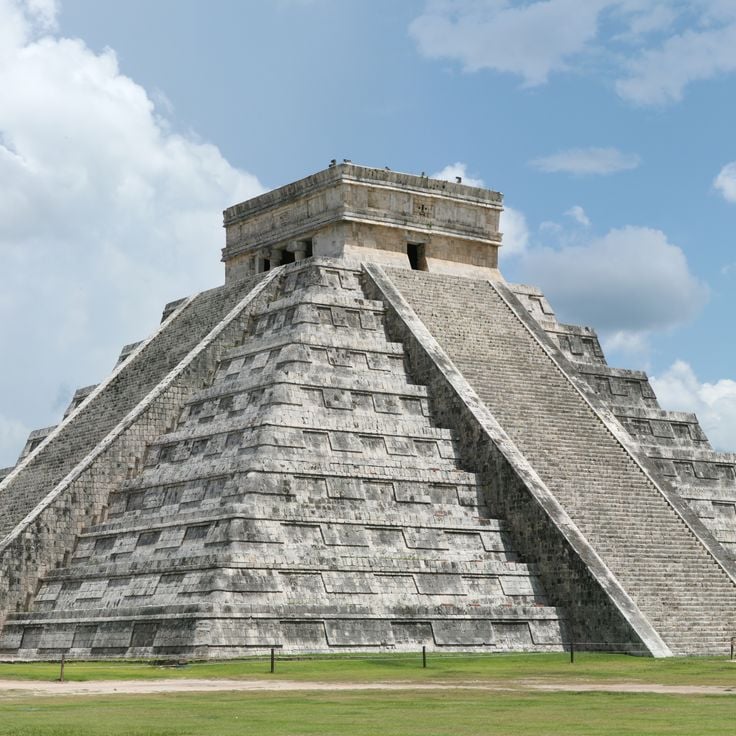
Yucatán, Mexico
This Maya step pyramid stands at the center of the archaeological site and measures 30 meters.
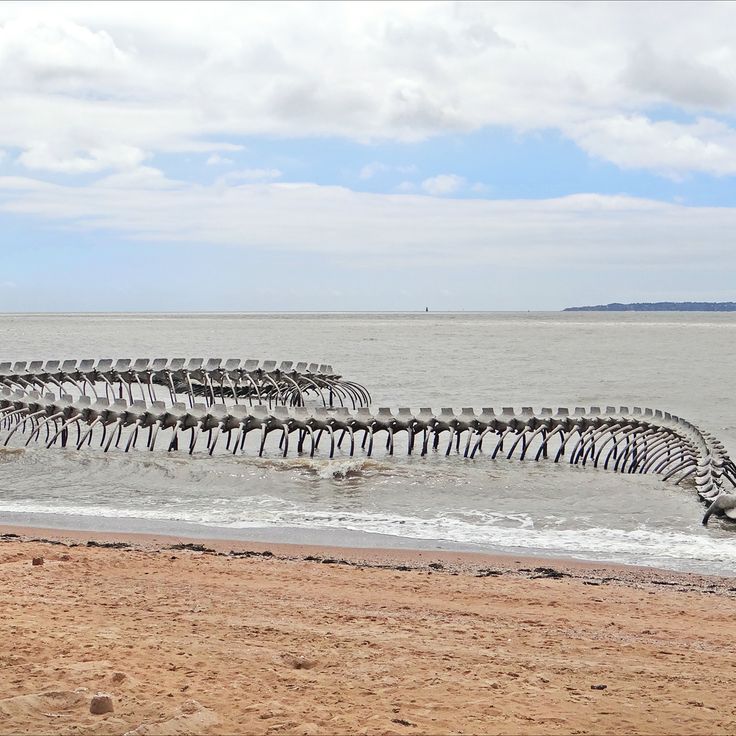
Satellite imagery
A geographic collection of remote locations on Earth, documented through satellite photographs from Google Earth and Google Maps. The images show natural formations and landscapes.