
Koyulhisar, district in Sivas Province, Turkey
Location: Sivas Province
Elevation above the sea: 970 m
GPS coordinates: 40.30111,37.83306
Latest update: March 11, 2025 00:02
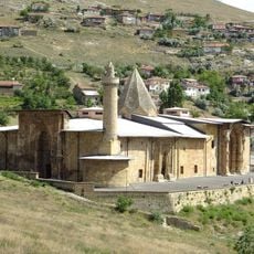
Divriği Great Mosque and Hospital
106.4 km
Göğceli Mosque
135.7 km
Pontic Mountains
37.5 km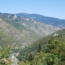
Zigana Pass
137.6 km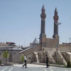
Çifte Minareli Madrasa
93.1 km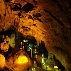
Ballıca Cave
130.4 km
Taşhan, Tokat
108.8 km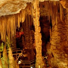
Karaca Cave
135.8 km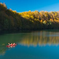
Ulugöl Nature Park
44 km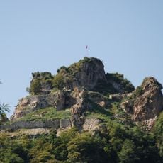
Unye Castle
101.8 km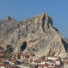
Tokat Castle
109.1 km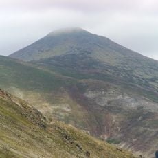
Giresun Dağları
15.7 km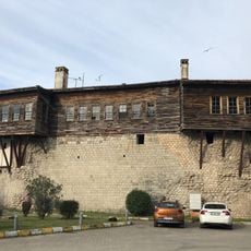
Bolaman Castle
84.3 km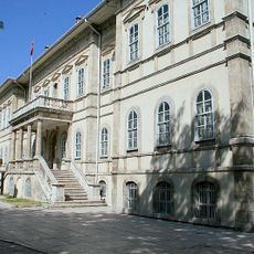
Sivas Congress and Ethnography Museum
93 km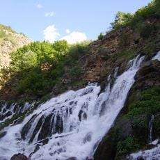
Tomara Waterfall
105.9 km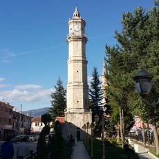
Tokat Clock Tower
108.6 km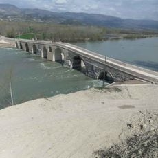
Talazan Köprüsü
93.3 km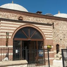
Tokat Museum
109.2 km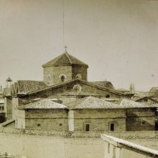
Sourb Nshan of Sebastia
91.6 km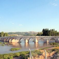
Bent Bridge
93 km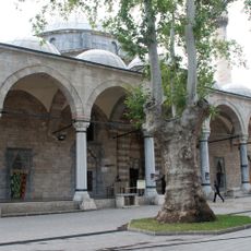
Ali Pasha Mosque
128.2 km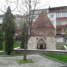
Sen Timur Tomb
108.8 km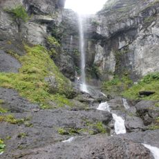
Paşaca Şelalesi
127.3 km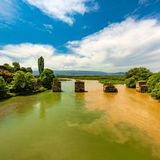
Boğazkesen Bridge
123.3 km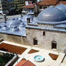
Ali Paşa Hamamı
108.8 km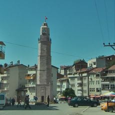
Şehitler Clock Tower
81.4 km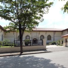
Archaeological museum Sivas
92.7 km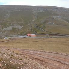
Eğribel Pass
50.9 kmReviews
Visited this place? Tap the stars to rate it and share your experience / photos with the community! Try now! You can cancel it anytime.
Discover hidden gems everywhere you go!
From secret cafés to breathtaking viewpoints, skip the crowded tourist spots and find places that match your style. Our app makes it easy with voice search, smart filtering, route optimization, and insider tips from travelers worldwide. Download now for the complete mobile experience.

A unique approach to discovering new places❞
— Le Figaro
All the places worth exploring❞
— France Info
A tailor-made excursion in just a few clicks❞
— 20 Minutes