Enable Location

We need your location to show you interesting places around you

Discover nearby places

Find interesting locations and hidden gems around you

Precise directions

Get accurate directions and distances to places

Your location is never shared with other users. It's only used when you tap the location button.

Giresun Dağları

Log in to your account

Start exploring — it's free

Trusted by 62,014 travelers worldwide

Continue with Google
Continue with Apple
or

We will send you a code to connect

By continuing, you accept our Terms and Conditions and our Privacy Policy

Check your inbox

We've sent a pincode in your inbox. Please enter the code below.

Giresun Dağları

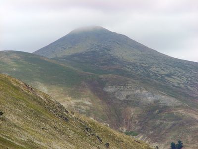
Giresun Dağları, Mountain range in northeastern Türkiye.

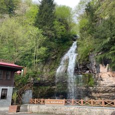
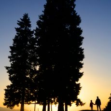
Giresun Mountains form a mountain range in northeastern Türkiye stretching between the Black Sea coast and the Anatolian plateau. The range contains multiple peaks and valleys with glacial lakes scattered across different elevations.

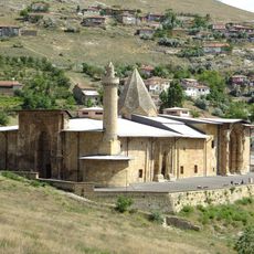
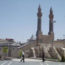
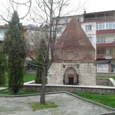
The region was settled in ancient times by Romans and Byzantines who established trade routes through the mountain passes. These early connections shaped how human communities developed in the area.

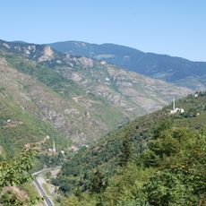
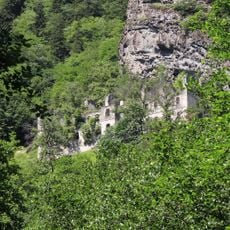
The mountains have long been tied to hazelnut farming in their lower elevations, shaping how the land looks and how people live there. The villages maintain ways of life that connect people closely to the natural world and its changing seasons.

The region is most easily visited from spring through fall when higher areas are accessible and hiking conditions are favorable. Visitors should be prepared for simple villages and limited services in the more remote areas.

The largest lake in the chain, Karagöl, has a deep dark blue color that comes from its unusual depth, setting it apart from other mountain lakes. This striking color makes it instantly recognizable to visitors.

The community of curious travelers

AroundUs brings together thousands of curated places, local tips, and hidden gems, enriched daily by 60,000 contributors worldwide.

Start exploring
GPS coordinates
40.44030,37.85995
Latest update
December 11, 2025 11:06
« Giresun Dağları - Mountain range in northeastern Türkiye » is provided by Around Us (aroundus.com). Images and texts are derived from Wikimedia project under a Creative Commons license. You are allowed to copy, distribute, and modify copies of this page, under the conditions set by the license, as long as this note is clearly visible.

Discover hidden gems everywhere you go!

From secret cafés to breathtaking viewpoints, skip the crowded tourist spots and find places that match your style. Our app makes it easy with voice search, smart filtering, route optimization, and insider tips from travelers worldwide. Download now for the complete mobile experience.

Around Us App Screenshot

A unique approach to discovering new places

Le Figaro

All the places worth exploring

France Info

A tailor-made excursion in just a few clicks

20 Minutes

Around Us
Travel Guide & Maps
Download

Send to your phone

QR Code
1

Open the camera app on your mobile.

2

Point at the QR code with your camera. A notification will appear.

3

Tap the notification to open the link.