Enable Location

We need your location to show you interesting places around you

Discover nearby places

Find interesting locations and hidden gems around you

Precise directions

Get accurate directions and distances to places

Your location is never shared with other users. It's only used when you tap the location button.

Pingfengshan

Log in to your account

Start exploring — it's free

Trusted by 65,126 travelers worldwide

Continue with Google
Continue with Apple
or

We will send you a code to connect

By continuing, you accept our Terms and Conditions and our Privacy Policy

Check your inbox

We've sent a pincode in your inbox. Please enter the code below.

Pingfengshan
Discussion Reviews 1 Photos
5.4k Popularity

Pingfengshan, Mountain summit in Xiulin Township, Taiwan.

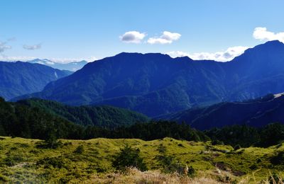
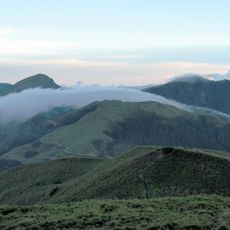
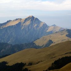
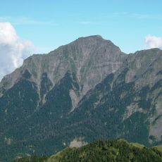
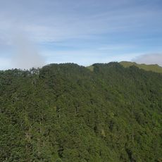
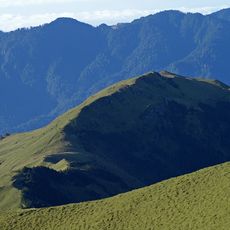
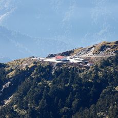
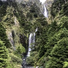
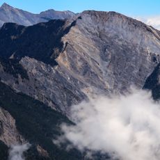
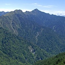
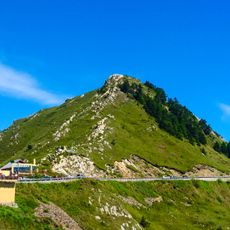
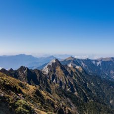
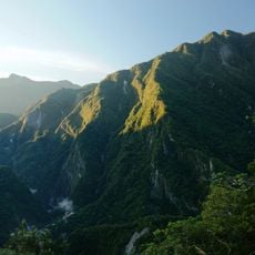
Pingfengshan is a mountain summit in the Hehuan range of central Taiwan, rising to around 3,250 meters above sea level. The slopes are covered with arrow bamboo and pine trees, and a small shelter near the top offers sleeping space for hikers who make the ascent.

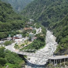
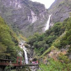
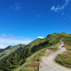
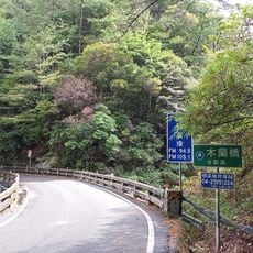
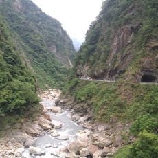
The original trail from Dayuling Pass was closed in 2022 after landslides made it impassable, and a new route was opened starting from kilometer 111.2 of Highway 8. This alternative path crosses the Taziji River and restored access to the summit from a different direction.

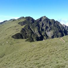
The name Pingfengshan translates roughly to folding screen mountain in Chinese, because the ridgeline looks like a traditional room divider when seen from certain angles below. Naming peaks after everyday objects they resemble is a long-standing habit among the people who have lived near these mountains.

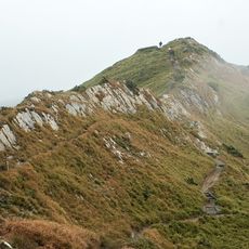
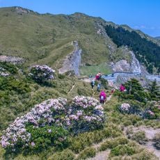
A permit and advance reservation with the national park management are required to secure a place at the mountain shelter before setting out. The trail includes steep rocky sections and wooden ladders, so sturdy footwear and a good level of fitness are strongly recommended.

The trail uses wooden ladders fixed into rocky cliff faces, a feature more often found on via ferrata routes in Europe than on high-altitude trails in Taiwan. These ladders are not a shortcut but a necessary aid on sections where the rock is too steep to climb otherwise.

The community of curious travelers

AroundUs brings together thousands of curated places, local tips, and hidden gems, enriched daily by 60,000 contributors worldwide.

Start exploring
GPS coordinates
24.14930,121.34294
Latest update
March 3, 2026 10:08
Reviews
Share your experience

No review yet

Discussions
Start a discussion...

No discussion yet

« Pingfengshan - Mountain summit in Xiulin Township, Taiwan » is provided by Around Us (aroundus.com). Images and texts are derived from Wikimedia project under a Creative Commons license. You are allowed to copy, distribute, and modify copies of this page, under the conditions set by the license, as long as this note is clearly visible.

Discover hidden gems everywhere you go!

From secret cafés to breathtaking viewpoints, skip the crowded tourist spots and find places that match your style. Our app makes it easy with voice search, smart filtering, route optimization, and insider tips from travelers worldwide. Download now for the complete mobile experience.

Around Us App Screenshot

A unique approach to discovering new places

Le Figaro

All the places worth exploring

France Info

A tailor-made excursion in just a few clicks

20 Minutes

Around Us
Travel Guide & Maps
Download

Send to your phone

QR Code
1

Open the camera app on your mobile.

2

Point at the QR code with your camera. A notification will appear.

3

Tap the notification to open the link.