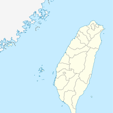
Kunyang, Nantou, Mountain viewpoint in Nantou County, Taiwan
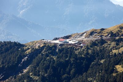
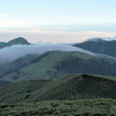
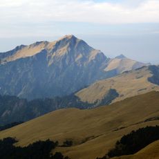
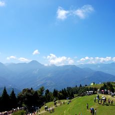
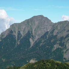
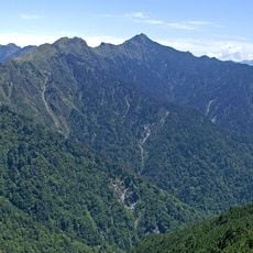
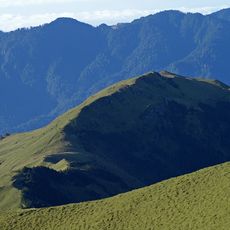
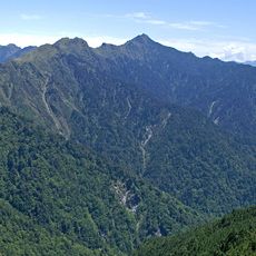
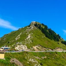
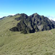
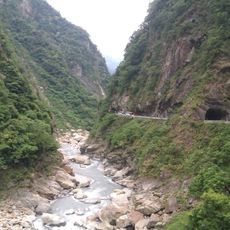
Kunyang is a mountain viewpoint on 3,085 meters elevation in central Taiwan, from which Mount Qilai and the main and east peaks of Mount Hehuanshan come into view. The location sits where multiple hiking trails meet, and from here the views extend across neighboring ranges and valleys below.
During Japanese occupation, the site served as a base for exploration teams that mapped mountain routes and surveyed the region systematically. This early mapping work established foundations for how the mountain area would later be accessed and understood.
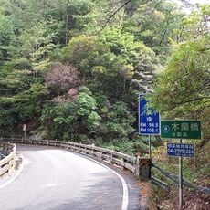
The place sits in Ren'ai Township, where connections between local mountain communities and the surrounding landscape remain visible in daily practices. Visitors can observe how people move through and use these high-altitude spaces in ways tied to the region's past.
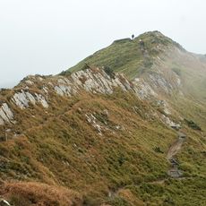
The best time to visit is during early morning or evening hours when weather tends to be clearest and views across the ranges are at their best. The terrain requires stable footing and proper gear, as conditions at this elevation can change quickly throughout the day.
The location provides unobstructed views of night skies and draws those interested in astrophotography who take advantage of minimal light pollution here. Clear nights at this spot rank among the best conditions in central Taiwan for observing stars and photographing the Milky Way.
The community of curious travelers
AroundUs brings together thousands of curated places, local tips, and hidden gems, enriched daily by 60,000 contributors worldwide.