Enable Location

We need your location to show you interesting places around you

Discover nearby places

Find interesting locations and hidden gems around you

Precise directions

Get accurate directions and distances to places

Your location is never shared with other users. It's only used when you tap the location button.

Hehuanshan National Forest Recreation Area

Log in to your account

Start exploring — it's free

Trusted by 65,128 travelers worldwide

Continue with Google
Continue with Apple
or

We will send you a code to connect

By continuing, you accept our Terms and Conditions and our Privacy Policy

Check your inbox

We've sent a pincode in your inbox. Please enter the code below.

Hehuanshan National Forest Recreation Area
Discussion Reviews 1 Photos
3.7k Popularity

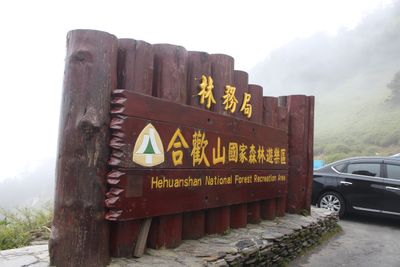
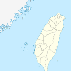
Hehuanshan National Forest Recreation Area, National forest recreation area in Ren'ai Township and Xiulin, Taiwan

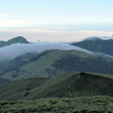
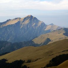
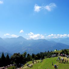
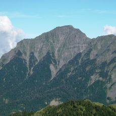
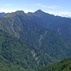
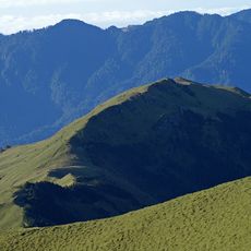
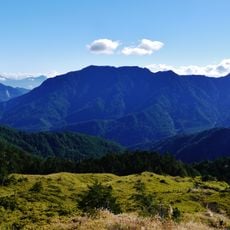
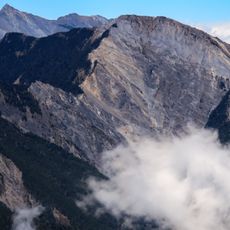
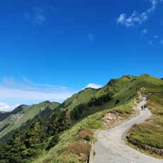
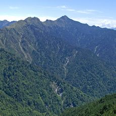
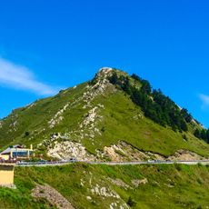
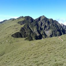
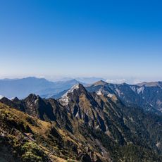
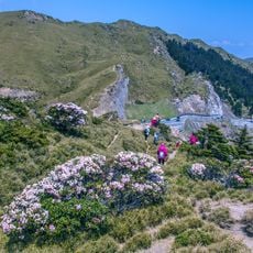
Hehuanshan National Forest Recreation Area is a mountain zone in Ren'ai Township and Xiulin, in central Taiwan, rising from around 2,300 to about 3,400 meters (7,500 to 11,150 ft). It covers several hiking trails of different lengths and a number of viewpoints that look out over the surrounding peaks of the Central Mountain Range.

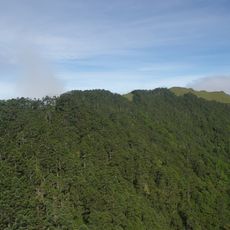
The area was designated as a national forest recreation zone as part of Taiwan's broader effort to protect mountain forests and high-altitude land. This step was part of a wider push to manage the island's interior natural resources more carefully.

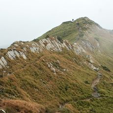
The name Hehuanshan translates roughly as Mountain of Harmonious Meeting in Chinese, reflecting the symbolic weight this high ground carries. Hikers today walk trails that cross open ridgelines where the sky and the surrounding peaks feel very close.

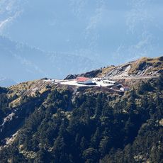
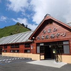
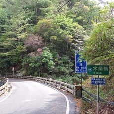
The area is reached via Provincial Highway 14A, which runs through the Central Mountain Range and can be closed after heavy rain or snow. Because of the altitude, visitors should bring warm clothing even if conditions seem mild at lower elevations.

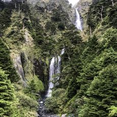
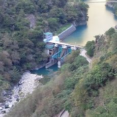
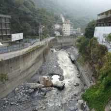
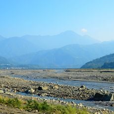
The high ground of Hehuanshan feeds three of Taiwan's main rivers, including the Dajia and the Zhuoshui, making this one of the most important water sources on the island. This hydrological role is invisible to most hikers, who come for the views rather than what flows beneath their feet.

The community of curious travelers

AroundUs brings together thousands of curated places, local tips, and hidden gems, enriched daily by 60,000 contributors worldwide.

Start exploring
Location
Location
Part of
Taroko National Park
GPS coordinates
24.14483,121.28246
Latest update
March 3, 2026 14:01
Reviews
Share your experience

No review yet

Discussions
Start a discussion...

No discussion yet

« Hehuanshan National Forest Recreation Area - National forest recreation area in Ren'ai Township and Xiulin, Taiwan » is provided by Around Us (aroundus.com). Images and texts are derived from Wikimedia project under a Creative Commons license. You are allowed to copy, distribute, and modify copies of this page, under the conditions set by the license, as long as this note is clearly visible.

Discover hidden gems everywhere you go!

From secret cafés to breathtaking viewpoints, skip the crowded tourist spots and find places that match your style. Our app makes it easy with voice search, smart filtering, route optimization, and insider tips from travelers worldwide. Download now for the complete mobile experience.

Around Us App Screenshot

A unique approach to discovering new places

Le Figaro

All the places worth exploring

France Info

A tailor-made excursion in just a few clicks

20 Minutes

Around Us
Travel Guide & Maps
Download

Send to your phone

QR Code
1

Open the camera app on your mobile.

2

Point at the QR code with your camera. A notification will appear.

3

Tap the notification to open the link.