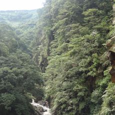
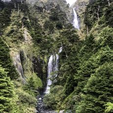
Talurwan River, Brook in Renai Township, Taiwan
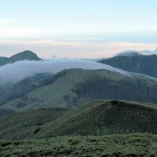
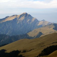
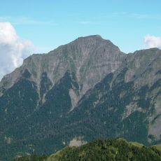
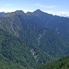
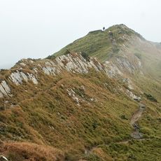
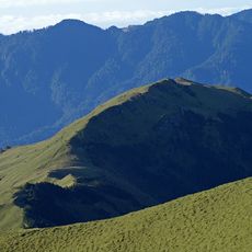
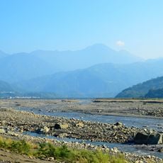
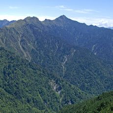
The Talurwan River flows through mountainous terrain in Nantou County, lined with natural vegetation adapted to steep slopes. The water cuts through dense forest and occasionally opens views toward nearby peaks.
During Japanese rule in 1897, military maps recorded this waterway as Motodo River, a name from the Seediq language meaning wave river. This naming reflected the colonial administration's interaction with local language and geography.
The name comes from the Seediq village of Truwan, located near where this waterway meets the Wushe River. The region still reflects the presence of this indigenous settlement.
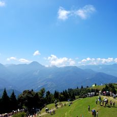
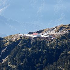
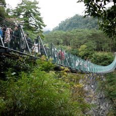
The area suits hiking and photography, especially in sections near Lushan Hot Springs where access is easier to find. Plan visits during drier months, as steep slopes can become slippery after rain.
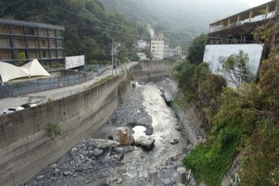
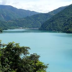
Following intense rainfall from Typhoon Sinlaku in 2008, major landslides temporarily dammed the water before collapsing. These events show how quickly the landscape can shift in this region.
The community of curious travelers
AroundUs brings together thousands of curated places, local tips, and hidden gems, enriched daily by 60,000 contributors worldwide.