
Clayton County, Administrative division in northeastern Iowa, United States.
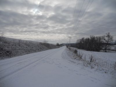
Clayton County spans across rolling hills and valleys, featuring numerous streams and rivers that flow through its agricultural and forested lands.
The county emerged as an administrative entity in 1837, during the territorial period of Iowa, marking a significant step in the state's development.
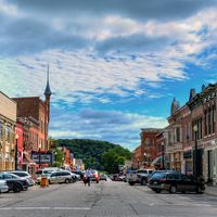
The county maintains multiple historical buildings and structures throughout its territory, reflecting the architectural styles of early European settlers.
The county seat of Elkader provides administrative services, including vehicle registration, property tax collection, and marriage license applications.
Clayton County contains natural limestone formations that create underground water systems, affecting the regional agricultural patterns and water management.
Location: Iowa
Inception: 1837
Capital city: Elkader
Shares border with: Allamakee County, Delaware County, Crawford County, Buchanan County, Grant County, Fayette County, Dubuque County, Winneshiek County
Website: http://claytoncountyia.gov
GPS coordinates: 42.84361,-91.34333
Latest update: March 29, 2025 10:13
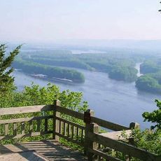
Pikes Peak State Park
22.7 km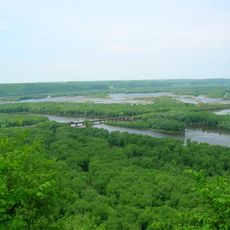
Wyalusing State Park
24.4 km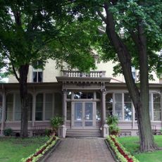
Villa Louis
28.1 km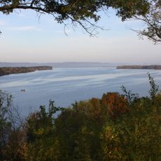
Upper Mississippi River National Wildlife and Fish Refuge
20.3 km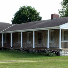
Fort Crawford
27.4 km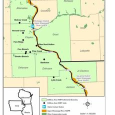
Driftless Area National Wildlife Refuge
25.2 km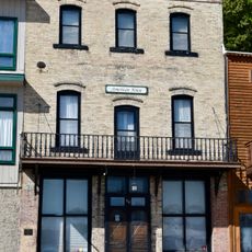
American House
24.6 km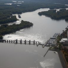
Lock and Dam No. 10
21.3 km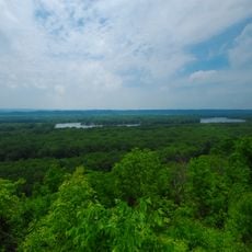
Nelson Dewey State Park
29.3 km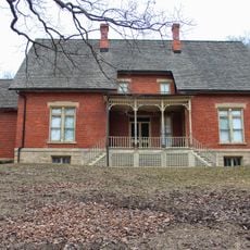
Stonefield
29 km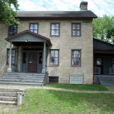
Brisbois House
27.8 km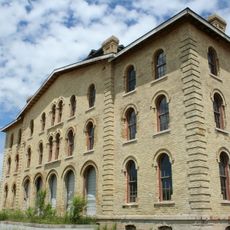
Dousman Hotel
27.8 km
Pile–Pontoon Railroad Bridge
26.1 km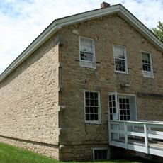
Astor Fur Warehouse
27.9 km
St. Mary's Catholic Church
21.2 km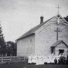
St. Joseph's Catholic Church
5 km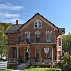
Peter Stauer House
23.5 km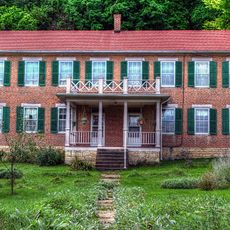
Schmidt House
5.3 km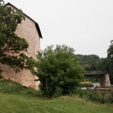
Motor Mill Historic District
4.1 km
Lakeside Ballroom
20.1 km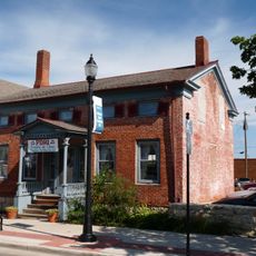
W.H.C. Folsom House
28.2 km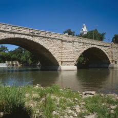
Elkader Keystone Bridge
5.1 km
Elkader Opera House
5.3 km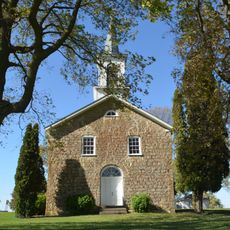
St. Peters United Evangelical Lutheran Church
12.9 km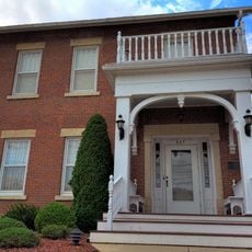
Timothy Davis House
5.5 km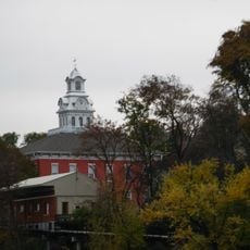
Clayton County Courthouse
5.1 km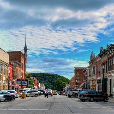
Elkader Downtown Historic District
5.1 km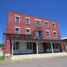
Denniston House
32.3 kmReviews
Visited this place? Tap the stars to rate it and share your experience / photos with the community! Try now! You can cancel it anytime.
Discover hidden gems everywhere you go!
From secret cafés to breathtaking viewpoints, skip the crowded tourist spots and find places that match your style. Our app makes it easy with voice search, smart filtering, route optimization, and insider tips from travelers worldwide. Download now for the complete mobile experience.

A unique approach to discovering new places❞
— Le Figaro
All the places worth exploring❞
— France Info
A tailor-made excursion in just a few clicks❞
— 20 Minutes