Enable Location

We need your location to show you interesting places around you

Discover nearby places

Find interesting locations and hidden gems around you

Precise directions

Get accurate directions and distances to places

Your location is never shared with other users. It's only used when you tap the location button.

Garland County

Log in to your account

Start exploring — it's free

Trusted by 61,362 travelers worldwide

Continue with Google
Continue with Apple
or

We will send you a code to connect

By continuing, you accept our Terms and Conditions and our Privacy Policy

Check your inbox

We've sent a pincode in your inbox. Please enter the code below.

Garland County, County of Arkansas, United States.

Description

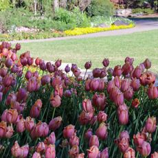
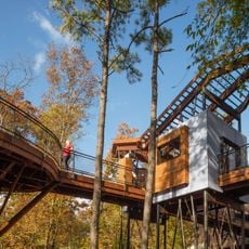
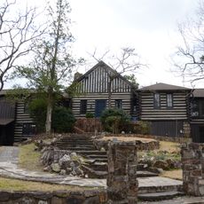
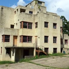
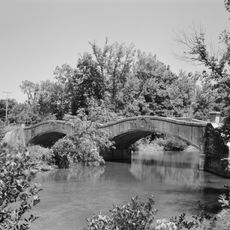
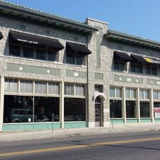
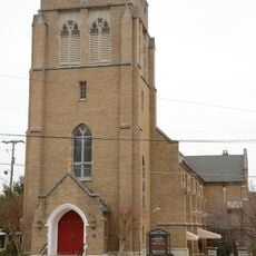
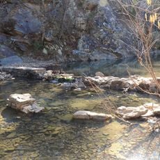
Garland County is an administrative division in central Arkansas that includes forested mountains, several lakes, and natural thermal springs. The area has both rural zones and the developed city of Hot Springs within its boundaries.

History

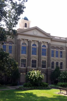
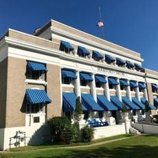
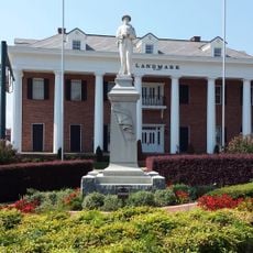
The county was established in 1873 and named after Augustus Hill Garland, a former governor of the state. Its creation marked an important moment in the territorial organization of the region.

Culture

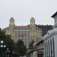
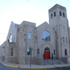
Hot Springs, the county seat, has long been known for its thermal springs, which have shaped how people in the area connect with nature and wellness. Visitors and residents alike continue to be drawn to these naturally heated waters.

Practical

Spring and fall offer the best weather for exploring the area, with comfortable temperatures and clear conditions. Most visitors can reach the region easily from major highways and nearby transportation routes.

Did you know?

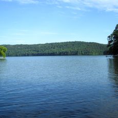
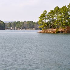
Lake Ouachita within the county holds an operating fish hatchery near Blakely Dam that works to maintain the area's fish populations. This facility operates quietly behind the scenes, often unnoticed by casual visitors enjoying the water.

Location
Inception
April 5, 1873
Capital city
Hot Springs
Shares border with
Perry County, Hot Spring County, Saline County, Montgomery County, Yell County
GPS coordinates
34.58361,-93.12750
Latest update
December 10, 2025 15:55

AroundUs brings together thousands of curated places, local tips, and hidden gems, enriched daily by 60,000 contributors worldwide. Discover all places nearby (Arkansas).

Around this place
Bathhouse Row
United States of America

Bathhouse Row

10.3 km
Arlington Hotel
United States of America

Arlington Hotel

10.1 km
Lake Hamilton and Lake Catherine
United States of America

Lake Hamilton and Lake Catherine

17.2 km
Garvan Woodland Gardens
United States of America

Garvan Woodland Gardens

18.2 km
Bill Clinton Boyhood Home
United States of America

Bill Clinton Boyhood Home

9.5 km
Hot Springs Mountain Tower
United States of America

Hot Springs Mountain Tower

10.5 km
X-Coaster
United States of America

X-Coaster

12.6 km
Arkansas Twister
United States of America

Arkansas Twister

12.5 km
Medical Arts Building
United States of America

Medical Arts Building

10.1 km
Mid-America Science Museum
United States of America

Mid-America Science Museum

7.6 km
Malco Theatre
United States of America

Malco Theatre

10.6 km
Jack Tar Hotel and Bathhouse
United States of America

Jack Tar Hotel and Bathhouse

9.5 km
Couchwood
United States of America

Couchwood

24.7 km
Interstate Orphanage
United States of America

Interstate Orphanage

11.8 km
Lake Catherine State Park
United States of America

Lake Catherine State Park

25.7 km
Mountainaire Hotel Historic District
United States of America

Mountainaire Hotel Historic District

9.8 km
Lake Catherine State Park CCC Cabins
United States of America

Lake Catherine State Park CCC Cabins

25.5 km
South Fork Bridge
United States of America

South Fork Bridge

18.9 km
First Presbyterian Church
United States of America

First Presbyterian Church

9.8 km
Hamp Williams Building
United States of America

Hamp Williams Building

10.6 km
St. Luke's Episcopal Church
United States of America

St. Luke's Episcopal Church

10.7 km
Hot Springs Confederate Monument
United States of America

Hot Springs Confederate Monument

10.7 km
Stitt House
United States of America

Stitt House

9.4 km
Van Lyell House
United States of America

Van Lyell House

16.6 km
W. C. Brown House
United States of America

W. C. Brown House

12.2 km
Camp Clearfork
United States of America

Camp Clearfork

25.7 km
Federal Building-U.S. Post Office and Court House
United States of America

Federal Building-U.S. Post Office and Court House

10.5 km
Iron Springs Recreation Area
United States of America

Iron Springs Recreation Area

20.5 km
Show the full map
Administrative divisions
« Garland County - County of Arkansas, United States » is provided by Around Us (aroundus.com). Images and texts are derived from Wikimedia project under a Creative Commons license. You are allowed to copy, distribute, and modify copies of this page, under the conditions set by the license, as long as this note is clearly visible.

Discover hidden gems everywhere you go!

From secret cafés to breathtaking viewpoints, skip the crowded tourist spots and find places that match your style. Our app makes it easy with voice search, smart filtering, route optimization, and insider tips from travelers worldwide. Download now for the complete mobile experience.

Around Us App Screenshot

A unique approach to discovering new places

Le Figaro

All the places worth exploring

France Info

A tailor-made excursion in just a few clicks

20 Minutes

Around Us
Travel Guide & Maps
Download

Send to your phone

QR Code
1

Open the camera app on your mobile.

2

Point at the QR code with your camera. A notification will appear.

3

Tap the notification to open the link.