Enable Location

We need your location to show you interesting places around you

Discover nearby places

Find interesting locations and hidden gems around you

Precise directions

Get accurate directions and distances to places

Your location is never shared with other users. It's only used when you tap the location button.

Columbia County

Log in to your account

Start exploring — it's free

Trusted by 62,421 travelers worldwide

Continue with Google
Continue with Apple
or

We will send you a code to connect

By continuing, you accept our Terms and Conditions and our Privacy Policy

Check your inbox

We've sent a pincode in your inbox. Please enter the code below.

Columbia County, County in New York, United States

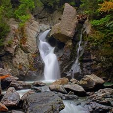
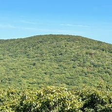
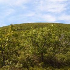
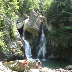
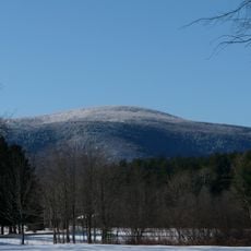
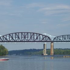
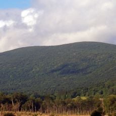
Columbia County is an administrative division in eastern New York spanning hilly and mountainous terrain. The area is marked by river valleys that connect lowlands with higher elevations across the landscape.

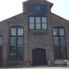
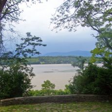
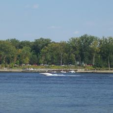
The area was first inhabited by Mohican Indians before Dutch traders established posts along the Hudson River starting in 1612. These early trading contacts shaped settlement and economic development across the region.

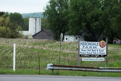
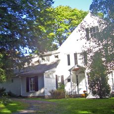
The region keeps alive farming traditions and rural ways of life that shape daily routines today. Visitors still see farms producing local goods and supplying regional markets.

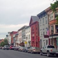
The county contains several small towns and villages scattered across its territory providing local services to residents and visitors. Fall offers ideal conditions for exploring the landscape when foliage shifts color throughout the region.

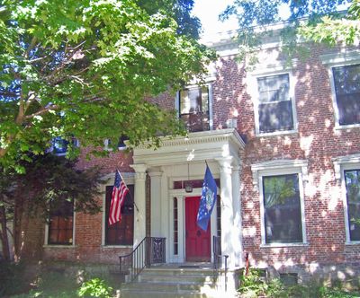
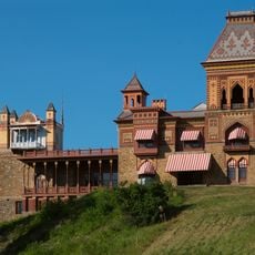
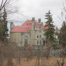
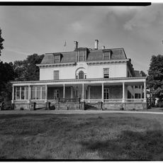
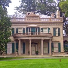
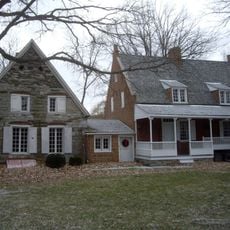
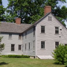
Refugees from the Palatinate region arrived in the early 1700s and founded settlements that still influence religious institutions and community life. These settlers left marks in architecture and customs that visitors can still notice today.

The community of curious travelers

AroundUs brings together thousands of curated places, local tips, and hidden gems, enriched daily by 60,000 contributors worldwide.

Start exploring
Location
Inception
1786
Capital city
Hudson
Shares border with
Rensselaer County, Dutchess County, Ulster County, Greene County, Albany County, Berkshire County
GPS coordinates
42.25000,-73.63000
Latest update
December 14, 2025 19:07
Around this place
Olana State Historic Site
United States of America

Olana State Historic Site

16.8 km
Bash Bish Falls
United States of America

Bash Bish Falls

18.8 km
Rip Van Winkle Bridge
United States of America

Rip Van Winkle Bridge

18.4 km
Mount Frissell
United States of America

Mount Frissell

25.3 km
Searles Castle
United States of America

Searles Castle

23 km
Bear Mountain
United States of America

Bear Mountain

27 km
Rokeby
United States of America

Rokeby

38 km
Basilica Hudson
United States of America

Basilica Hudson

13.7 km
Bash Bish Falls State Park
United States of America

Bash Bish Falls State Park

18.5 km
Mount Everett
United States of America

Mount Everett

23.2 km
Richard B. Fisher Center for the Performing Arts
United States of America

Richard B. Fisher Center for the Performing Arts

33.2 km
Clermont State Historic Site
United States of America

Clermont State Historic Site

30.1 km
United States of America

Bard Graduate Center

34.8 km
Montgomery Place
United States of America

Montgomery Place

35.4 km
United States of America

Taconic State Park

17.1 km
Castleton Bridge
United States of America

Castleton Bridge

31.3 km
United States of America

Lake Taghkanic State Park

18.8 km
Alfred H. Smith Memorial Bridge
United States of America

Alfred H. Smith Memorial Bridge

31.2 km
Bronck House
United States of America

Bronck House

20.7 km
United States of America

Bard College Campus

34.1 km
Steepletop
United States of America

Steepletop

17.2 km
W.E.B. Du Bois Boyhood Homesite
United States of America

W.E.B. Du Bois Boyhood Homesite

21.1 km
Brace Mountain
United States of America

Brace Mountain

25.5 km
United States of America

Jacob Rutsen Van Rensselaer House and Mill Complex

7.4 km
Mount Washington State Forest
United States of America

Mount Washington State Forest

18.1 km
United States of America

Alander Mountain

20.8 km
Schodack Island State Park
United States of America

Schodack Island State Park

29.4 km
Colonel John Ashley House
United States of America

Colonel John Ashley House

31 km
Show the full map
Administrative divisions
« Columbia County - County in New York, United States » is provided by Around Us (aroundus.com). Images and texts are derived from Wikimedia project under a Creative Commons license. You are allowed to copy, distribute, and modify copies of this page, under the conditions set by the license, as long as this note is clearly visible.

Discover hidden gems everywhere you go!

From secret cafés to breathtaking viewpoints, skip the crowded tourist spots and find places that match your style. Our app makes it easy with voice search, smart filtering, route optimization, and insider tips from travelers worldwide. Download now for the complete mobile experience.

Around Us App Screenshot

A unique approach to discovering new places

Le Figaro

All the places worth exploring

France Info

A tailor-made excursion in just a few clicks

20 Minutes

Around Us
Travel Guide & Maps
Download

Send to your phone

QR Code
1

Open the camera app on your mobile.

2

Point at the QR code with your camera. A notification will appear.

3

Tap the notification to open the link.