Enable Location

We need your location to show you interesting places around you

Discover nearby places

Find interesting locations and hidden gems around you

Precise directions

Get accurate directions and distances to places

Your location is never shared with other users. It's only used when you tap the location button.

Kent County

Log in to your account

Start exploring — it's free

Trusted by 61,371 travelers worldwide

Continue with Google
Continue with Apple
or

We will send you a code to connect

By continuing, you accept our Terms and Conditions and our Privacy Policy

Check your inbox

We've sent a pincode in your inbox. Please enter the code below.

Kent County, Administrative county in western Michigan, United States.

Description

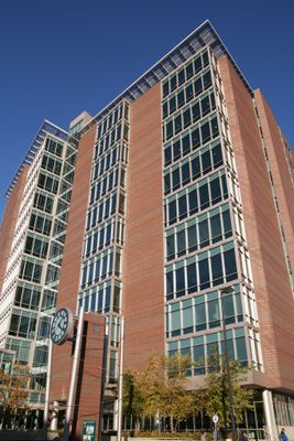
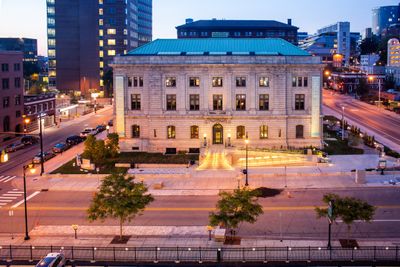
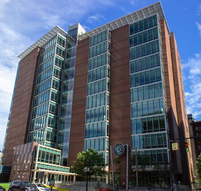
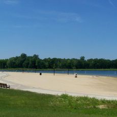
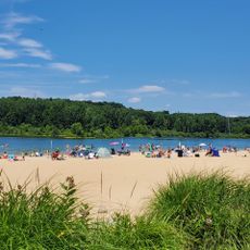
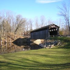
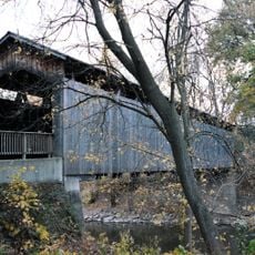
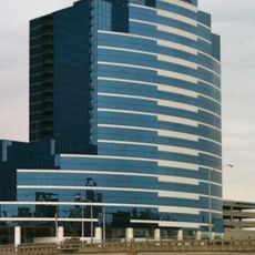
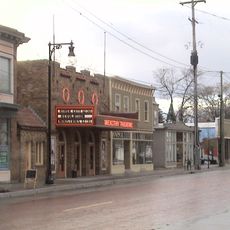
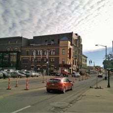
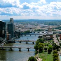
Kent County is an administrative division in western Michigan that encompasses the city of Grand Rapids and various green spaces throughout the area. The territory is shaped by the Grand River valley and offers diverse landscapes across the region.

History

The county was established in 1831 and named after James Kent, a legal scholar from Michigan Territory who influenced regional governance. His background shaped the area's early administrative identity.

Culture

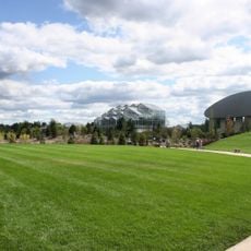
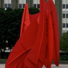
The Frederik Meijer Gardens displays plant collections and outdoor sculptures that draw visitors from across the region. The grounds invite leisurely walks and blend natural spaces with creative installations.

Practical

The Gerald R. Ford International Airport connects the county to destinations across North America with regular service. Visitors can access the area easily through this transportation hub and then explore locally.

Did you know?

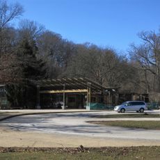
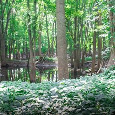
Fisk Knob Park marks the highest elevation point in the county and offers views across the surrounding landscape. This spot provides a quiet place for walking and observing nature away from the larger towns.

Location
Inception
1831
Capital city
Grand Rapids
Shares border with
Newaygo County, Montcalm County, Muskegon County, Ionia County, Ottawa County, Allegan County, Barry County
GPS coordinates
43.03000,-85.55000
Latest update
December 14, 2025 18:58

AroundUs brings together thousands of curated places, local tips, and hidden gems, enriched daily by 60,000 contributors worldwide. Discover all places nearby (Michigan).

Around this place
Gerald R. Ford Presidential Museum
United States of America

Gerald R. Ford Presidential Museum

12.4 km
Meyer May House
United States of America

Meyer May House

12.3 km
Frederik Meijer Gardens & Sculpture Park
United States of America

Frederik Meijer Gardens & Sculpture Park

6.3 km
John Ball Zoo
United States of America

John Ball Zoo

14.7 km
La Grande Vitesse
United States of America

La Grande Vitesse

11.9 km
Grand Castle
United States of America

Grand Castle

21.3 km
DeVos Place
United States of America

DeVos Place

12.1 km
Heritage Hill Historic District
United States of America

Heritage Hill Historic District

11.6 km
Ramona Park
United States of America

Ramona Park

10.4 km
River House Condominiums
United States of America

River House Condominiums

12.3 km
Catholic Central High School
United States of America

Catholic Central High School

12.5 km
Norton Mound Group
United States of America

Norton Mound Group

17.4 km
Millennium Park
United States of America

Millennium Park

18.8 km
Berkey and Gay Furniture Company Factory
United States of America

Berkey and Gay Furniture Company Factory

11.4 km
Public Museum of Grand Rapids
United States of America

Public Museum of Grand Rapids

12.6 km
Grand Rapids Art Museum
United States of America

Grand Rapids Art Museum

12.2 km
Millennium Park Beach
United States of America

Millennium Park Beach

19.3 km
President Gerald R. Ford, Jr. Boyhood Home
United States of America

President Gerald R. Ford, Jr. Boyhood Home

12.3 km
Fallasburg Bridge
United States of America

Fallasburg Bridge

18.9 km
McKay Tower
United States of America

McKay Tower

12.2 km
Ada Covered Bridge
United States of America

Ada Covered Bridge

10.1 km
Bridgewater Place, Grand Rapids
United States of America

Bridgewater Place, Grand Rapids

12.2 km
Wealthy Theatre
United States of America

Wealthy Theatre

11.1 km
Grand Rapids Civic Theatre & School of Theatre Arts
United States of America

Grand Rapids Civic Theatre & School of Theatre Arts

12.1 km
Paddock Place
United States of America

Paddock Place

10.9 km
Roger B. Chaffee Planetarium
United States of America

Roger B. Chaffee Planetarium

12.6 km
Belknap Hill
United States of America

Belknap Hill

11.5 km
Sixth Street Bridge
United States of America

Sixth Street Bridge

11.7 km
Show the full map
Administrative divisions
« Kent County - Administrative county in western Michigan, United States » is provided by Around Us (aroundus.com). Images and texts are derived from Wikimedia project under a Creative Commons license. You are allowed to copy, distribute, and modify copies of this page, under the conditions set by the license, as long as this note is clearly visible.

Discover hidden gems everywhere you go!

From secret cafés to breathtaking viewpoints, skip the crowded tourist spots and find places that match your style. Our app makes it easy with voice search, smart filtering, route optimization, and insider tips from travelers worldwide. Download now for the complete mobile experience.

Around Us App Screenshot

A unique approach to discovering new places

Le Figaro

All the places worth exploring

France Info

A tailor-made excursion in just a few clicks

20 Minutes

Around Us
Travel Guide & Maps
Download

Send to your phone

QR Code
1

Open the camera app on your mobile.

2

Point at the QR code with your camera. A notification will appear.

3

Tap the notification to open the link.