
Aaronsburg, census designated place in Centre County, Pennsylvania, USA
Bald Eagle State Park
20.1 km
R. B. Winter State Park
24.5 km
Bald Eagle State Forest
14.9 km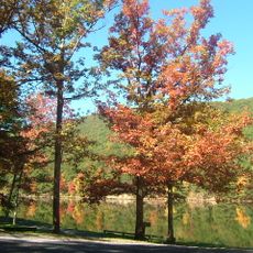
Poe Valley State Park
8.9 km
Poe Paddy State Park
8.1 km
Reeds Gap State Park
20 km
Snyder Middleswarth Natural Area
17.6 km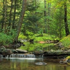
McCalls Dam State Park
26.2 km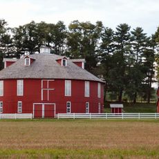
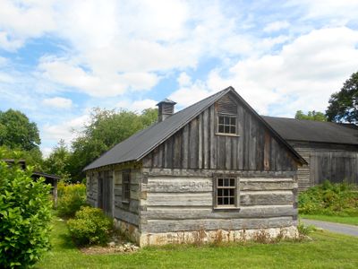
Neff Round Barn
22.9 km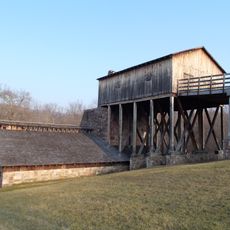
Curtin Village
25.6 km
Piper Aviation Museum
26 km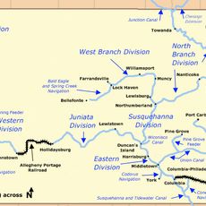
Bald Eagle and Spring Creek Navigation
21.3 km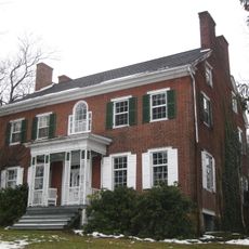
Christian Bechdel II House
21.7 km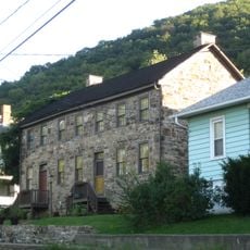
Nathan Harvey House
23.4 km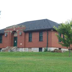
Bellefonte Armory
25.6 km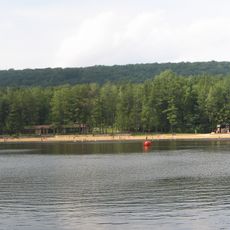
Halfway Lake
24.3 km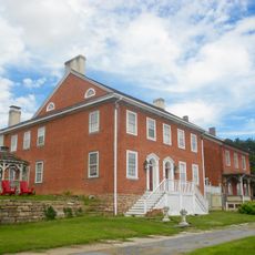
Aaronsburg Historic District
62 m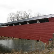
Millmont Red Bridge
25.2 km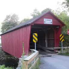
Logan Mills Covered Bridge
12.9 km
Millheim Historic District
2.2 km
Maj. John Neff Homestead
24.7 km
Centre Mills
3.2 km
Logan Mills Gristmill
13.1 km
Rebersburg Historic District
4.9 km
Andrew Gregg Homestead
16.2 km
William Allison House
12.1 km
Maj. Jared B. Fisher House
9.7 km
Simon Pickle Stone House
5.8 kmVisited this place? Tap the stars to rate it and share your experience / photos with the community! Try now! You can cancel it anytime.
Discover hidden gems everywhere you go!
From secret cafés to breathtaking viewpoints, skip the crowded tourist spots and find places that match your style. Our app makes it easy with voice search, smart filtering, route optimization, and insider tips from travelers worldwide. Download now for the complete mobile experience.

A unique approach to discovering new places❞
— Le Figaro
All the places worth exploring❞
— France Info
A tailor-made excursion in just a few clicks❞
— 20 Minutes