Poe Paddy State Park, State park at creek confluence in Haines Township, United States.
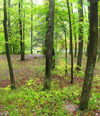
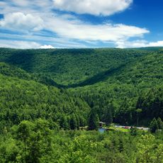
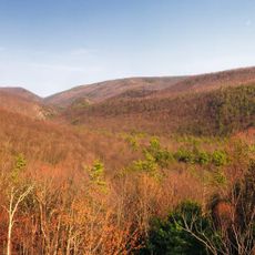
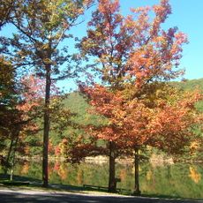
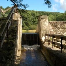
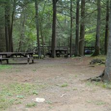
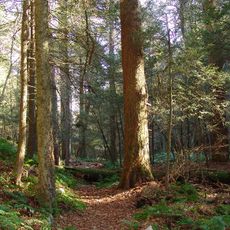
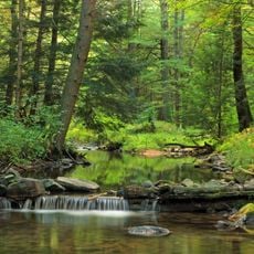
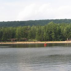
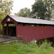
Poe Paddy State Park is a Pennsylvania state park where Big Poe Creek meets Penns Creek, set within the Bald Eagle State Forest. The grounds offer rustic camping areas and hiking trails that wind through the surrounding forested hills.
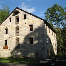
The land was once home to Poe Mills, a small lumber settlement that grew during the logging boom of the late 1800s. When the forests were cleared and the industry declined, the community disappeared and the land was eventually set aside as a state park.
The Pennsylvania Mid State Trail passes through the park and links it to a wide network of paths across the region. Hikers walking this route move through land that has been used for outdoor recreation for generations.
The park is open to campers from April through December and provides basic facilities including drinking water and toilets. Hikers should wear sturdy footwear and keep in mind that trail conditions change depending on the season.
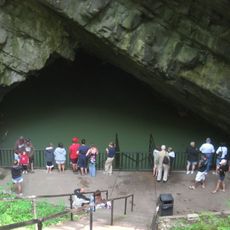
An old railroad tunnel cuts through Paddy Mountain and is now open to hikers, running about 250 feet (76 meters) through solid rock. The tunnel is part of an active hiking route, so walkers pass through it as a natural step along the trail.
The community of curious travelers
AroundUs brings together thousands of curated places, local tips, and hidden gems, enriched daily by 60,000 contributors worldwide.