Bald Eagle State Forest, Nature reserve in Lycoming County, United States.
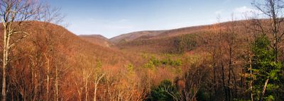
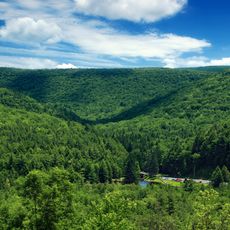
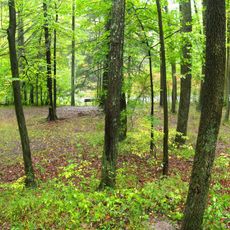
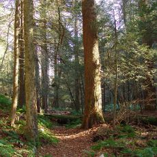
Bald Eagle State Forest is a large protected woodland in Pennsylvania featuring steep sandstone ridges and diverse forest types. The land includes open woodlands, stream valleys, and mountain ranges that stretch across the protected area.
The forest was established in the early 1900s to protect woodlands and water resources in central Pennsylvania. It developed from a heavily used area into an important conservation zone managed for long-term forest health.
The forest takes its name from the bald eagles that inhabit the area in significant numbers, drawing many visitors who come specifically to observe these birds. Watching them nest in tall trees remains a memorable experience for people exploring the woods.
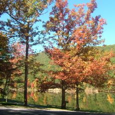
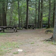
The forest is accessible through several entrances and offers trails for all levels, from easy walks to more challenging hikes. Visitors should bring sturdy shoes and weather-resistant clothing, especially when exploring the steeper ridge areas.
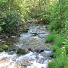
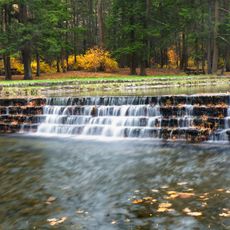
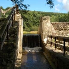
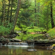
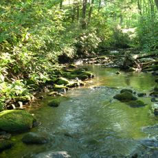
The forest supplies pure drinking water to several surrounding communities from underground sources, a function that remains completely invisible to most visitors. This water role is one of the area's most critical contributions to the region.
The community of curious travelers
AroundUs brings together thousands of curated places, local tips, and hidden gems, enriched daily by 60,000 contributors worldwide.