Enable Location

We need your location to show you interesting places around you

Discover nearby places

Find interesting locations and hidden gems around you

Precise directions

Get accurate directions and distances to places

Your location is never shared with other users. It's only used when you tap the location button.

Marshall County

Log in to your account

Start exploring — it's free

Trusted by 62,764 travelers worldwide

Continue with Google
Continue with Apple
or

We will send you a code to connect

By continuing, you accept our Terms and Conditions and our Privacy Policy

Check your inbox

We've sent a pincode in your inbox. Please enter the code below.

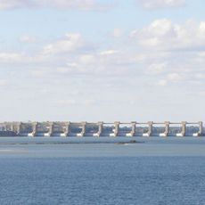
Marshall County, County administrative division in Kentucky, United States.

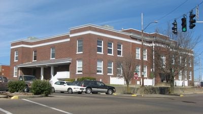
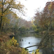
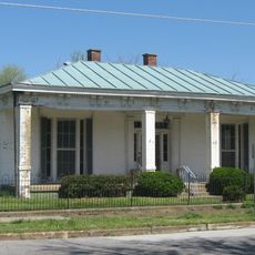
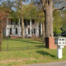
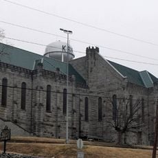
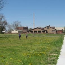
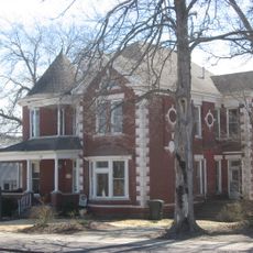
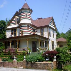
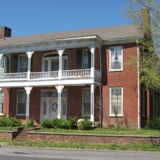
Marshall County is a county in Kentucky that includes residential neighborhoods, commercial areas, and farmland spread across its territory. The administrative center operates from Benton, where county offices manage local government functions.

Kentucky established Marshall County on February 12, 1842 as an administrative division with Benton designated as its seat. The creation came during a period of regional reorganization and development across the state.

Local government meetings in Marshall County maintain regular schedules, enabling citizens to participate in discussions about community development and regional planning.

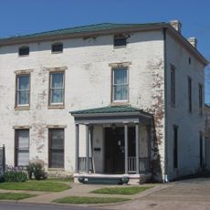
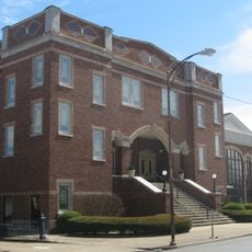
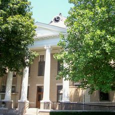
County services and records are available at administrative offices based in Benton for residents and visitors needing permits or documentation. The main county buildings are located downtown where different departments operate.

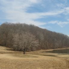
The county administration implements specialized programs for land management, including coordinated efforts to maintain agricultural and residential property standards.

The community of curious travelers

AroundUs brings together thousands of curated places, local tips, and hidden gems, enriched daily by 60,000 contributors worldwide.

Start exploring
Location
Inception
February 12, 1842
Capital city
Benton
Shares border with
Livingston County, Lyon County, Trigg County, Calloway County, Graves County, McCracken County
GPS coordinates
36.88000,-88.34000
Latest update
December 20, 2025 15:44
Around this place
Land Between the Lakes National Recreation Area
United States of America

Land Between the Lakes National Recreation Area

23.8 km
Kentucky Lake
United States of America

Kentucky Lake

16 km
Kentucky State Penitentiary
United States of America

Kentucky State Penitentiary

30 km
Lake Barkley
United States of America

Lake Barkley

18.8 km
Kincaid Mounds State Historic Site
United States of America

Kincaid Mounds State Historic Site

26.1 km
Kentucky Dam
United States of America

Kentucky Dam

16.1 km
CFSB Center
United States of America

CFSB Center

28.7 km
Kenlake State Resort Park
United States of America

Kenlake State Resort Park

22 km
Confederate Monument in Murray
United States of America

Confederate Monument in Murray

30.2 km
Roy Stewart Stadium
United States of America

Roy Stewart Stadium

28.9 km
Eggner's Ferry Bridge
United States of America

Eggner's Ferry Bridge

23 km
Kentucky Dam Village State Resort Park
United States of America

Kentucky Dam Village State Resort Park

14.6 km
Smithland Lock and Dam
United States of America

Smithland Lock and Dam

32.8 km
Clarks River National Wildlife Refuge
United States of America

Clarks River National Wildlife Refuge

2.1 km
Lloyd Tilghman House
United States of America

Lloyd Tilghman House

32.5 km
Cherokee State Park
United States of America

Cherokee State Park

22.4 km
David Yeiser House
United States of America

David Yeiser House

33 km
First Baptist Church
United States of America

First Baptist Church

30.3 km
First Christian Church
United States of America

First Christian Church

30.1 km
Oak Hill
United States of America

Oak Hill

16.8 km
Old Eddyville Historic District
United States of America

Old Eddyville Historic District

30 km
Masonic Temple
United States of America

Masonic Temple

32.1 km
Edwin S. Diuguid House
United States of America

Edwin S. Diuguid House

30.2 km
Thomas Lawson House
United States of America

Thomas Lawson House

16.6 km
Calloway County Courthouse
United States of America

Calloway County Courthouse

30.2 km
Richard Olive House
United States of America

Richard Olive House

29.4 km
Pete Lyles House
United States of America

Pete Lyles House

16.2 km
Masonic Hall-Federal Commissary Building
United States of America

Masonic Hall-Federal Commissary Building

29.6 km
Show the full map
« Marshall County - County administrative division in Kentucky, United States » is provided by Around Us (aroundus.com). Images and texts are derived from Wikimedia project under a Creative Commons license. You are allowed to copy, distribute, and modify copies of this page, under the conditions set by the license, as long as this note is clearly visible.

Discover hidden gems everywhere you go!

From secret cafés to breathtaking viewpoints, skip the crowded tourist spots and find places that match your style. Our app makes it easy with voice search, smart filtering, route optimization, and insider tips from travelers worldwide. Download now for the complete mobile experience.

Around Us App Screenshot

A unique approach to discovering new places

Le Figaro

All the places worth exploring

France Info

A tailor-made excursion in just a few clicks

20 Minutes

Around Us
Travel Guide & Maps
Download

Send to your phone

QR Code
1

Open the camera app on your mobile.

2

Point at the QR code with your camera. A notification will appear.

3

Tap the notification to open the link.