Dorchester County, Administrative county in Eastern Shore of Maryland, United States.
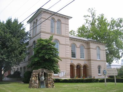
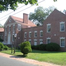
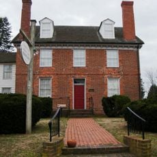
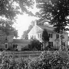
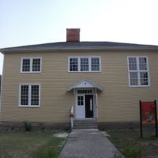
Dorchester County is an administrative division on Maryland's Eastern Shore, with Cambridge serving as its seat of government. The county contains a mix of waterways, coastal areas, and rural farmland that shape its character.
The county was founded in 1668 and named after Edward Sackville, the 4th Earl of Dorset, during Maryland's early colonial period. These roots established the foundation for the community that developed along its waterways over the following centuries.
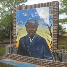
The region holds deep roots in the story of Harriet Tubman, who helped people escape slavery from this area and whose legacy remains part of local identity. Visitors can explore sites connected to this history and understand how the community honors this important chapter.
Visitors should plan time to explore multiple towns and neighborhoods throughout the county to get a full sense of the area. Checking local websites and visitor resources before visiting helps you find events, attractions, and services that match your interests.
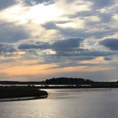
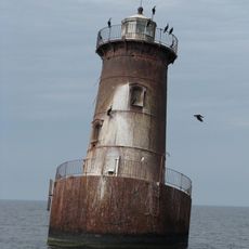
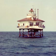
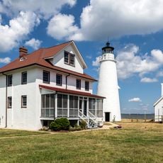
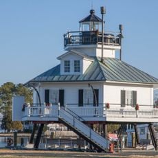
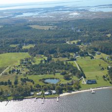
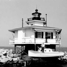
Water and wetlands dominate much of the county's landscape, creating an environment unlike typical inland regions. This water-filled terrain gives the area a distinct character that shapes everything from wildlife to how communities are connected.
The community of curious travelers
AroundUs brings together thousands of curated places, local tips, and hidden gems, enriched daily by 60,000 contributors worldwide.