Iron Mountain

Log in to your account

AroundUs is a community-driven map of interesting places, built by curious explorers like you. It grows with every review, story, and photo you share.
Connect to save your favorite spots, contribute locations, and create personalized routes.
Continue with Google
Continue with Apple
Continue with X
Continue with Facebook
Continue with email
By continuing, you accept our Terms and Conditions and our Privacy Policy
Create an account
Add to collection
Map
Suggest a change
Share

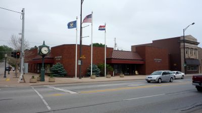
Iron Mountain, Administrative center in Upper Peninsula, Michigan, United States.

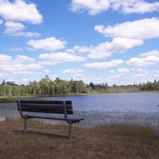
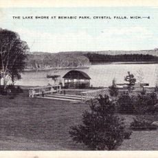
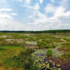
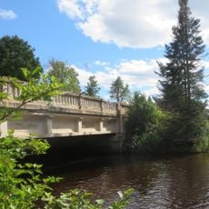
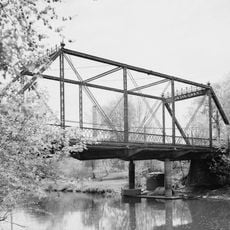
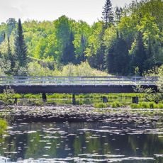
Iron Mountain is a city in Michigan's Upper Peninsula in the northern United States. The area features lakes, rivers, and natural landscapes set at an elevation of 347 meters above sea level.

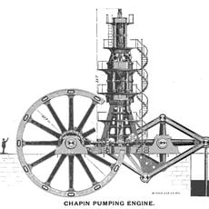
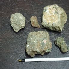
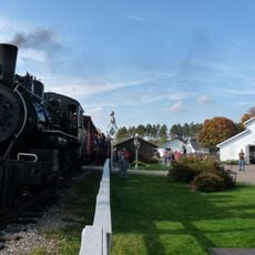
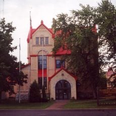
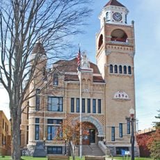
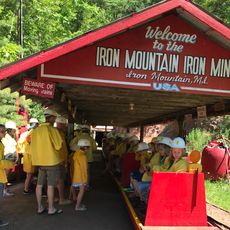
The city began in 1879 during the iron ore mining boom in the region. This mining tradition shaped the community's growth until it became a city in 1889.

The town keeps its mining past alive through community gatherings and bocce ball, a game deeply rooted in local tradition. You can feel this connection to earlier times woven into how people here spend their leisure.

Ford Airport and US highways 2 and 141 connect the city to surrounding areas. Visitors have several options for reaching and traveling through the region.

The Millie Hill Mine serves as a winter shelter for bat colonies in the region. The underground chambers provide these animals with protected spaces during the cold months.

Location: Dickinson County

Inception: 1879

Elevation above the sea: 347 m

Website: http://cityofironmountain.com

GPS coordinates: 45.82250,-88.06420

Latest update: December 14, 2025 18:19

Photos
Around this place
Iron County MRA
United States of America

Iron County MRA

45.7 km
Chapin Mine Steam Pump Engine
United States of America

Chapin Mine Steam Pump Engine

529 m
Governor Thompson State Park
United States of America

Governor Thompson State Park

56.2 km
United States of America

Dave's Falls

36.8 km
Bewabic State Park
United States of America

Bewabic State Park

41.2 km
Lake Ellen Kimberlite
United States of America

Lake Ellen Kimberlite

40.2 km
United States of America

Lumberjack Steam Train

56.2 km
Iron Mountain Central Historic District
United States of America

Iron Mountain Central Historic District

404 m
Peshtigo River State Forest
United States of America

Peshtigo River State Forest

60.2 km
IXL Historical Museum
United States of America

IXL Historical Museum

37.7 km
Camp Five Museum
United States of America

Camp Five Museum

56.9 km
Upper Twin Falls Bridge
United States of America

Upper Twin Falls Bridge

6.2 km
Central School
United States of America

Central School

53.9 km
Dickinson County Courthouse and Jail
United States of America

Dickinson County Courthouse and Jail

602 m
Ardis Furnace
United States of America

Ardis Furnace

1.8 km
Grandma Lake Wetlands State Natural Area
United States of America

Grandma Lake Wetlands State Natural Area

42.6 km
Florence County Courthouse and Jail
United States of America

Florence County Courthouse and Jail

18 km
Iron County Courthouse
United States of America

Iron County Courthouse

37 km
Armstrong Creek Bridge
United States of America

Armstrong Creek Bridge

35.9 km
County Road 557–West Branch Escanaba River Bridge
United States of America

County Road 557–West Branch Escanaba River Bridge

58.9 km
Iron Mountain Iron Mine
United States of America

Iron Mountain Iron Mine

16.2 km
Fern School
United States of America

Fern School

25 km
Menominee River Park Archeological District
United States of America

Menominee River Park Archeological District

4.9 km
Grand Avenue Bridge
United States of America

Grand Avenue Bridge

40.1 km
Chicagon Mine Road–Chicagon Creek Bridge
United States of America

Chicagon Mine Road–Chicagon Creek Bridge

45.9 km
Lumberjack Steam Train & Camp 5 Museum
United States of America

Lumberjack Steam Train & Camp 5 Museum

56.2 km
World War II Glider and Military Museum
United States of America

World War II Glider and Military Museum

559 m
M 189 / W 139 Highway Bridge over Brule River
United States of America

M 189 / W 139 Highway Bridge over Brule River

49.1 km
Show the full map
Reviews

Visited this place? Tap the stars to rate it and share your experience / photos with the community! Try now! You can cancel it anytime.

« Iron Mountain - Administrative center in Upper Peninsula, Michigan, United States » is provided by Around Us (aroundus.com). Images and texts are derived from Wikimedia project under a Creative Commons license. You are allowed to copy, distribute, and modify copies of this page, under the conditions set by the license, as long as this note is clearly visible.

Discover hidden gems everywhere you go!

From secret cafés to breathtaking viewpoints, skip the crowded tourist spots and find places that match your style. Our app makes it easy with voice search, smart filtering, route optimization, and insider tips from travelers worldwide. Download now for the complete mobile experience.

Around Us App Screenshot

A unique approach to discovering new places

Le Figaro

All the places worth exploring

France Info

A tailor-made excursion in just a few clicks

20 Minutes