Dickinson County, Administrative county in Upper Peninsula, Michigan, United States
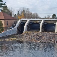
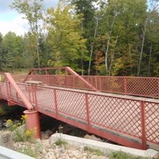
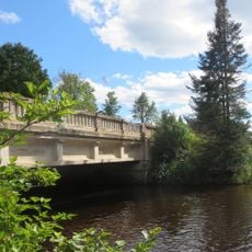
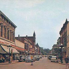
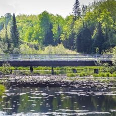
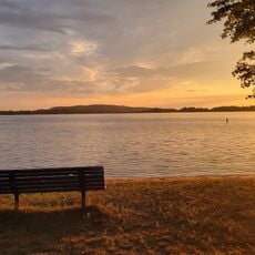
Dickinson County is an administrative division in Michigan's Upper Peninsula that contains forests and waterways across a rural landscape. Iron Mountain serves as the county seat where government services operate.
Michigan's state legislature created this county in 1891 by combining sections from three neighboring counties. The decision reflected efforts to better organize government administration across the Upper Peninsula.
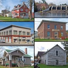
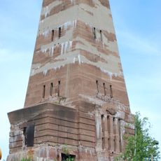
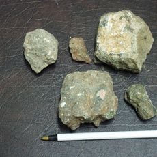
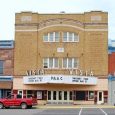
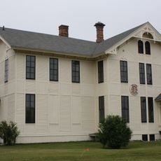
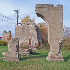
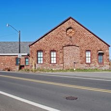
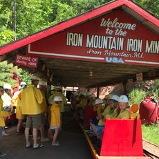
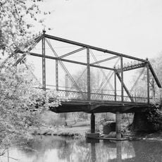
The mining past shapes how locals and visitors understand this region, visible through museums and old structures that tell the story of industrial work. People today walk through these places and see how mining shaped the communities that remain.
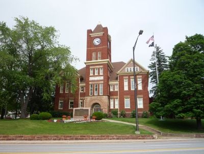
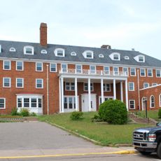
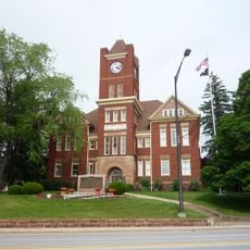
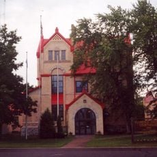
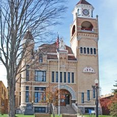
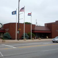
Government offices and county services are based in Iron Mountain, where you can find information about local regulations and community resources. Timing your visit during business hours ensures you reach the officials and staff who handle county matters.
The county takes its name from Donald M. Dickinson, who served as Postmaster General under President Grover Cleveland during the 1880s. Few visitors realize this connection links their visit to a figure in late-nineteenth-century American politics.
Location: Michigan
Inception: 1891
Capital city: Iron Mountain
Shares border with: Marquette County, Menominee County, Marinette County, Florence County, Iron County
Website: http://dickinsoncountymi.gov
GPS coordinates: 46.00000,-87.87000
Latest update: December 7, 2025 19:28
Iron County MRA
49.9 km
Cliffs Shaft Mine Museum
56.7 km
Chapin Mine Steam Pump Engine
24.9 kmDave's Falls
56.8 km
Bewabic State Park
44.6 km
Lake Ellen Kimberlite
30.6 km
Mather Inn
56.9 km
Iron Mountain Central Historic District
25.2 km
Crystal Falls Dam and Power Plant
37.8 km
Vista Theater
55.4 km
IXL Historical Museum
38.3 km
Upper Twin Falls Bridge
21.1 km
Dickinson County Courthouse and Jail
25.2 km
Ardis Furnace
23 km
Florence County Courthouse and Jail
30.6 km
Iron County Courthouse
37.5 km
Ishpeming Municipal Building
56.5 km
Armstrong Creek Bridge
60 km
County Road 557–West Branch Escanaba River Bridge
35.5 km
Cleveland Mine Engine House Number 3
56.8 km
Iron Mountain Iron Mine
24.2 km
Ishpeming Main Street Historic District
56.6 km
Menominee River Park Archeological District
29.6 km
Fern School
44 km
Grand Avenue Bridge
54.6 km
Chicagon Mine Road–Chicagon Creek Bridge
50.5 km
Lake Antoine Beach
21.1 km
Reine utsiktspunkt
50.7 kmVisited this place? Tap the stars to rate it and share your experience / photos with the community! Try now! You can cancel it anytime.
Discover hidden gems everywhere you go!
From secret cafés to breathtaking viewpoints, skip the crowded tourist spots and find places that match your style. Our app makes it easy with voice search, smart filtering, route optimization, and insider tips from travelers worldwide. Download now for the complete mobile experience.
A unique approach to discovering new places❞
— Le Figaro
All the places worth exploring❞
— France Info
A tailor-made excursion in just a few clicks❞
— 20 Minutes