Dixville Notch, Electoral community in Dixville township, New Hampshire, United States.
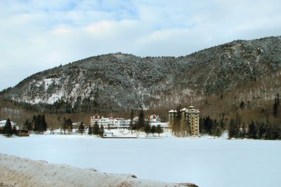
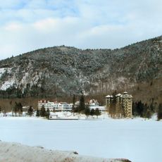
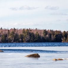
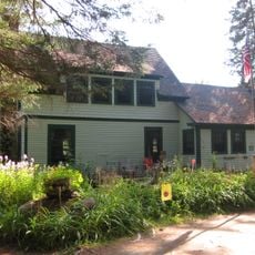
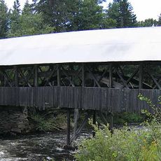
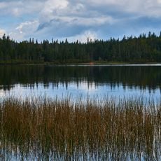
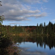
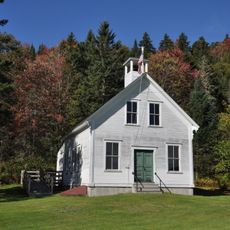
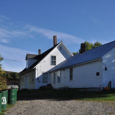
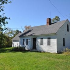
Dixville Notch is a small community in Dixville township in northern New Hampshire, close to the Canadian border. The settlement sits at about 1,800 feet (550 meters) elevation among forested mountains, where the historic Balsams Grand Resort Hotel stands.
Neil Tillotson purchased the Balsams Resort in 1954 and started the midnight voting tradition, first held during the 1960 presidential election. Since then, the registered voters of the community regularly gather as the first in the nation to cast their ballots.
During elections, residents gather at midnight in the polling place while journalists from across the country follow the voting. After casting ballots, the community sings the national anthem together.
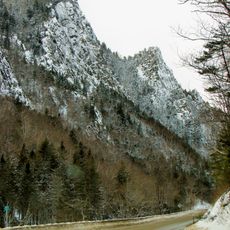
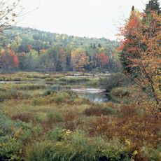
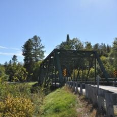
New Hampshire Route 26 runs through the mountain pass, connecting Colebrook to the west with Errol to the southeast. The route through the forested mountains provides access to the area around the historic hotel.
All registered voters in the community cast their ballots at midnight, making the results the first to be announced nationwide. The tiny electorate has received nationwide attention during presidential elections for decades.
The community of curious travelers
AroundUs brings together thousands of curated places, local tips, and hidden gems, enriched daily by 60,000 contributors worldwide.