Chest opened
+${chestReward.xp} XP
Explorer
NOUVEAU ×${chestReward.collectible.quantity}
tapez pour fermer
Chest locked

Open chests in the app

Around Us is built for your phone — chests unlock when you walk, explore and capture nearby places.

Enable Location

We need your location to show you interesting places around you

Discover nearby places

Find interesting locations and hidden gems around you

Precise directions

Get accurate directions and distances to places

Your location is never shared with other users. It's only used when you tap the location button.

Allegheny River

Log in to your account

Start exploring — it's free

Trusted by 72,885 travelers worldwide

Continue with Google
Continue with Apple
or

We will send you a code to connect

By continuing, you accept our Terms and Conditions and our Privacy Policy

Check your inbox

We've sent a pincode in your inbox. Please enter the code below.

Allegheny River
Discussion Reviews 3 Photos
87.1k Popularity

Allegheny River, Major river in Pennsylvania, United States

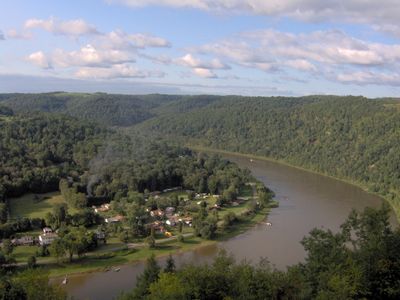
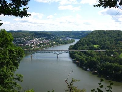
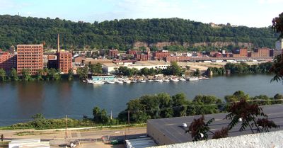
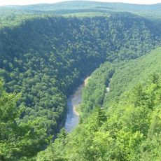
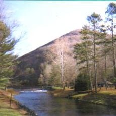
The Allegheny is a river in western Pennsylvania and southwestern New York that runs about 325 miles (523 kilometers) through forested hill country. It flows southward and meets the Monongahela at Pittsburgh, where both rivers form the Ohio.

During the 17th century the river valley saw conflict between the Shawnee and Iroquois, both seeking control over this waterway. Later, locks and dams were built to ease navigation between Pittsburgh and the northern stretches.

The name comes from the Delaware word Alikehane, meaning river where traces remain visible along the banks. Today boaters explore the waterway and anglers try their luck from the shore or small piers.

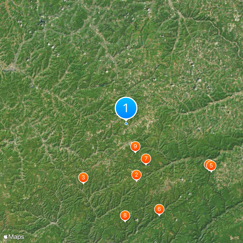
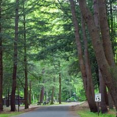
The river can be reached at several shore points and boat launches, many located near towns along its course. Walking paths and cycling trails run beside sections of the water, offering views from the bank.

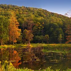
The Kinzua Dam was completed in 1965 and created the 24-mile (39-kilometer) Allegheny Reservoir, reshaping much of the original river landscape. The project led to Seneca Nation communities leaving their homelands and starting over elsewhere.

The community of curious travelers

AroundUs brings together thousands of curated places, local tips, and hidden gems, enriched daily by 60,000 contributors worldwide.

Start exploring
Location
Location
GPS coordinates
41.87284,-77.87500
Latest update
December 13, 2025 16:00
Around this place
Cherry Springs State Park
United States of America

Cherry Springs State Park

23.8 km
Austin Dam
United States of America

Austin Dam

30.1 km
Colton Point State Park
United States of America

Colton Point State Park

38.9 km
Leonard Harrison State Park
United States of America

Leonard Harrison State Park

40 km
Ole Bull State Park
United States of America

Ole Bull State Park

39.9 km
Lyman Run State Park
United States of America

Lyman Run State Park

18.6 km
Hammersley Wild Area
United States of America

Hammersley Wild Area

40 km
Denton Hill State Park
United States of America

Denton Hill State Park

12.3 km
Sizerville State Park
United States of America

Sizerville State Park

40.8 km
Lynn Hall
United States of America

Lynn Hall

36.2 km
Pennsylvania Lumber Museum
United States of America

Pennsylvania Lumber Museum

11 km
Patterson State Park
United States of America

Patterson State Park

19.8 km
Belmont Hotel
United States of America

Belmont Hotel

41.1 km
Allen Steinheim Museum
United States of America

Allen Steinheim Museum

43.1 km
Alumni Hall
United States of America

Alumni Hall

42.9 km
Coudersport Historic District
United States of America

Coudersport Historic District

16.4 km
Alfred Village Historic District
United States of America

Alfred Village Historic District

43 km
Belmont Grange No. 1243
United States of America

Belmont Grange No. 1243

41.5 km
Bedford Corners Historic District
United States of America

Bedford Corners Historic District

41.3 km
Friendship Free Library
United States of America

Friendship Free Library

43 km
Belmont Literary and Historical Society Free Library
United States of America

Belmont Literary and Historical Society Free Library

41.2 km
William E. Wheeler House
United States of America

William E. Wheeler House

42.7 km
Portville Free Library
United States of America

Portville Free Library

42.7 km
Scholes Library
United States of America

Scholes Library

43.3 km
Potter County Courthouse
United States of America

Potter County Courthouse

16.3 km
Cherry Springs Picnic Pavilion
United States of America

Cherry Springs Picnic Pavilion

23.9 km
Colton Point State Park Historic District
United States of America

Colton Point State Park Historic District

38.9 km
Central Dining Hall
United States of America

Central Dining Hall

43.2 km
Show the full map
Reviews
Share your experience

No review yet

Discussions
Start a discussion...

No discussion yet

« Allegheny River - Major river in Pennsylvania, United States » is provided by Around Us (aroundus.com). Images and texts are derived from Wikimedia project under a Creative Commons license. You are allowed to copy, distribute, and modify copies of this page, under the conditions set by the license, as long as this note is clearly visible.

Discover hidden gems everywhere you go!

From secret cafés to breathtaking viewpoints, skip the crowded tourist spots and find places that match your style. Our app makes it easy with voice search, smart filtering, route optimization, and insider tips from travelers worldwide. Download now for the complete mobile experience.

Around Us App Screenshot

A unique approach to discovering new places

Le Figaro

All the places worth exploring

France Info

A tailor-made excursion in just a few clicks

20 Minutes

Around Us
Travel Guide & Maps
Download

Send to your phone

QR Code
1

Open the camera app on your mobile.

2

Point at the QR code with your camera. A notification will appear.

3

Tap the notification to open the link.