
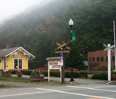
Marlinton, town in West Virginia, US
Location: Pocahontas County
Elevation above the sea: 648 m
Website: https://local.wv.gov/marlinton
GPS coordinates: 38.22470,-80.09470
Latest update: March 8, 2025 09:40
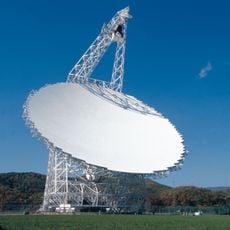
Green Bank Telescope
32.2 km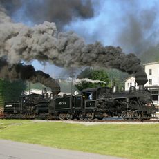
Cass Scenic Railroad State Park
24.8 km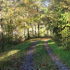
Greenbrier River Trail
337 m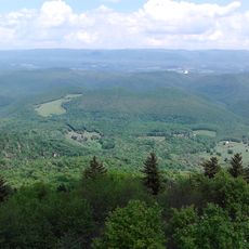
Bald Knob
28.6 km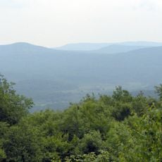
Cranberry Wilderness
21.6 km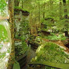
Beartown State Park
24.9 km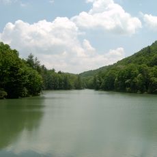
Watoga State Park
14.3 km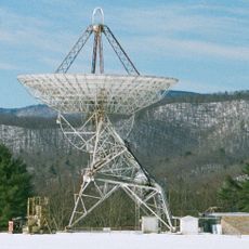
Green Bank Interferometer
32.2 km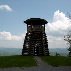
Droop Mountain Battlefield State Park
20.1 km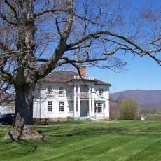
Pearl S. Buck Birthplace
13.4 km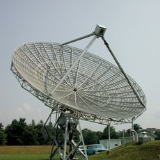
40-foot telescope
33 km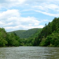
Spice Run Wilderness
23.6 km
Seneca State Forest
18 km
Hidden Valley
27.8 km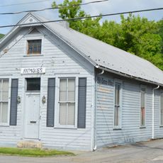
Pocahontas Times Print Shop
170 m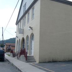
Pocahontas County Opera House
245 m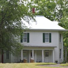
Frank and Anna Hunter House
702 m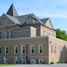
Pocahontas County Courthouse and Jail
937 m
Cass Historic District
24.1 km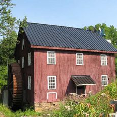
McNeel Mill
10.7 km
Pleasant Green Methodist Episcopal Church
12.4 km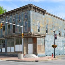
IOOF Lodge Building
132 m
Droop Mountain Battlefield State Park
20 km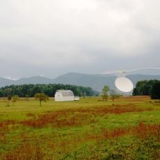
Green Bank Observatory
32.8 km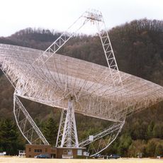
300 foot Radio Telescope
32.2 km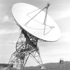
Howard E. Tatel Radio Telescope
33.1 km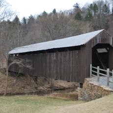
Locust Creek Covered Bridge
21.1 km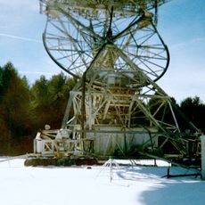
Green Bank 85-3 telescope
31.7 kmReviews
Visited this place? Tap the stars to rate it and share your experience / photos with the community! Try now! You can cancel it anytime.
Discover hidden gems everywhere you go!
From secret cafés to breathtaking viewpoints, skip the crowded tourist spots and find places that match your style. Our app makes it easy with voice search, smart filtering, route optimization, and insider tips from travelers worldwide. Download now for the complete mobile experience.

A unique approach to discovering new places❞
— Le Figaro
All the places worth exploring❞
— France Info
A tailor-made excursion in just a few clicks❞
— 20 Minutes