Chest opened
+${chestReward.xp} XP
Explorer
NOUVEAU ×${chestReward.collectible.quantity}
tapez pour fermer
Chest locked

Open chests in the app

Around Us is built for your phone — chests unlock when you walk, explore and capture nearby places.

Enable Location

We need your location to show you interesting places around you

Discover nearby places

Find interesting locations and hidden gems around you

Precise directions

Get accurate directions and distances to places

Your location is never shared with other users. It's only used when you tap the location button.

Town of Copake

Log in to your account

Start exploring — it's free

Trusted by 73,022 travelers worldwide

Continue with Google
Continue with Apple
or

We will send you a code to connect

By continuing, you accept our Terms and Conditions and our Privacy Policy

Check your inbox

We've sent a pincode in your inbox. Please enter the code below.

Discussion Reviews 1 Photos
14.6k Popularity

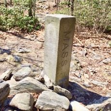
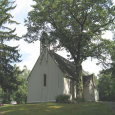
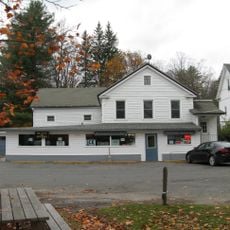
Town of Copake, Administrative town in Columbia County, New York, United States.

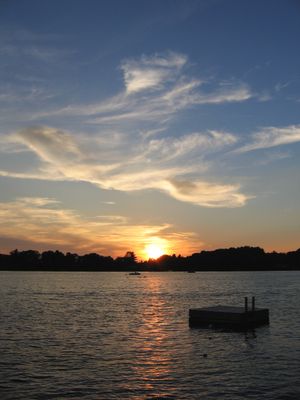
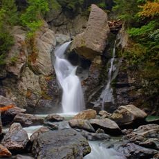
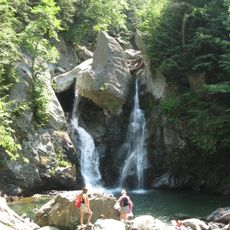
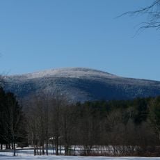
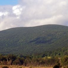
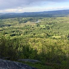
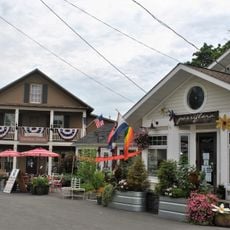
Copake is an administrative town in the eastern part of Columbia County, New York, with multiple lakes and waterways throughout its area. The Roeliff Jansen Kill river runs through the region and shapes its natural geography.

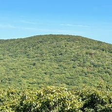
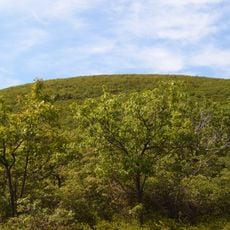
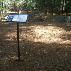
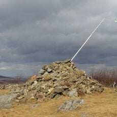
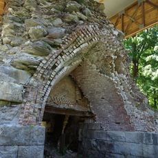
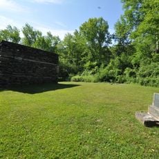
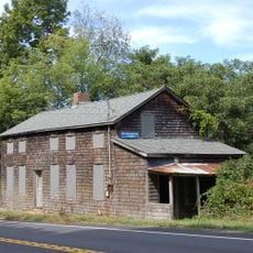
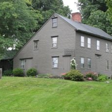
The town was established in 1824 and grew through iron mining operations during the 19th century, which heavily influenced the region's economic development. The mining pits from that era have since become recreational sites.

The name Copake comes from indigenous peoples and means Snake Pond in their language. This heritage remains visible today in the waterways and landscape that shape daily life for residents.

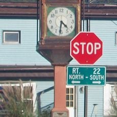
Visiting requires knowing where local offices handle permits and licenses for residents and visitors. The best time to visit is during months with milder weather, when lakes and outdoor areas are easier to access.

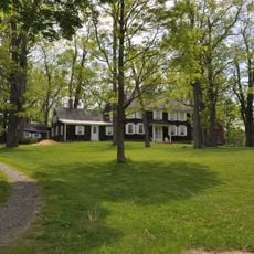
Camphill Village is a residential community where adults with developmental disabilities work together in farming and crafts. This settlement shows an unusual approach to living and working in the area.

The community of curious travelers

AroundUs brings together thousands of curated places, local tips, and hidden gems, enriched daily by 60,000 contributors worldwide.

Start exploring
Location
GPS coordinates
42.10355,-73.54966
Latest update
December 7, 2025 20:21
Around this place
Bash Bish Falls
United States of America

Bash Bish Falls

4.8 km
Mount Frissell
United States of America

Mount Frissell

8.1 km
Bear Mountain
United States of America

Bear Mountain

10.2 km
Bash Bish Falls State Park
United States of America

Bash Bish Falls State Park

4.6 km
Mount Everett
United States of America

Mount Everett

9.6 km
W.E.B. Du Bois Boyhood Homesite
United States of America

W.E.B. Du Bois Boyhood Homesite

15.3 km
Brace Mountain
United States of America

Brace Mountain

8.1 km
Mount Washington State Forest
United States of America

Mount Washington State Forest

7.1 km
Mount Everett State Reservation
United States of America

Mount Everett State Reservation

9.7 km
South Taconic Trail
United States of America

South Taconic Trail

8.1 km
Jug End State Reservation and Wildlife Management Area
United States of America

Jug End State Reservation and Wildlife Management Area

9.6 km
Mount Riga State Park
United States of America

Mount Riga State Park

12.2 km
United States of America

Round Mountain

8.6 km
Copake Iron Works Historic District
United States of America

Copake Iron Works Historic District

3.4 km
Church of St. John in the Wilderness
United States of America

Church of St. John in the Wilderness

3.2 km
Mount Riga Ironworks
United States of America

Mount Riga Ironworks

12.9 km
Benjamin Osborn House
United States of America

Benjamin Osborn House

6.8 km
South Egremont Village Historic District
United States of America

South Egremont Village Historic District

13 km
Hillsdale Hamlet Historic District
United States of America

Hillsdale Hamlet Historic District

8.8 km
Copake Memorial Clock
United States of America

Copake Memorial Clock

19 m
North Chatham Historic District
United States of America

North Chatham Historic District

3.4 km
Columbia Turnpike-East Tollhouse
United States of America

Columbia Turnpike-East Tollhouse

10.2 km
North Egremont Historic District
United States of America

North Egremont Historic District

13.9 km
Westover-Bacon-Potts Farm
United States of America

Westover-Bacon-Potts Farm

12 km
General John and Mary Fellows Farmstead
United States of America

General John and Mary Fellows Farmstead

13.3 km
Copake Country Club
United States of America

Copake Country Club

7 km
Mount Race
United States of America

Mount Race

10 km
North Hillsdale Methodist Church
United States of America

North Hillsdale Methodist Church

15.3 km
Show the full map
Reviews
Share your experience

No review yet

Discussions
Start a discussion...

No discussion yet

« Town of Copake - Administrative town in Columbia County, New York, United States » is provided by Around Us (aroundus.com). Images and texts are derived from Wikimedia project under a Creative Commons license. You are allowed to copy, distribute, and modify copies of this page, under the conditions set by the license, as long as this note is clearly visible.

Discover hidden gems everywhere you go!

From secret cafés to breathtaking viewpoints, skip the crowded tourist spots and find places that match your style. Our app makes it easy with voice search, smart filtering, route optimization, and insider tips from travelers worldwide. Download now for the complete mobile experience.

Around Us App Screenshot

A unique approach to discovering new places

Le Figaro

All the places worth exploring

France Info

A tailor-made excursion in just a few clicks

20 Minutes

Around Us
Travel Guide & Maps
Download

Send to your phone

QR Code
1

Open the camera app on your mobile.

2

Point at the QR code with your camera. A notification will appear.

3

Tap the notification to open the link.