Chest opened
+${chestReward.xp} XP
Explorer
NOUVEAU ×${chestReward.collectible.quantity}
tapez pour fermer
Chest locked

Open chests in the app

Around Us is built for your phone — chests unlock when you walk, explore and capture nearby places.

Enable Location

We need your location to show you interesting places around you

Discover nearby places

Find interesting locations and hidden gems around you

Precise directions

Get accurate directions and distances to places

Your location is never shared with other users. It's only used when you tap the location button.

Log in to your account

Start exploring — it's free

Trusted by 72,884 travelers worldwide

Continue with Google
Continue with Apple
or

We will send you a code to connect

By continuing, you accept our Terms and Conditions and our Privacy Policy

Check your inbox

We've sent a pincode in your inbox. Please enter the code below.

D.A.R. State Forest
Discussion Reviews Photo
1.3k Popularity

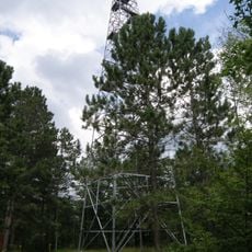
D.A.R. State Forest, State forest in Pine County, Minnesota, United States.

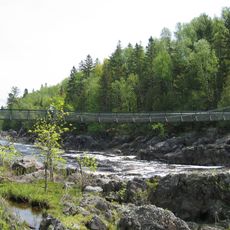
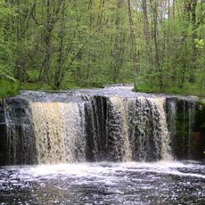
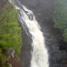
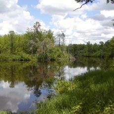
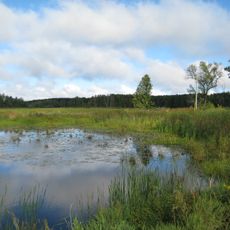
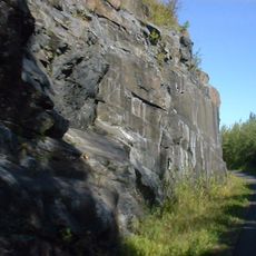
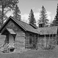
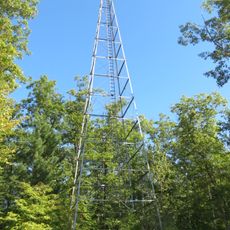
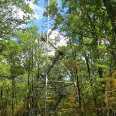
D.A.R. State Forest is a state forest in Pine County that covers 643 acres with pine stands and lakes scattered throughout the property. The wooded area features typical northern forest vegetation and water bodies that shape the local landscape.

The state forest was established in 1943 by the Minnesota Department of Natural Resources and named after the Daughters of the American Revolution organization. This naming honored the group's involvement in supporting conservation efforts in the region.

The forest contributes to Minnesota's commitment to preserving natural spaces while offering opportunities for outdoor activities and environmental education.

The forest has no developed recreational facilities and can be challenging to navigate without preparation. Visitors should check the Minnesota DNR website for current maps and conditions before heading out.

This forest follows both the WWF Classification of Western Great Lakes Forests and EPA Classification of Northern Lakes and Forests guidelines.

The community of curious travelers

AroundUs brings together thousands of curated places, local tips, and hidden gems, enriched daily by 60,000 contributors worldwide.

Start exploring
Location
GPS coordinates
46.20830,-92.74880
Latest update
December 14, 2025 18:13
Around this place
Jay Cooke State Park
United States of America

Jay Cooke State Park

58.7 km
Banning State Park
United States of America

Banning State Park

9.5 km
Pattison State Park
United States of America

Pattison State Park

59.8 km
St. Croix State Park
United States of America

St. Croix State Park

29 km
Big Manitou Falls
United States of America

Big Manitou Falls

60.4 km
Father Hennepin State Park
United States of America

Father Hennepin State Park

57.4 km
Willard Munger State Trail
United States of America

Willard Munger State Trail

27.1 km
Moose Lake State Park
United States of America

Moose Lake State Park

26 km
Rice Lake National Wildlife Refuge
United States of America

Rice Lake National Wildlife Refuge

57.7 km
Fond du Lac State Forest
United States of America

Fond du Lac State Forest

52.3 km
Church of Sts. Joseph and Mary-Catholic
United States of America

Church of Sts. Joseph and Mary-Catholic

53.7 km
Carlton County Courthouse
United States of America

Carlton County Courthouse

56.6 km
Kanabec County Courthouse
United States of America

Kanabec County Courthouse

55.9 km
Snake River Fur Post
United States of America

Snake River Fur Post

49.5 km
Arthyde Stone House
United States of America

Arthyde Stone House

30.8 km
Daniels Town Hall
United States of America

Daniels Town Hall

53.2 km
Hinckley Fire Museum
United States of America

Hinckley Fire Museum

26.2 km
Solana State Forest
United States of America

Solana State Forest

36.5 km
Snake River Fur Post State Historic Site
United States of America

Snake River Fur Post State Historic Site

47.8 km
St. Croix Recreational Demonstration Area
United States of America

St. Croix Recreational Demonstration Area

31.7 km
St. Croix State Park Fire Tower
United States of America

St. Croix State Park Fire Tower

28.9 km
Swinging Bridge, Minnesota
United States of America

Swinging Bridge, Minnesota

57.5 km
Cromwell Lookout Tower
United States of America

Cromwell Lookout Tower

56 km
Jay Cooke State Park CCC/Rustic Style Historic District‎
United States of America

Jay Cooke State Park CCC/Rustic Style Historic District‎

57.5 km
White Pine Lookout Tower
United States of America

White Pine Lookout Tower

39 km
Nickerson Lookout Tower
United States of America

Nickerson Lookout Tower

27.2 km
Jay Cooke State Park CCC/WPA/Rustic Style Picnic Grounds
United States of America

Jay Cooke State Park CCC/WPA/Rustic Style Picnic Grounds

58.3 km
Cloquet Lookout Tower
United States of America

Cloquet Lookout Tower

56.1 km
Show the full map
Reviews
Share your experience

No review yet

Discussions
Start a discussion...

No discussion yet

« D.A.R. State Forest - State forest in Pine County, Minnesota, United States » is provided by Around Us (aroundus.com). Images and texts are derived from Wikimedia project under a Creative Commons license. You are allowed to copy, distribute, and modify copies of this page, under the conditions set by the license, as long as this note is clearly visible.

Discover hidden gems everywhere you go!

From secret cafés to breathtaking viewpoints, skip the crowded tourist spots and find places that match your style. Our app makes it easy with voice search, smart filtering, route optimization, and insider tips from travelers worldwide. Download now for the complete mobile experience.

Around Us App Screenshot

A unique approach to discovering new places

Le Figaro

All the places worth exploring

France Info

A tailor-made excursion in just a few clicks

20 Minutes

Around Us
Travel Guide & Maps
Download

Send to your phone

QR Code
1

Open the camera app on your mobile.

2

Point at the QR code with your camera. A notification will appear.

3

Tap the notification to open the link.